Post 2 0f 8
A RIVER OF TIME
Georgia to the Gulf, 225 river miles, 10 paddle days
.
DAY THREE (Wednesday) – BIG SHOALS – 180 rm – 159 rm = 21 miles of work, heavy rain.
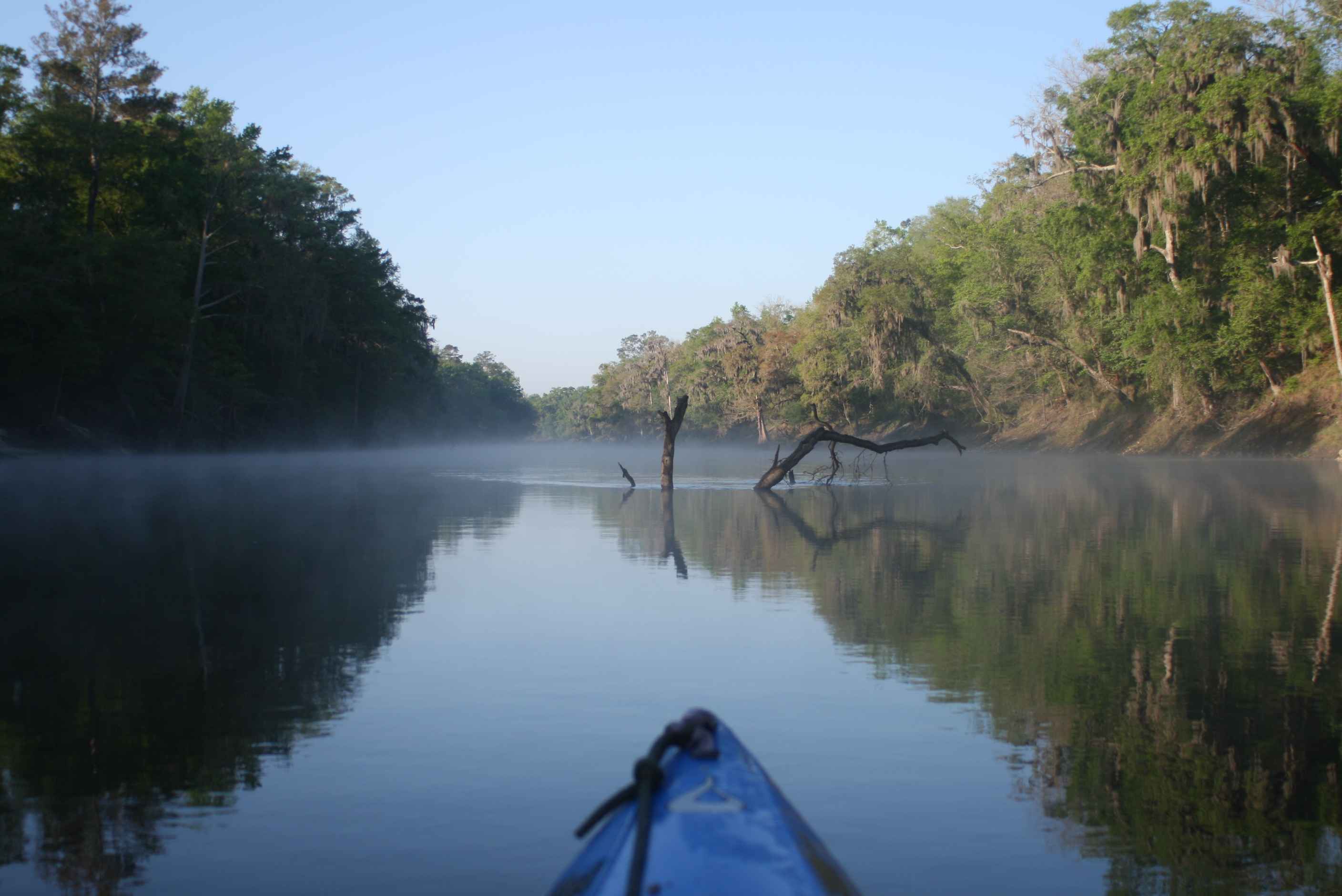
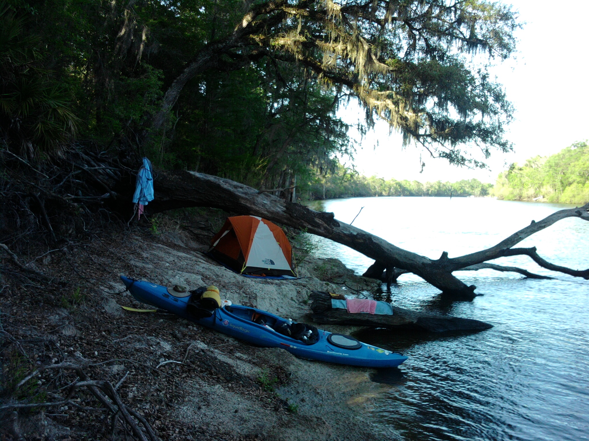
I suppose we had to feel lucky, because even with the overcast and misty weather Gordy and I hadn’t had to set-up or break-down camp during heavy rain. Personally, I really didn’t mind the overcast – not having Florida’s blistering sun was a relief. Once again we were up early from another ‘primitive’ camp, packed, and paddling by 830 am. Gordy was good at having boiling water ready for breakfast and we were still honing our skills with the Suwannee river ‘jolt (coffee) – not the consistency of Starbucks but in the right direction..

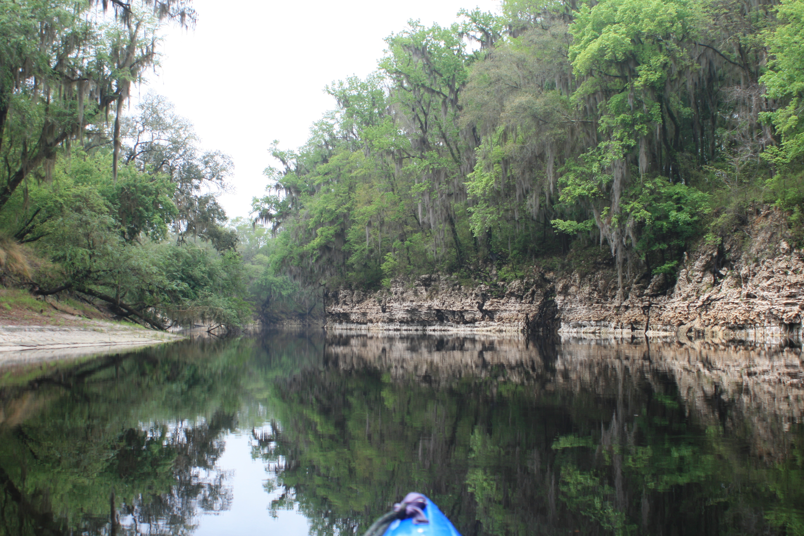
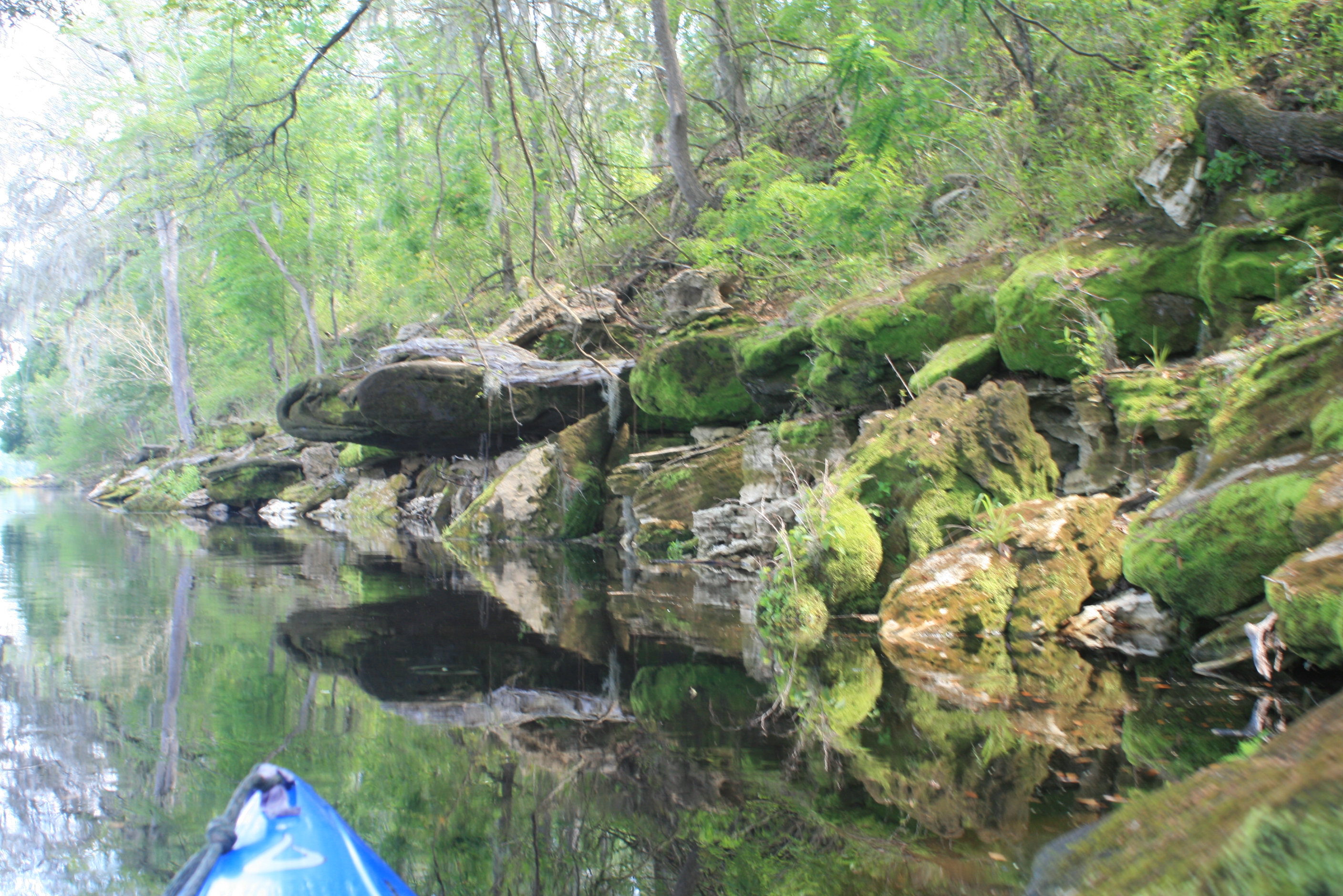
The Suwannee’s current seemed a little more solid than the previous day, but no noticeable changes in the water-marks. The water-table drop had been noticeable through those shoreline marks, but no change through the night – this was good. You can figure a few miles of slow water (pools) just above Florida’s only class III rapids, Big Shoals.
As we paddled this section of flatwater the Osprey continuously moved ahead from the trees ahead, once again reminding me of rivers past.

Big Shoals signage
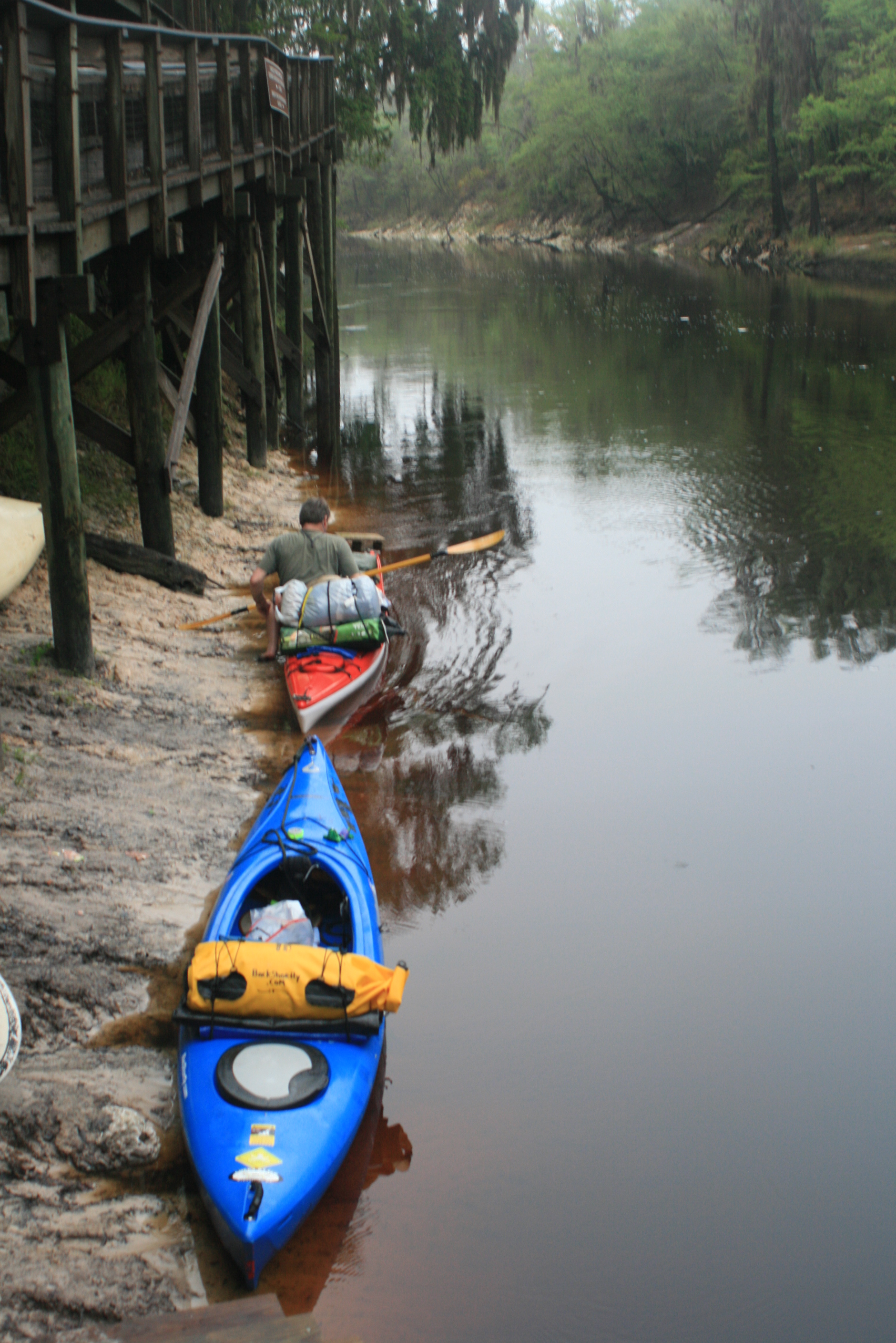
There were a couple of signs (first picture) warning of Big Shoals along the way, but the signs were overgrown with moss and easy to miss; you will hear the water ahead. The stop sign at the portage point to river-left was obvious (was missing on a later paddle) – we made Big Shoals at 10:30am.

With a 1000′ of shoals ahead the plan was to portage our gear, size-up the shoals, and then portage our kayaks. Its almost worth it to take a ‘dollie’ for this section (and then drop it off by your vehicle downriver) – I think Gordy would have appreciated it..

Half-way camp on Big Shoals

Big Shoals at 50.4 ft (White Springs reading)
It wasn’t 100% that I wouldn’t take traveller down the rapids – in reviewing the section it didn’t look any more intimidating than the class II’s that I know from the Carolina. I pondered the thought as we portaged Gordy’s Perception around.
Over the years I’ve learned to take certain ‘advice’ as simply an ‘opinion.’ ‘Opinions’ are weighed for safety yet also understood as a conglomeration of individual values and interpretation. My inclination was reinforced when ‘rafting’ the Mississippi as a number of folks clearly implied that “the waves from the towboats would sink me,” “there would be NO fuel for 400 miles,” “and the mosquito’s would ‘carry me away.'” Opinions; and it wasn’t so.


.
.


Plus – I’ve always had trouble with “don’t,” especially when my common sense tells me different. Here, the danger could lie with the sharpness of the limestone rocks – still, I’m glad that I slipped through because Big Shoals was simply a big puss on this date.
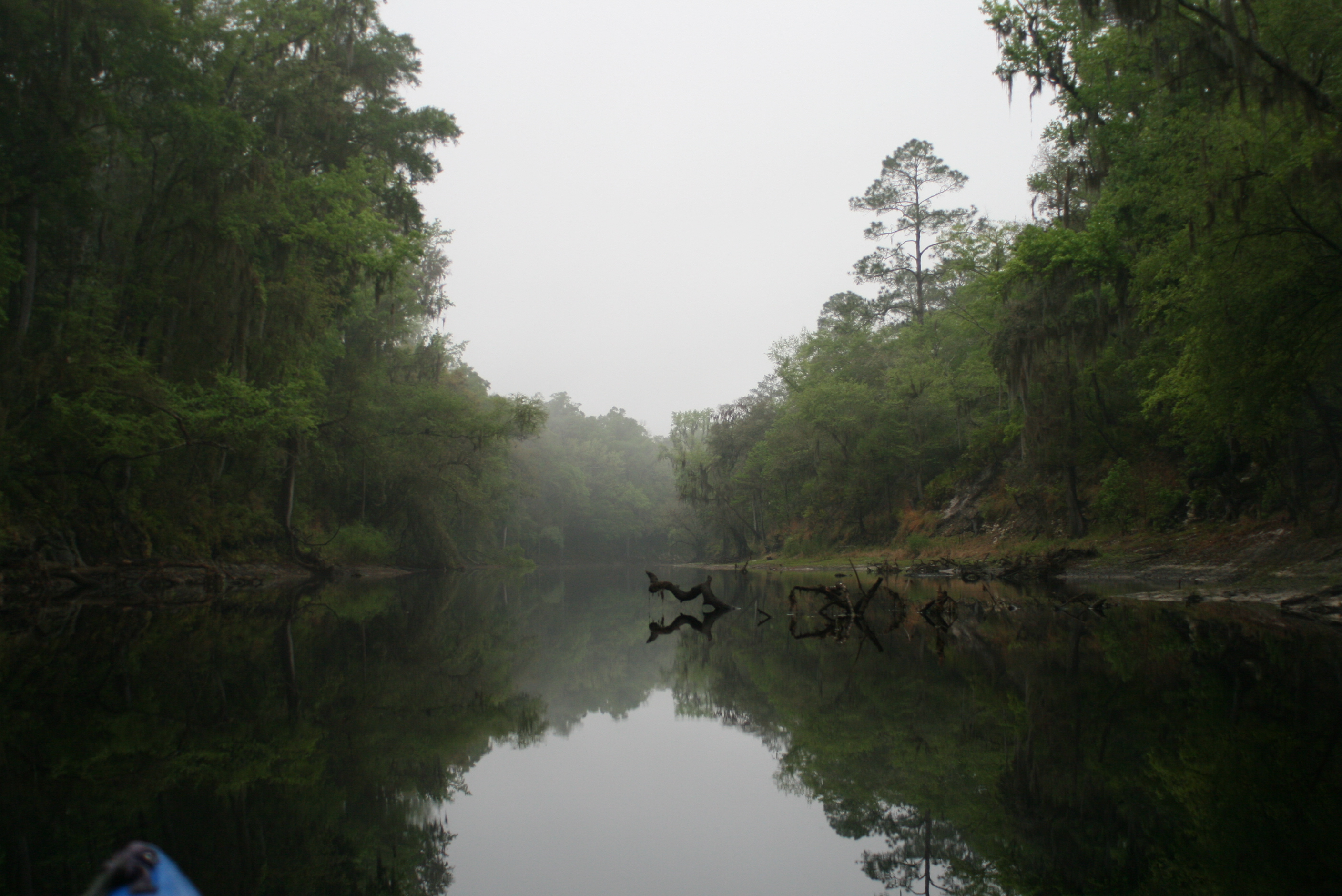
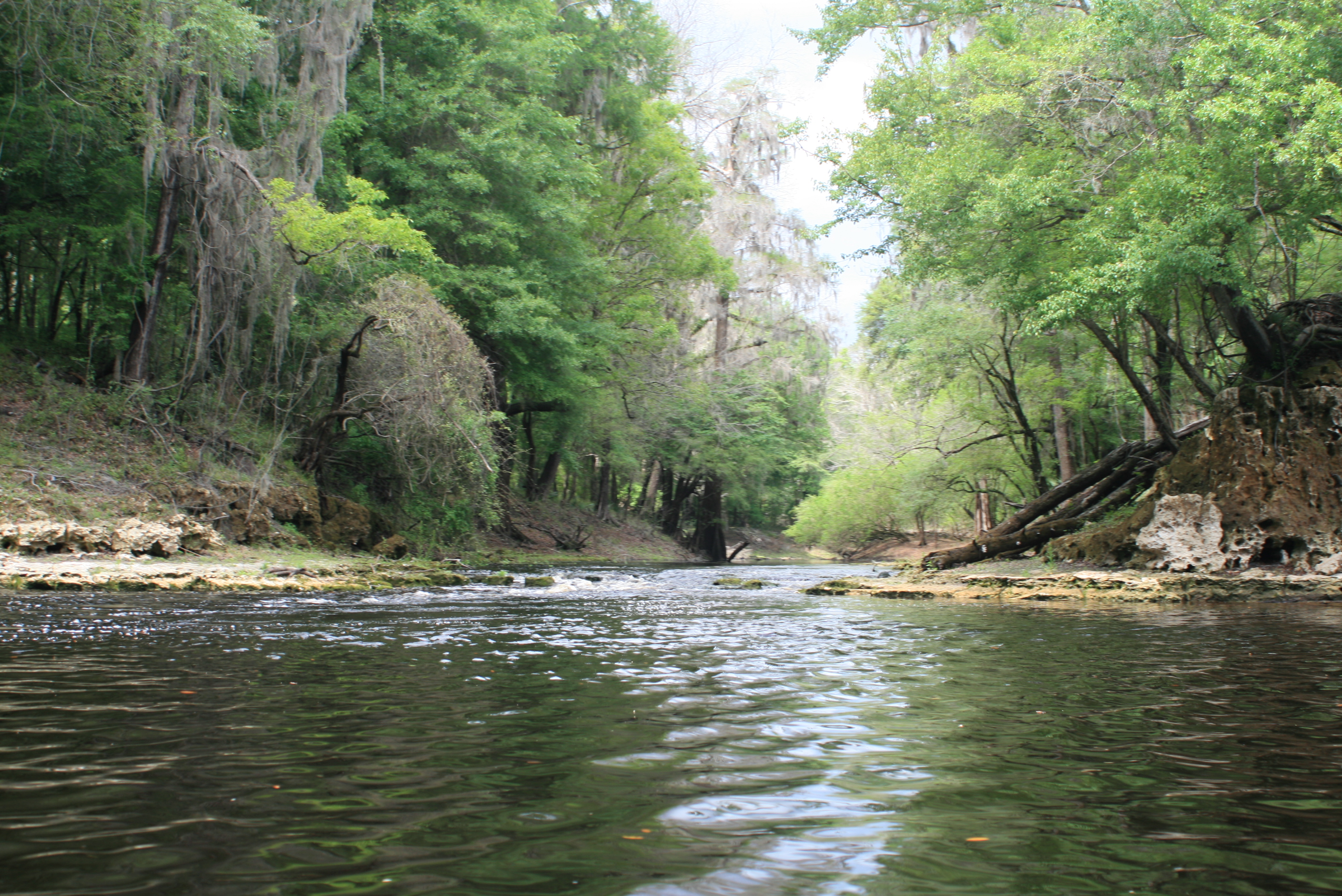
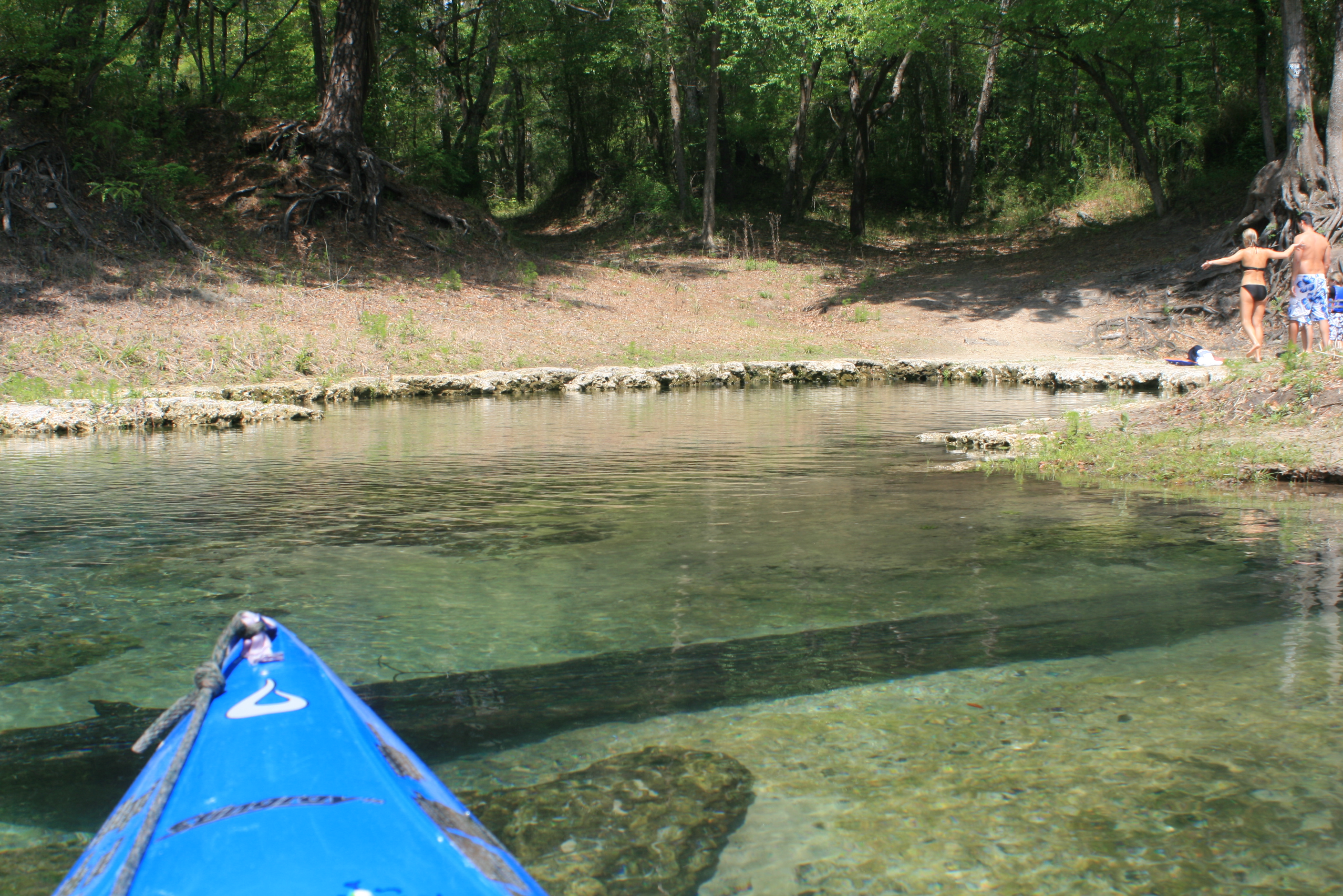
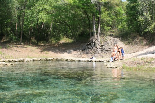
the rewards were more sections of slow water with other smaller shoals ahead to maneuver.

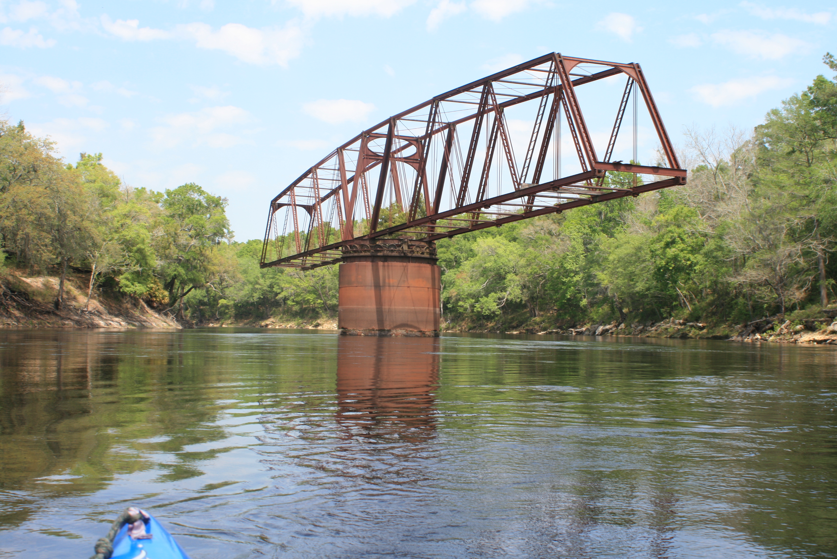
Hwy-41 White Springs
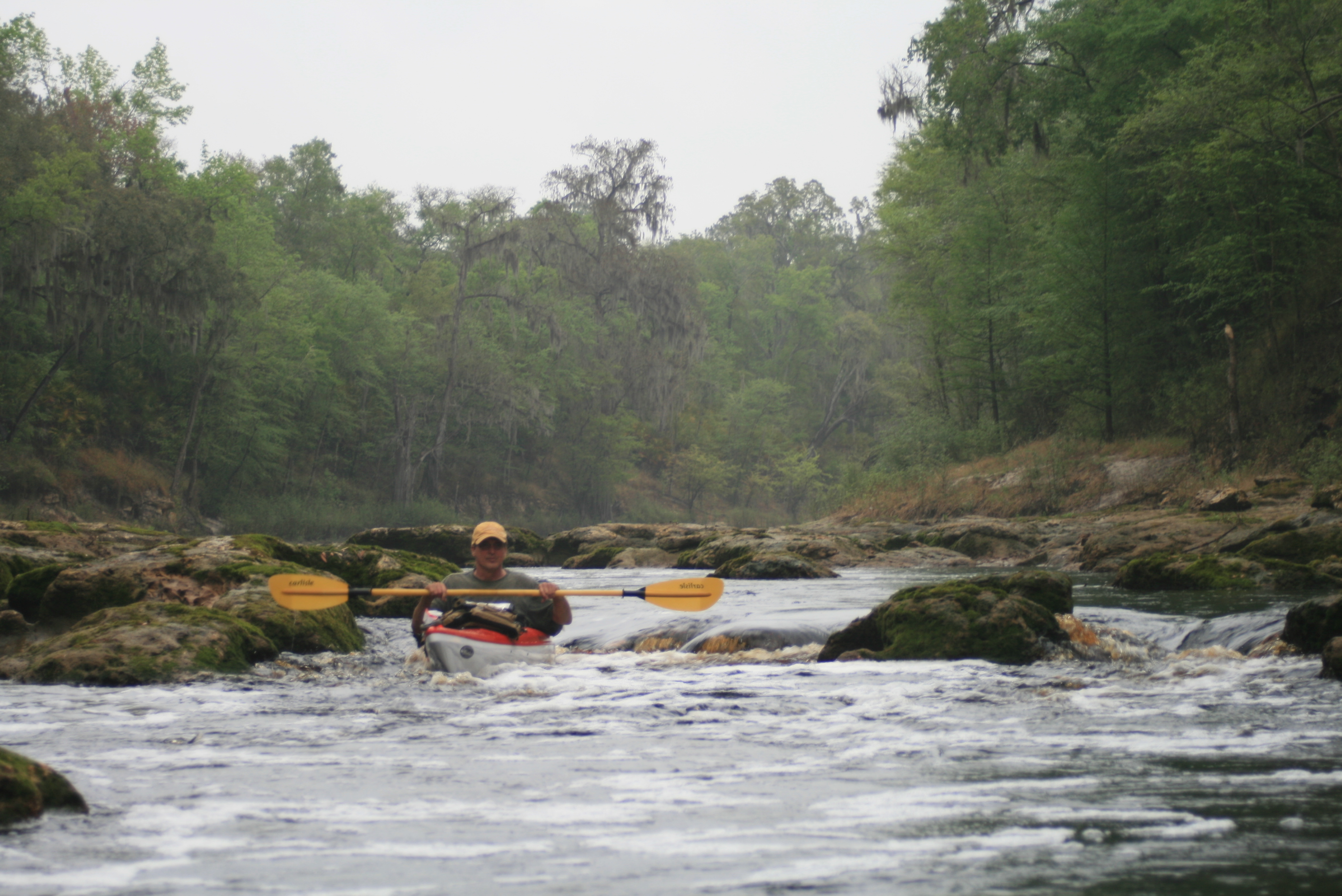
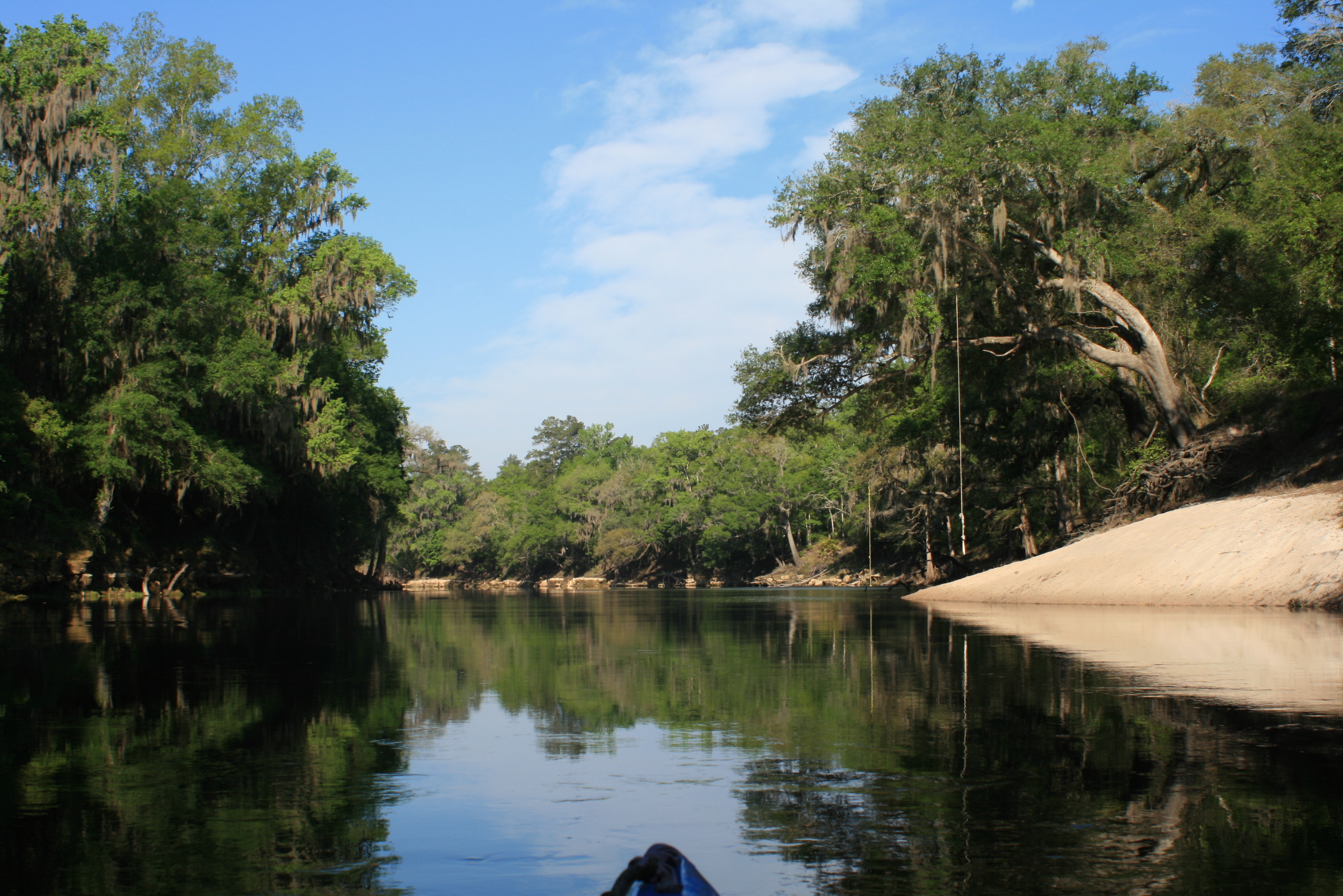
The other ‘shoals’ along the way were more inviting and easier to pick your ‘line’ through. In driving across the hwy-41 bridge a few days earlier, I had noticed these rapids upriver (“little shoals”) – the water level had me concerned but it was more fun than an issue – it was noon when we made this benchmark.
Note: The Hwy-41 bridge at White Springs is a popular starting point for many (avoiding Big Shoals), two days with a night along the river at the Woods Ferry River Camp, before returning to the Suwannee Outpost – it is just a sampling of the Suwannee.

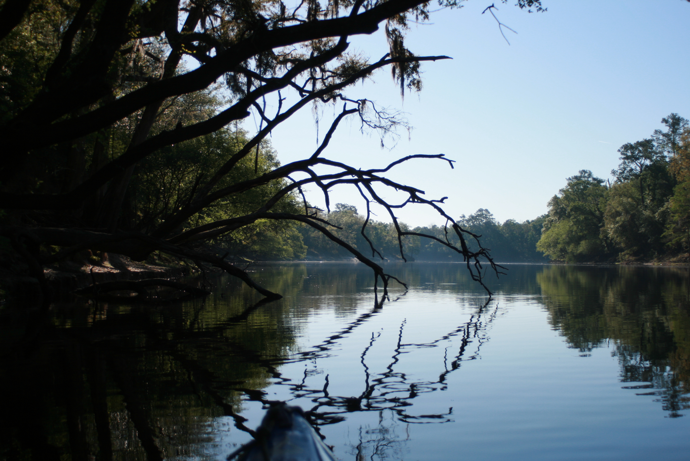
The river from White Springs to I-75 has its own character, a simple flow, a playful section of moving water that after paddling though it, I could easily understand where weekend paddlers could enjoy.
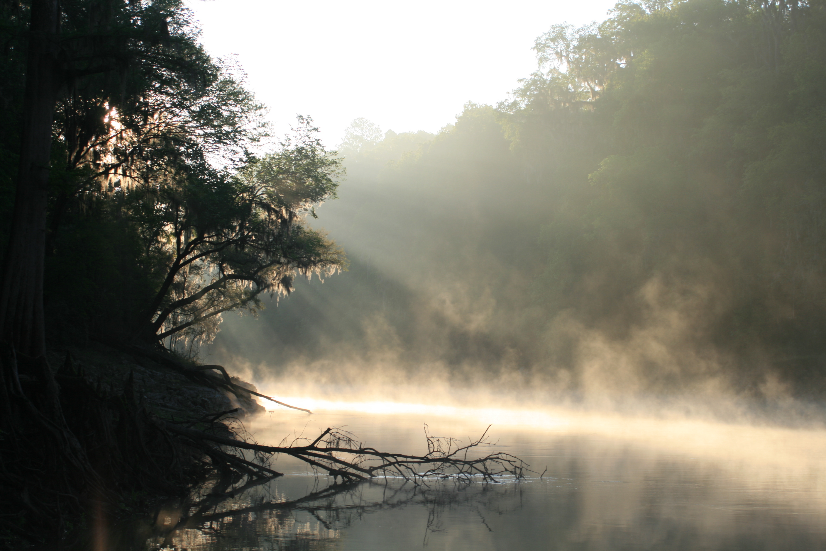
Our day-3 on the Suwannee remained overcast so my camera was off more than on, I hated that because its an easy method of note keeping, plus there’s always some neat stuff too – but pulling it out in the rain could leave it useless if the sun were to ever come-out.


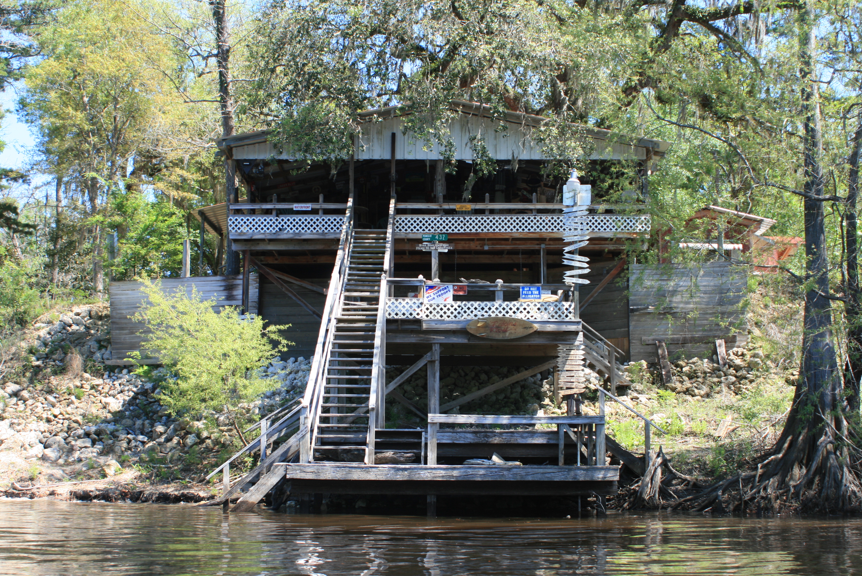
White Springs. In the 1800’s this was a wooden ‘spring-house,’ then rebuilt at a later date – more history on this link. Somewhere in here we passed the granite steps of the Stephen Foster park (tap water available here).
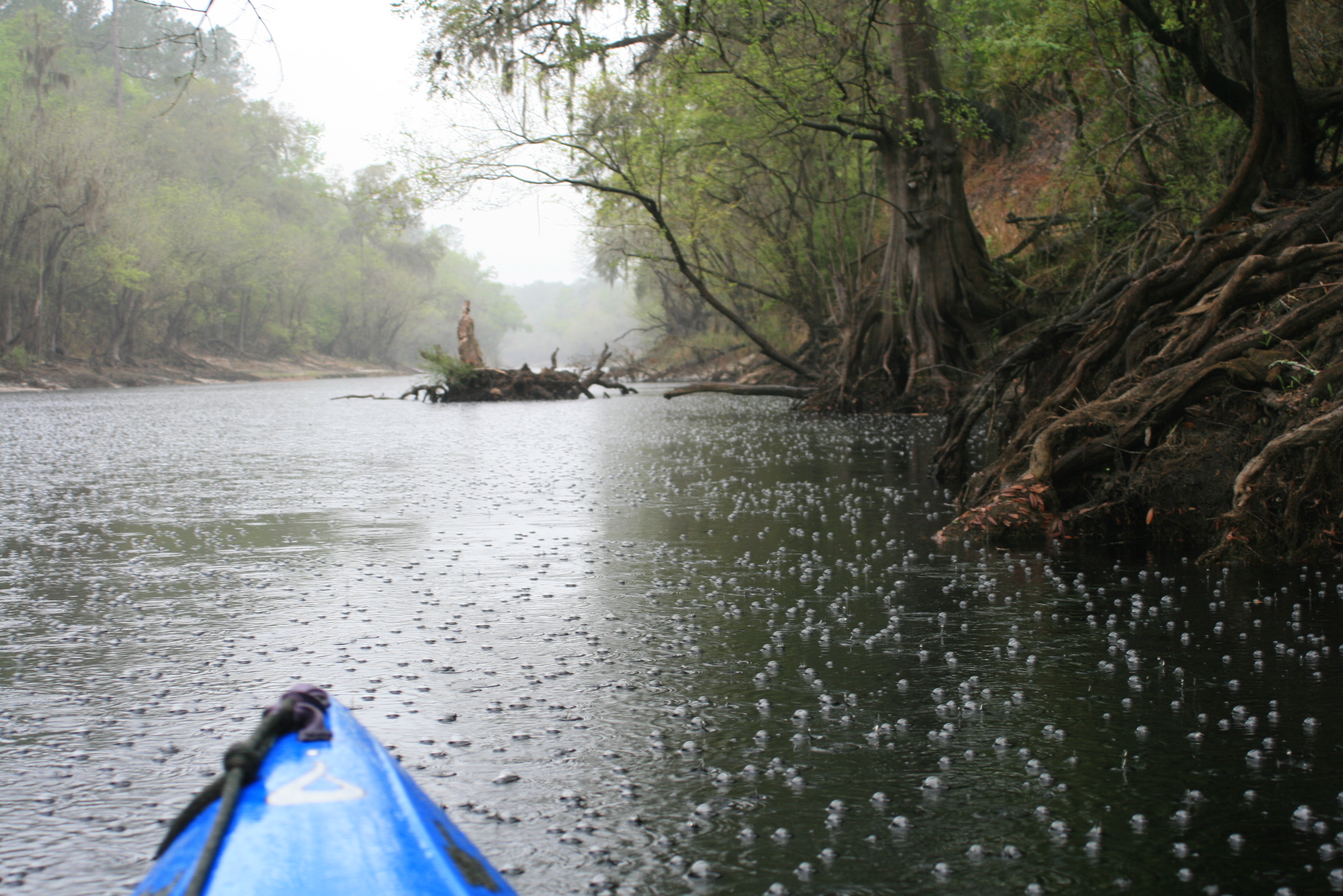 and then came a good ole Florida downpour, again the tannin waters bubbling response – neat.

I have never paddled in as wet conditions as we paddled through on this date, with the exception of a little dryness in the t-shirt area, we were soaked. Gordy stopped to pump his boat out twice – if there was an upside to it – it was a ‘warm’ wet rather than a ‘cold’ wet and the continual act of paddling kept us charged – somewhere in it all it was easier to think about the rain and not the act of paddlin (after three days there is a little dread in the arms).
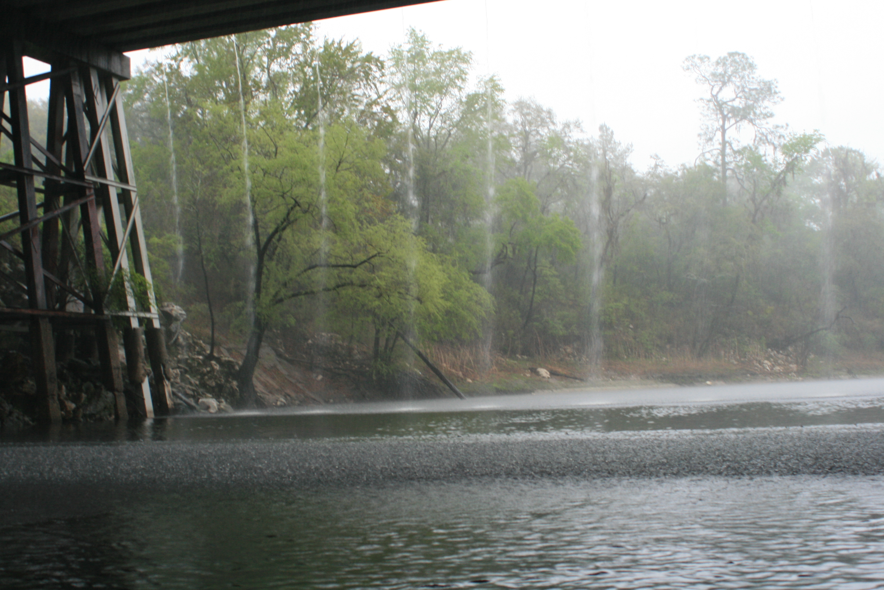
Again, the downside to the rain for me was that I couldn’t pull the camera out – not sure why we stopped under Interstate-75 but we did, contemplated it all as the water gushed from the roadway above – and then paddled on. The I-75 waterfall.

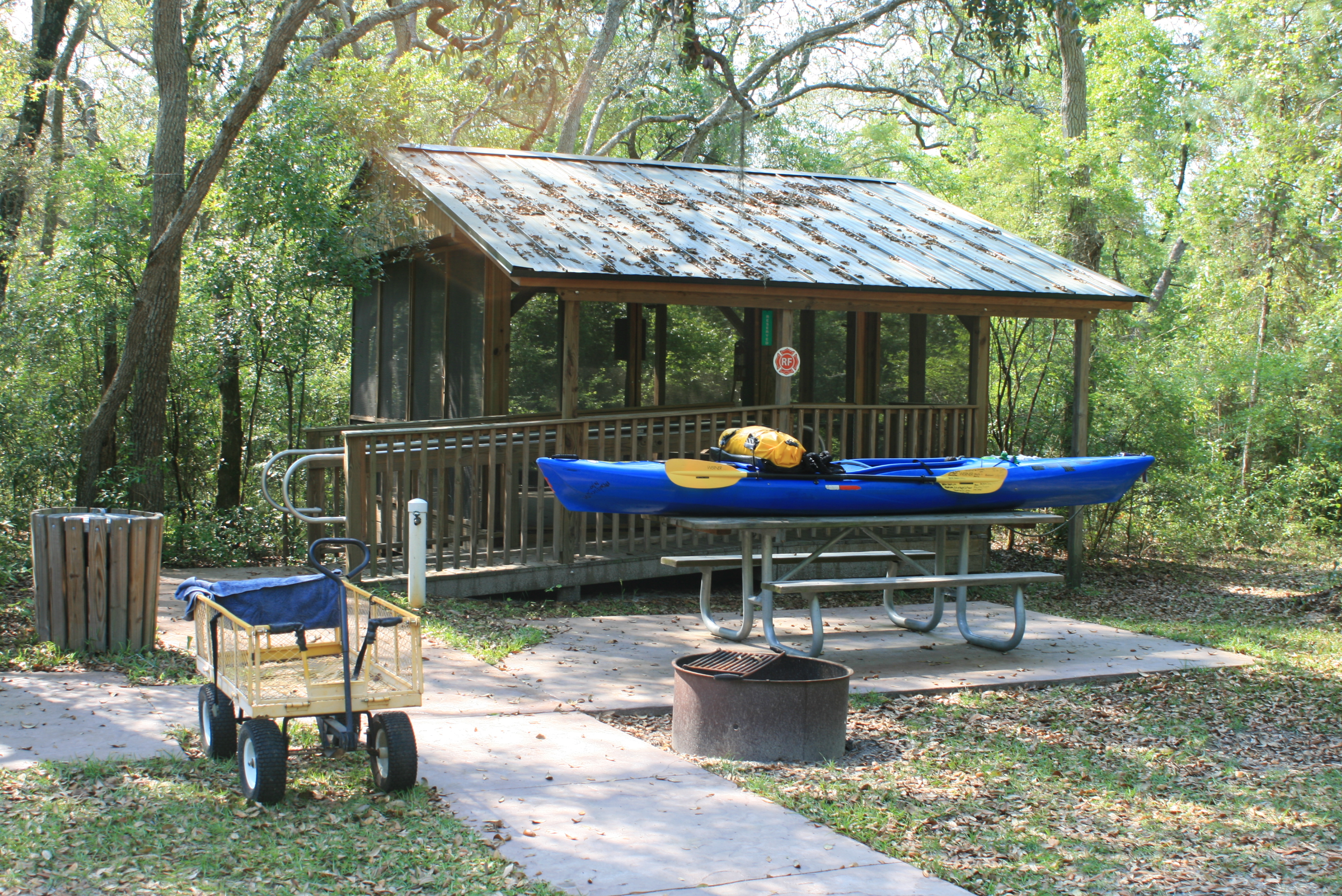
Woods Ferry River Camp
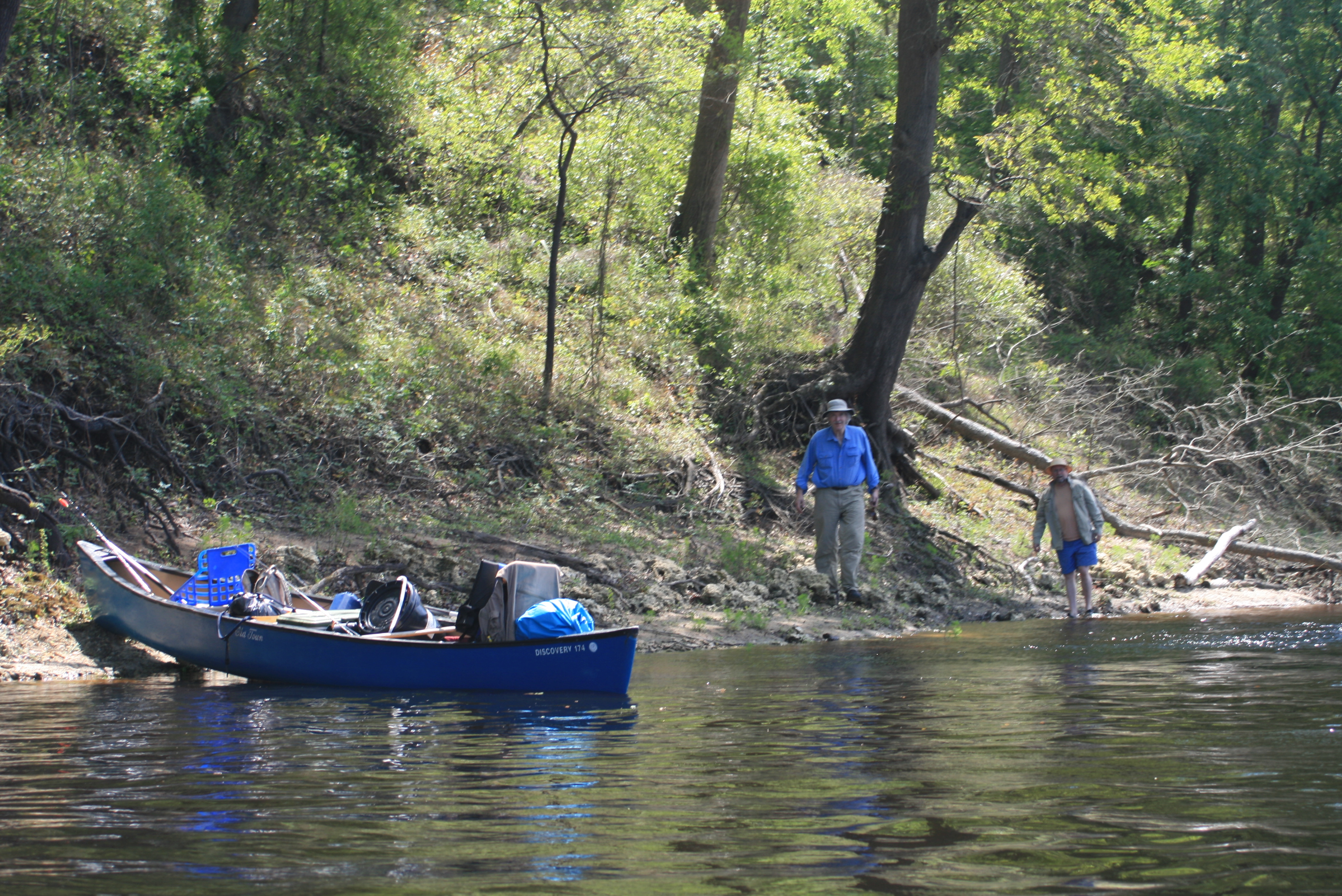
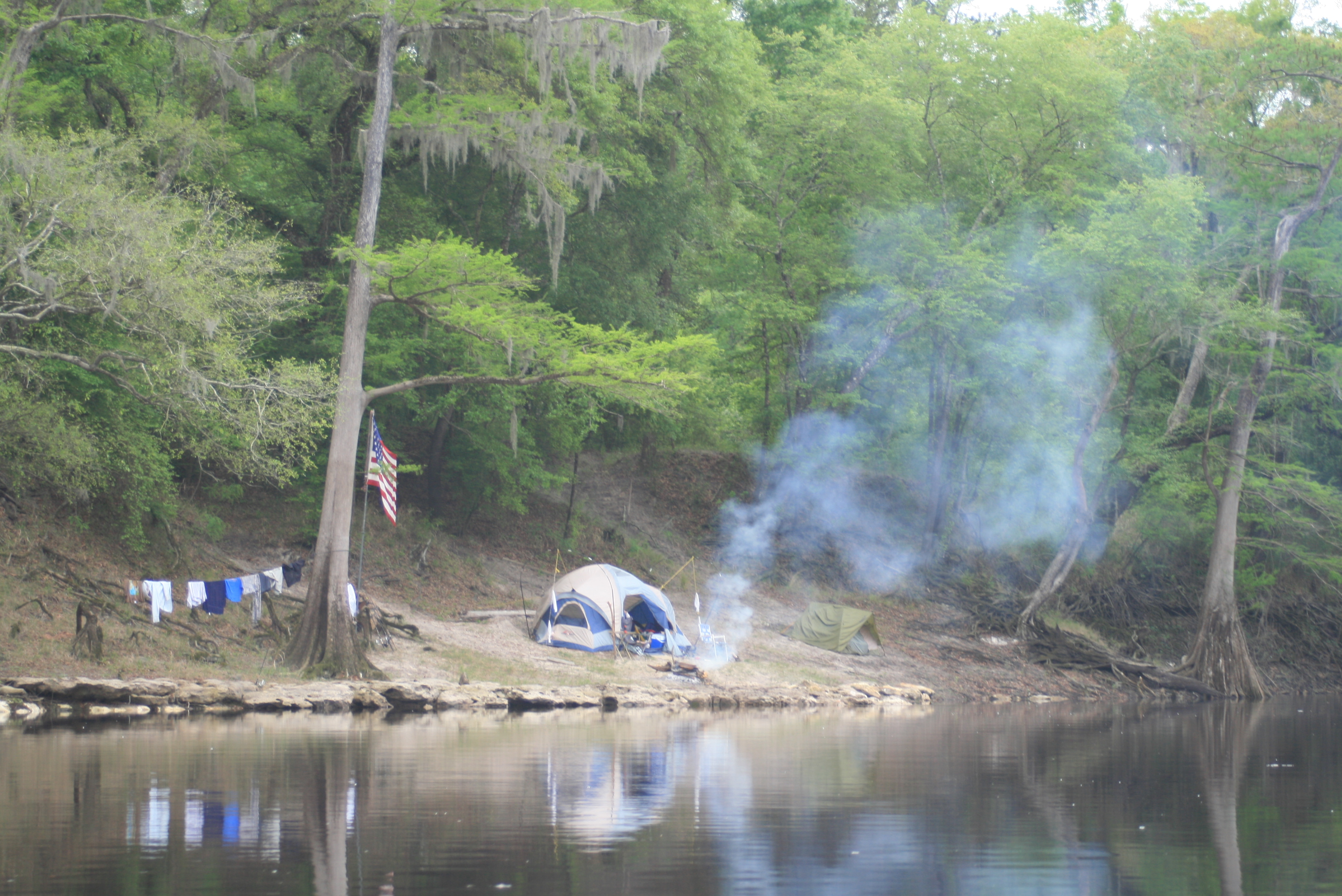
Arrived at Wood’s Ferry River Camp about 4 pm, Gordy and I were drenched, beat, hungry, tired and haggard, We hadn’t really ‘appreciated’ the section of paddling because of the rain. At Woods Ferry we shared the camp with another group half of which had put-in at Cone Bridge – the other half at hwy-41. Already there, this ‘social-group’ was doing about ten-miles a day – interesting too because one of the paddlers was a 84-y/o right out there with everyone else.
These ‘river-camp’ stops (at the moment there are 5 of them operating) have showers, are available through reservations (if full, primitive camping is possible) and are FREE. They are only available to paddlers and hikers, awesome – there’s no reason not to go explore some or all of the Suwannee – however you choose.
Each river-camp has a volunteer host, ‘Frank’ was the host of this camp, he lives to take care of the place and simply makes all feel at home – there’s no bother, few ‘rules,’ just clean up after yourself and respect others (note Jim).
The group had arrived in canoe’s from the hwy-41 bridge at White Springs, their full blown ‘social’ dinner smelled really good but after a long-hard 21 miles of paddlin, portage, and the hardest rain –
a hot-shower and dry clothes did me in – I was ‘down’ with the sun, zzzzz.
.
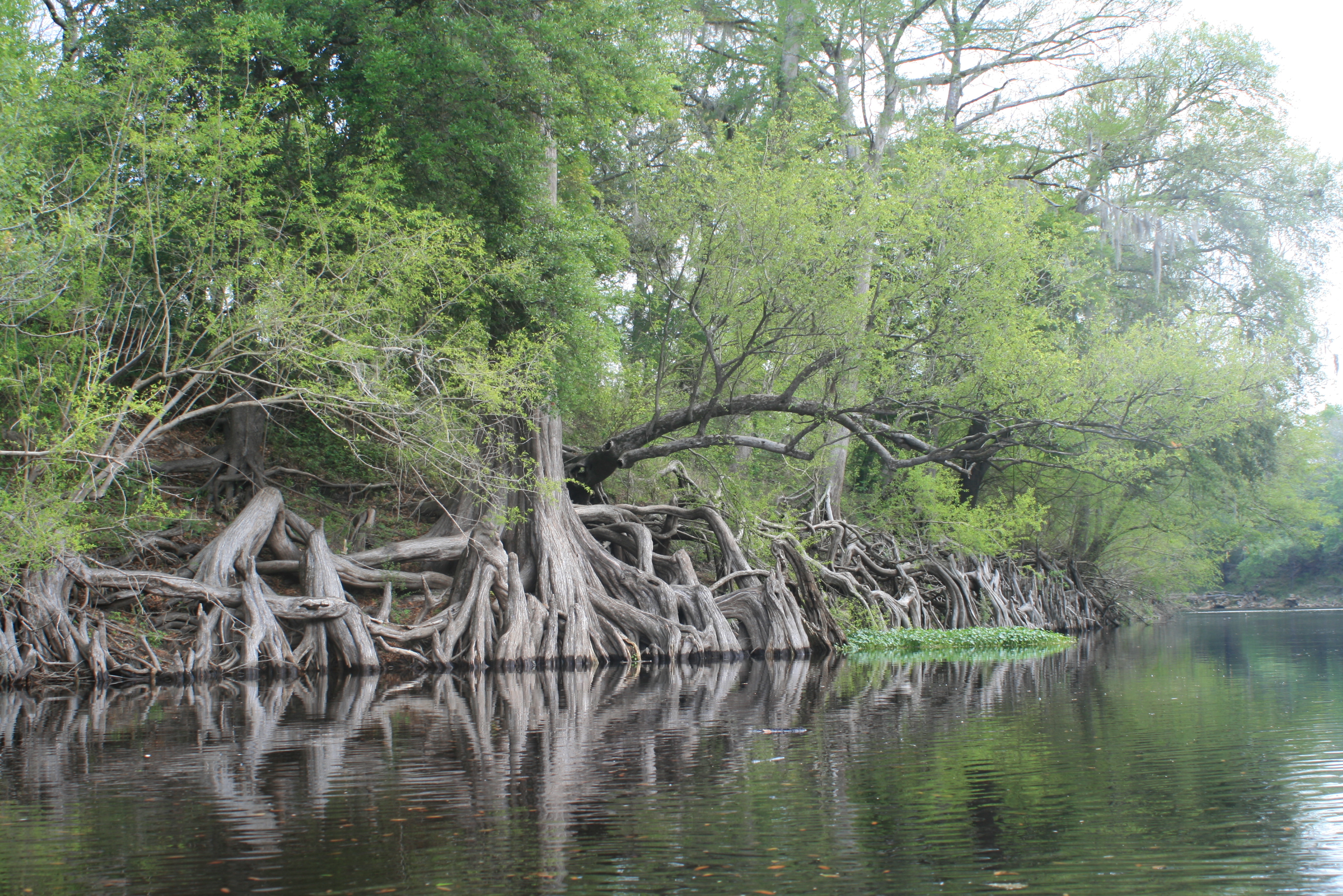
Later trip through the shoals – Topside of the Suwannee
.
Facebook Post; “Fla/Ga Line to Woods Ferry River Camp – 2 days, 52 miles – Rode the Big Shoals rapids above White Springs – passed under hwy 41 and I-75. Lots of character in this part of the river, and lots of rain today – each day overcast but today RAIN. paddle. alls just fine, – ‘feet-up.'”
.
The next day (Sun), to near Gibson Park;
- Days 4 and 5 – Woods Ferry to riverside camp (136rm) to Dowling Park River Camp (113 rm)
.
note: even though mentioned and shown on available maps – there are NO physical ‘river-mile’ indicators along the river. For further Suwannee River mileage information, check this link – Suwannee River Mileage, Trip Agenda ideas.
Opinion; Marking existing landmarks such as bridges, ramps, and river camps with a numerical reference would provide basic orientation points (and emergency references) along the river (the Mississippi has them).