– post 5 of 8 –
A RIVER OF TIME
10 Days on the Suwannee River, Georgia to the Gulf of Mexico – 225 miles
Day 7, Adams Tract River Camp (85 rm) to riverside camp near Gornto Springs (59 rm)

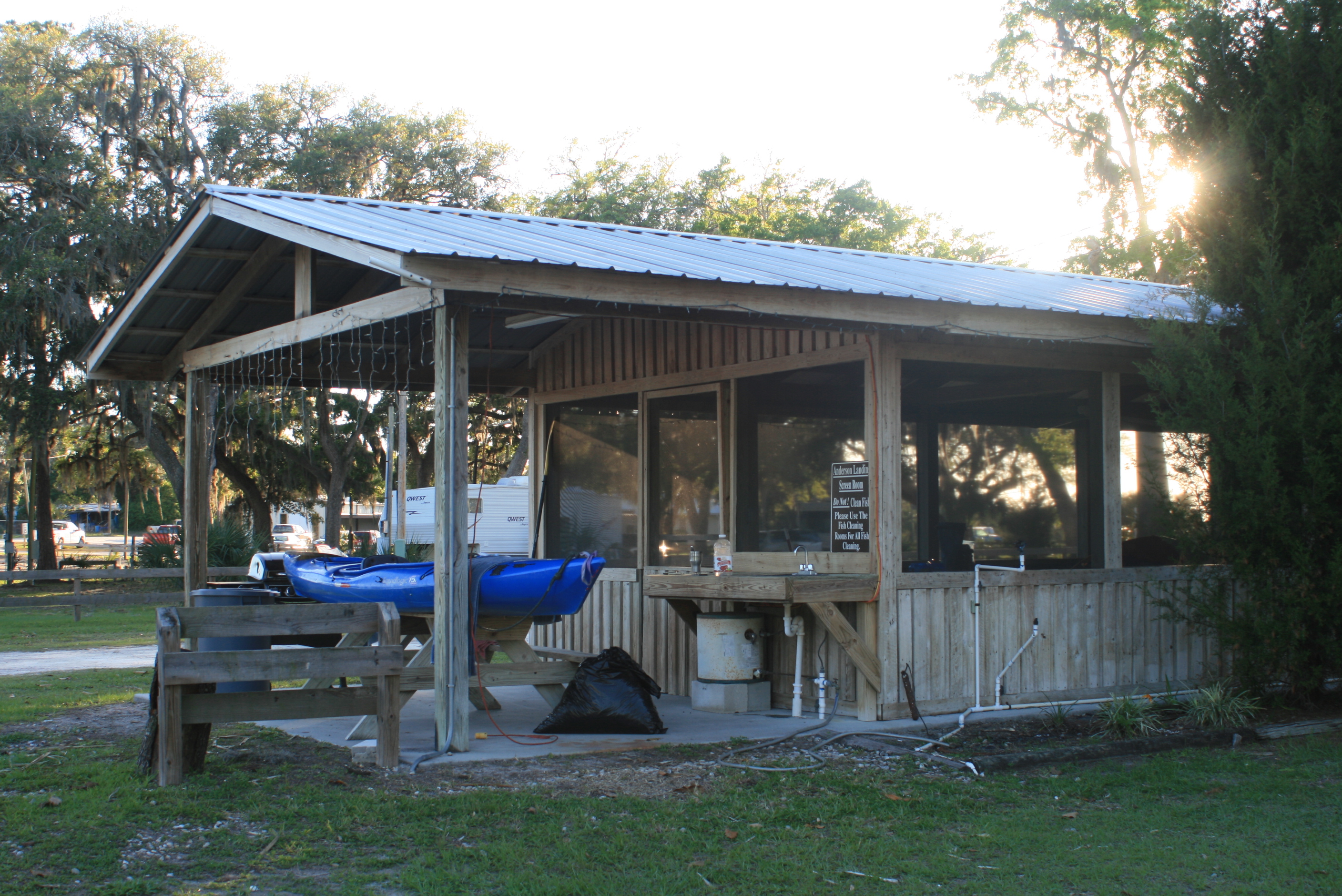
Adams Tract River Camp
After paddlin a full day it was a small chore getting traveller up the steep stairs at Adams Tract last evening. Within it all I pondered how anyone could ever complain? everything about the ‘camps’ along the Suwannee is perfect, – the showers, screened rooms, a pavilion, – awesome places. My humble ‘base-line’ is being mentally prepared for less than level settings’ along the river (sliding into the bottom corner of the tent situations), what I find is managed, friendly, and level. So without hesitation I appreciatively pulled traveller up the many steps to the river-camp. Once on the flat walk I located one of their handy carts and rolled everything right on up to the camp site.
It was was probably one of the better stops because I didn’t have to unload a thing – just wheeled ‘er right up to the picknick table in from of the cabin and worked from it like a suitcase (leaving the cart open for others) – later trip.

This morning the ‘going down’ was much easier.
.
GOOD JOB RIVER CAMP FOLKS!(thanks for making it possible)


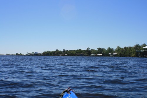
I slept well and was once again on the river by 815 – enveloped within the peaceful moments of the morning.
 .
.
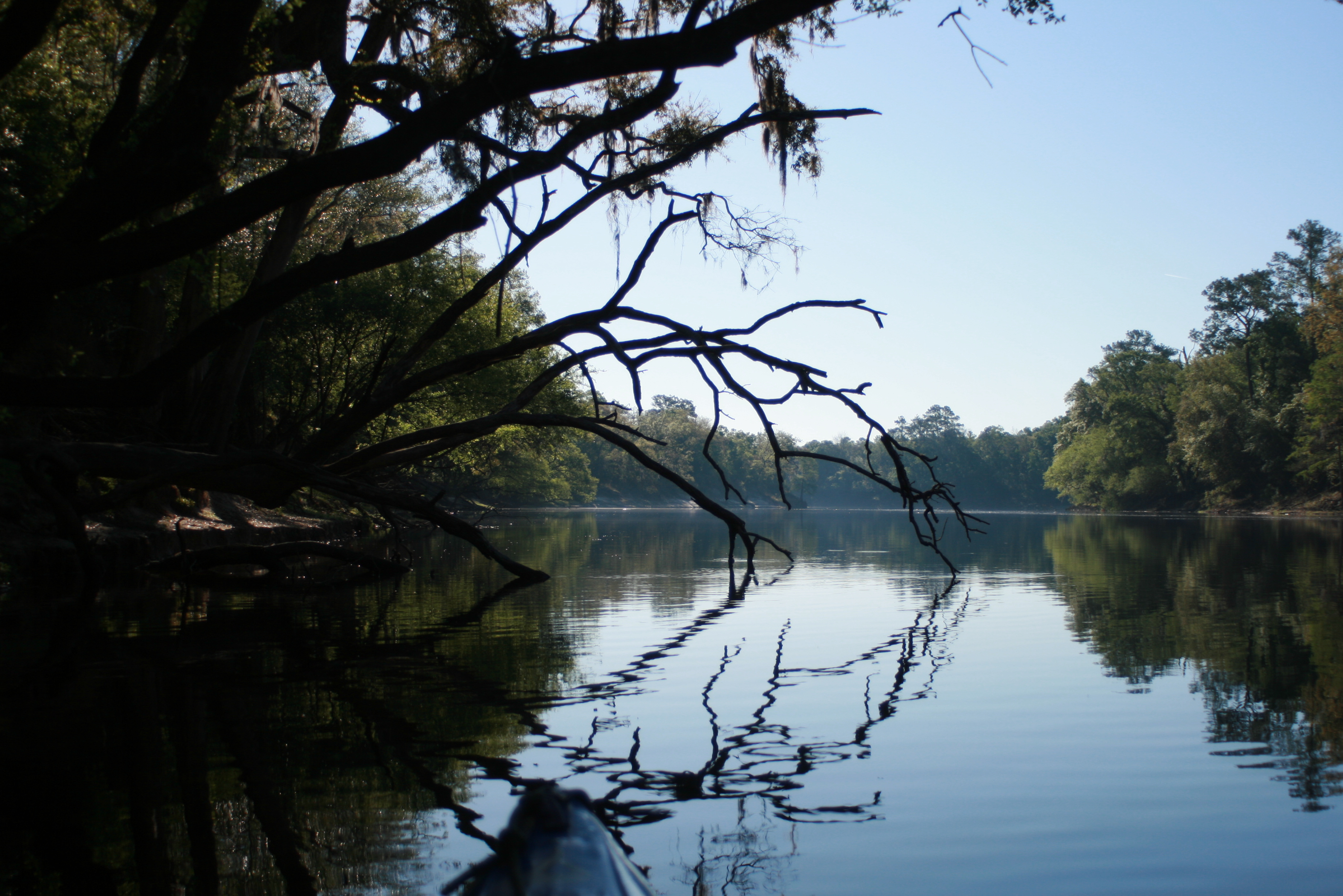
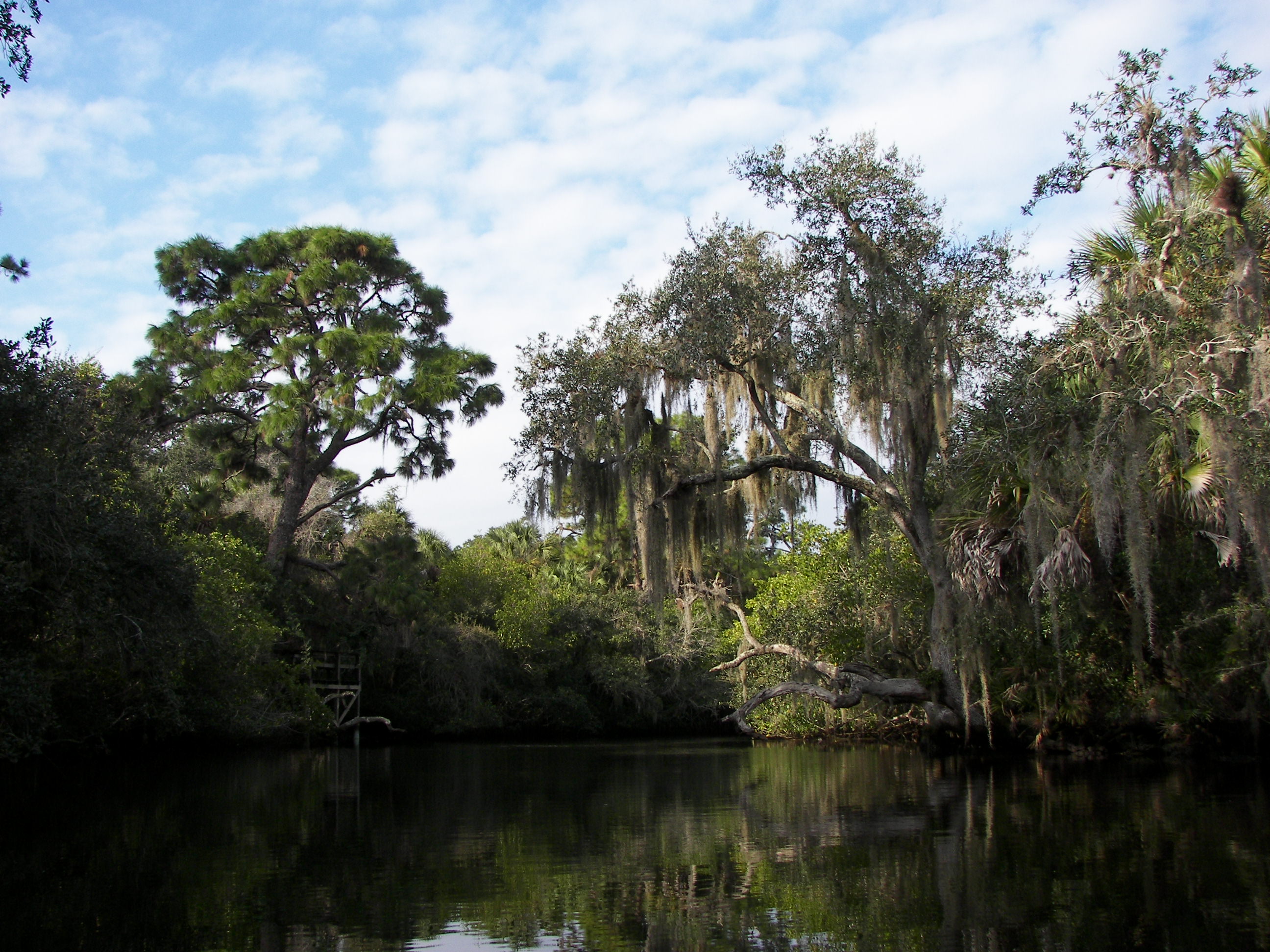
Serenity now.
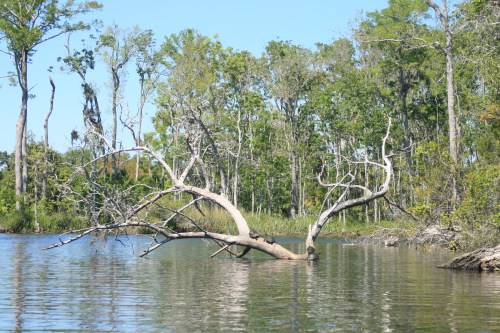
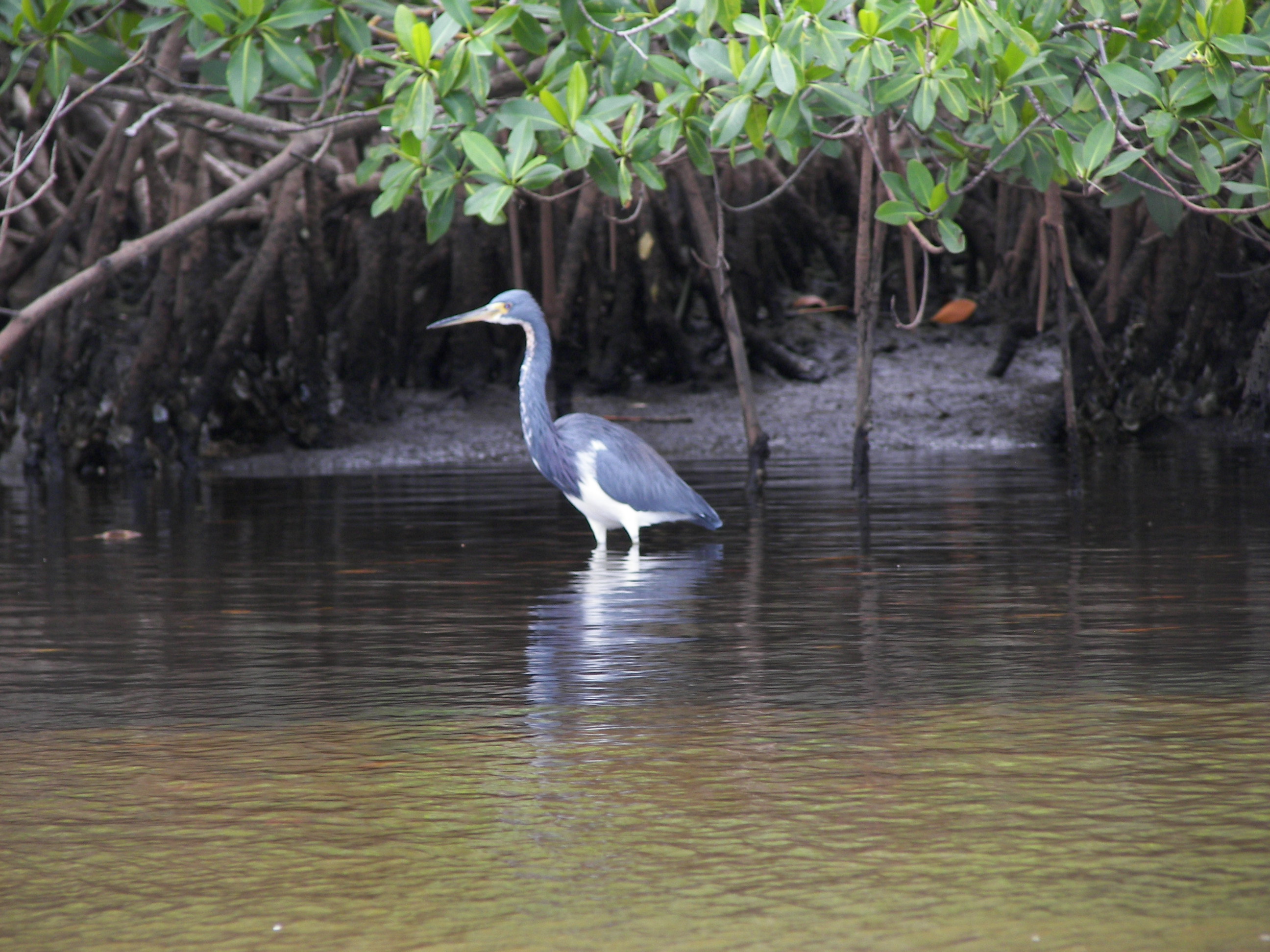
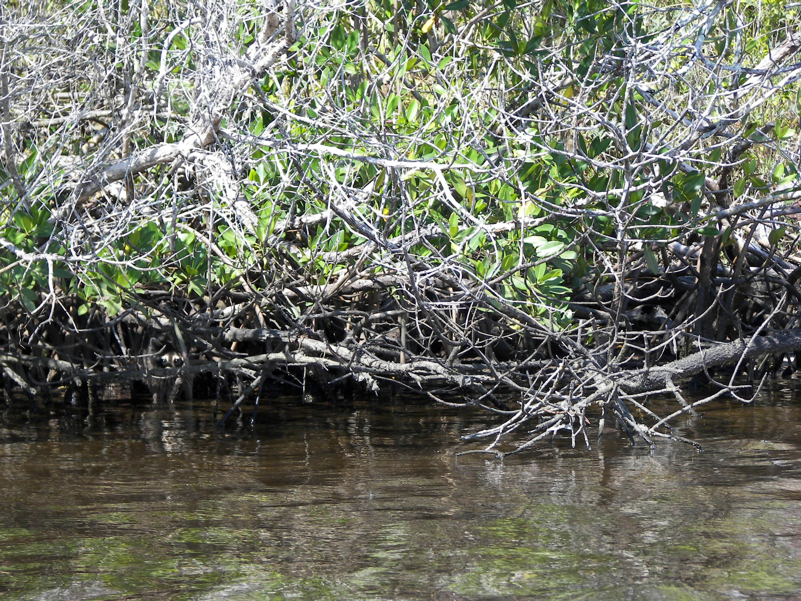
Sitting on traveller I sensed the magnitude of how nice this setting was; it was so dominated by ‘peace’ that any ‘man-made’ sounds were quickly muffled within the morning’s overwhelming calmness. I noticed too that the only ripples in the water were from the branches of old trees either protruding from or sticking into the water, – at the time there was no noticeable wind.
It was kinda like completely relaxing in a bathtub (for those old enough to remember) and recognizing that the only movement within the water – was from the sole act of breathing.
This morning I was riding the Suwannee river’s ‘stillness,’ it’s breath – the moments we reach for. It was a mellow Suwannee current; and I was indeed…..

Little River Springs

Noticing even more springs along the way I paddled into The Little River springs. There were some divers preparing to enter the spring – ‘Eric’ (one of the divers) mentioned that these springs were more than 100′ feet in depth – being a certified diver myself we talked a little about diving and the intricacies of ‘cave-diving’ – I’m guessing that cave-divers just have larger gonads….
 So Eric grabbed my camera and took a shot of me while passing (thanks)
(Little River water level, Day 4 – April 2012)


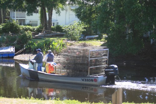
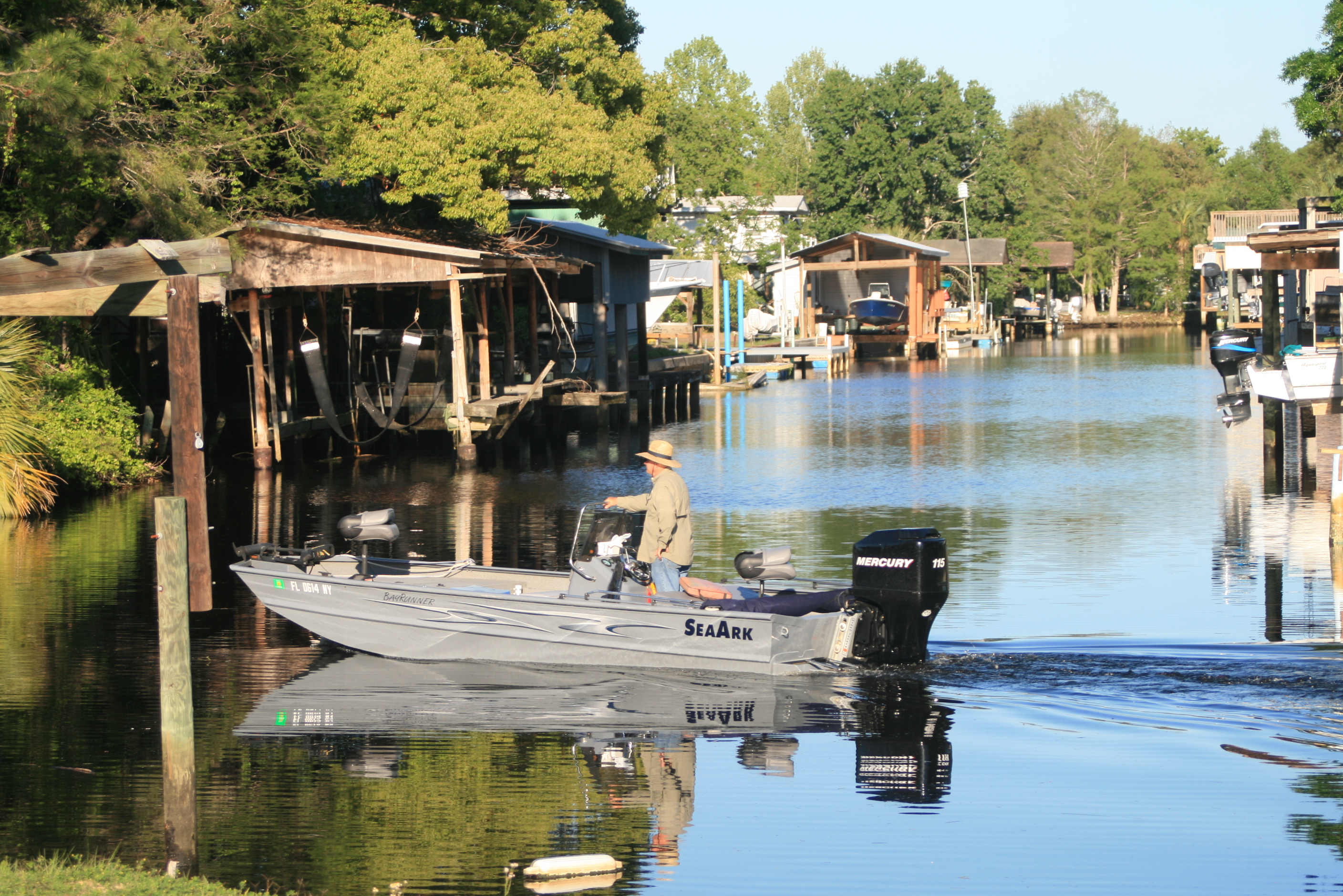
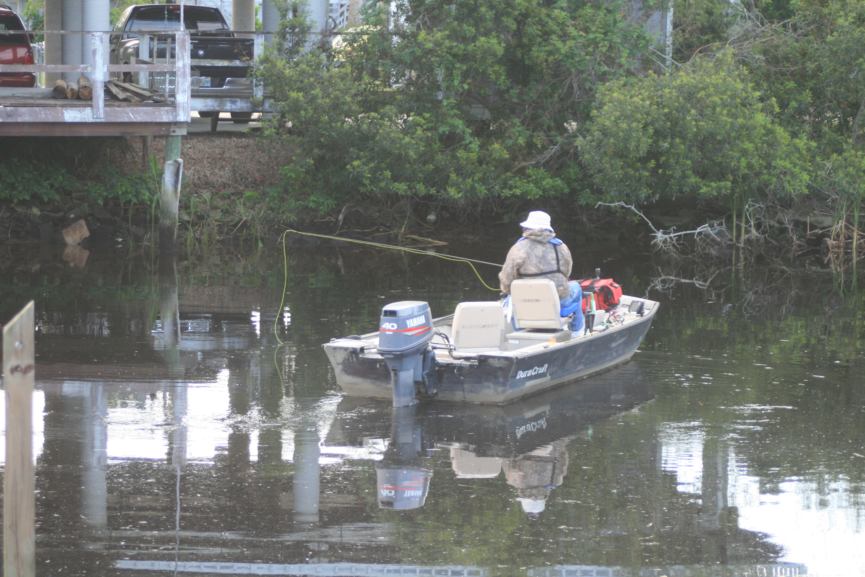
Paddling the shoreline there are the occasional fishermen, this fellow had a restored wooden boat that looked really neat – it was the best picture I could get because I didn’t want to intrude on his fishing – I saw numerous fishermen along the Suwannee.


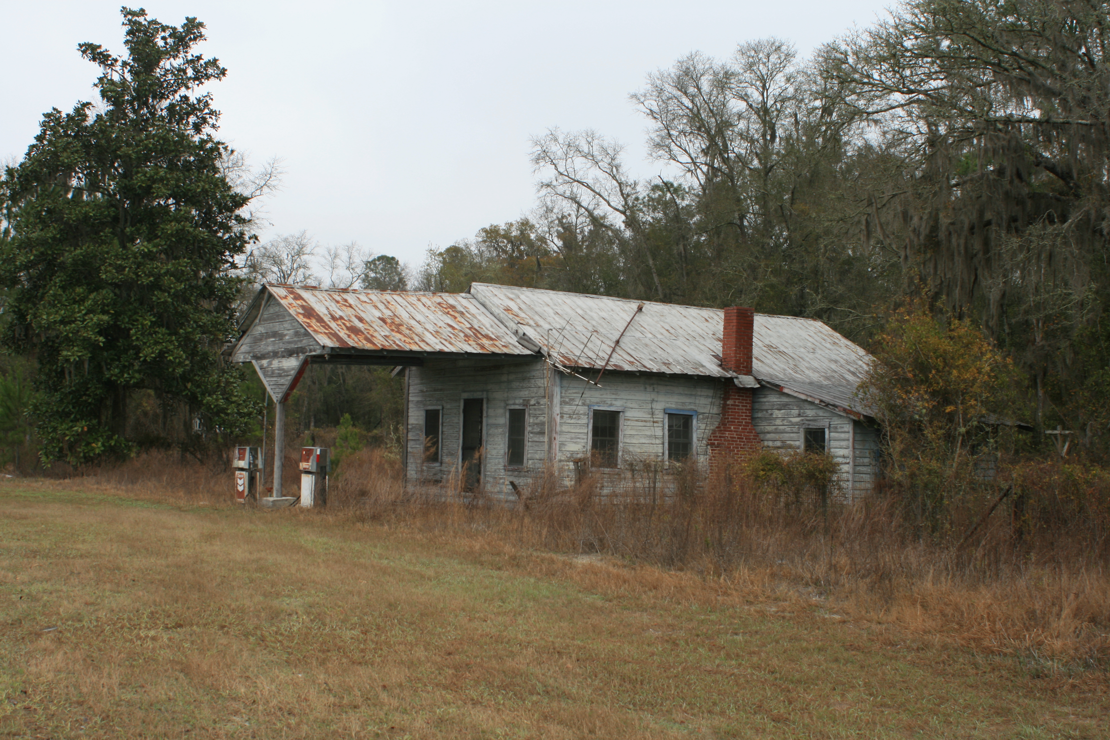
Branford
Just before the Bridge at Branford I noticed the old train depot through the trees with a clear bank leading to it, – it was a simple pull-out and a clean walk up to the depot. It was high noon and just a building away – ‘Sisters’ restaurant and their ‘ballast-buffet,’ fried chicken, greenage, vegetables, and all that good stuff – lead, ballast! (cash only).

Ivey Springs
I ate well to say the least – then waddled back down to the kayak and shoved out. Immediately after the bridge is Ivey springs/park, so I paddled through it too as local kids played in the water.

Returning to the river there was our wooden boat fisherman again, he asked me to tell his Mom “hello’ when I made it to rivers end – she lived at the end of the river in the town of Suwannee, on the Gulf.


 ‘feet-up’ Sunday afternoon
 I made several stops just to enjoy the shade.
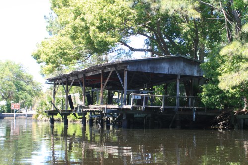
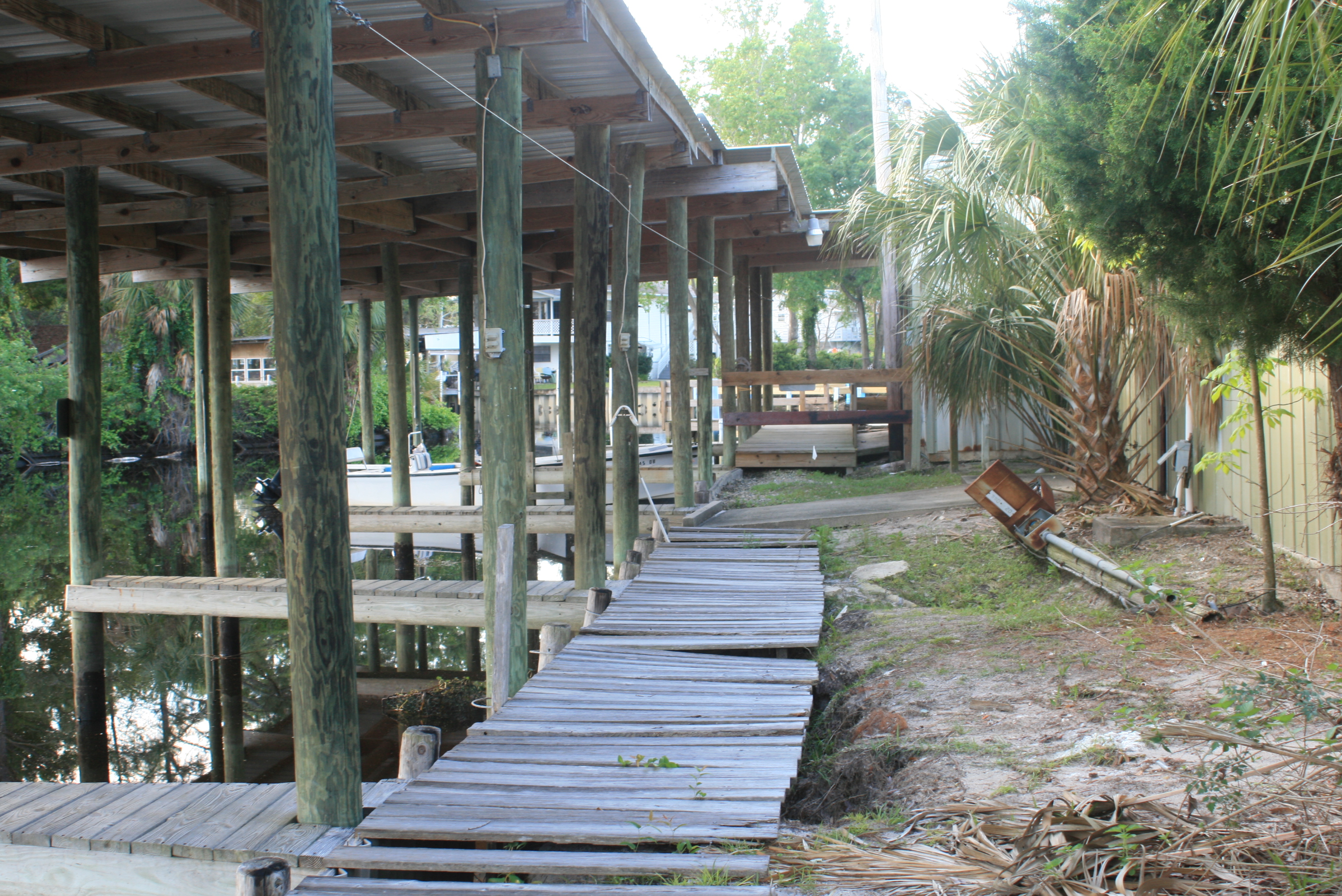
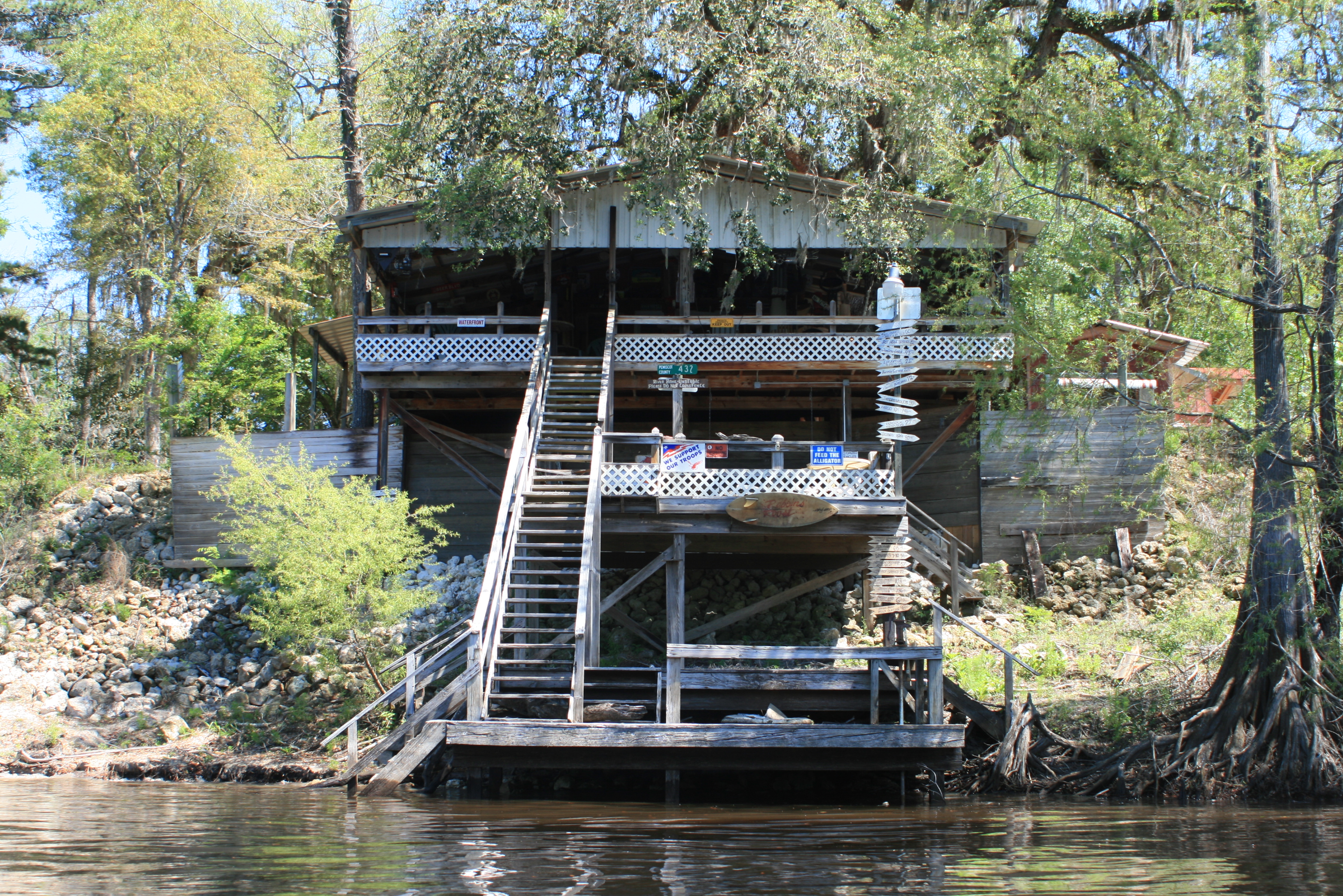 I like unique dock-art too, this place I almost thought could be open for business – but it wasn’t. I think along the entire river I only saw two places that might have been businesses. There were several occasions that I thought living along the Suwannee would be a great – a little further and you even have access to the Gulf.

It was a beautiful sunny Sunday afternoon on the Suwannee and the boat activity picked up quite between Branford and the Santa Fe. Of course there were several ‘young bucks’ with their 250-‘kickers’ running the river too, they blasted-by me shooting a rooster tail so high in the air that when it landed it was just mist, no big deal – they were also running so fast that their boat hardly left a wake.
All along the Suwannee I found that boaters for the most part, showed high regard to paddlers by slowing down – I understand too and this is a weekend – have a great time I will deal with the waves, but! – leave me my ‘peace’ during the week or I’ll bitch.
As for any issues – I have none, Branford’s ballast buffet kept traveller’s bottom side down.

Now – the worst thing about this day was I that lost the @ pictures from the rest of the afternoon. It was a period that I visited the junction of the Santa Fe rivers, an especially busy intersection of sand, bathing-suits, and Sunday-afternoon congregations. Certainly I stopped and took a walk while finishing my own special drink combination (w/a), before moving on down the Suwannee, – ‘just a part of it.’
It’s not at all unusual on weekends to find the confluence of the Santa Fe river packed with partakers and party boats. If you have time there is a camping/land-food/bar a mile up river – Ellie Rays. On a weekday it might just be worth the short paddle.
At the right water level the difference in with the water clarity of the Sante Fe can be stark – and inviting, jump in.
It’s 10 miles to the 340-bridge from the Sante Fe. Later, I came upon some large vessels (the Mona twins) docked riverside and had taken some (I thought) pretty neat pictures, but due to my own stupidity (and maybe a little of that drink concoction), no picts.
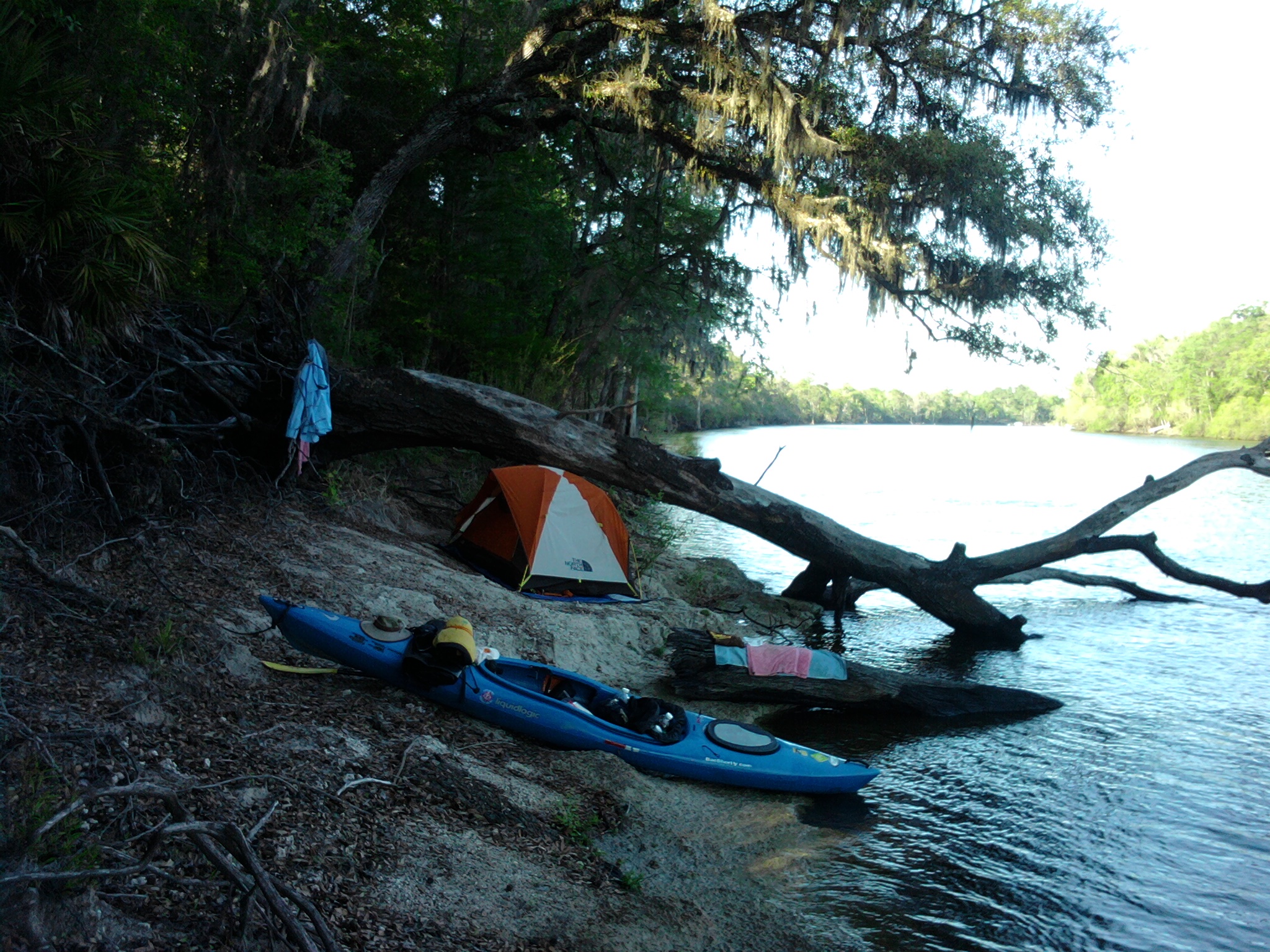
‘Riverside camp’ on this night, just a few miles further (hwy 340 bridge) would have provided a much better setting with land-food available at the Rocky-Bluff store (above the bridge landing) – learning process.
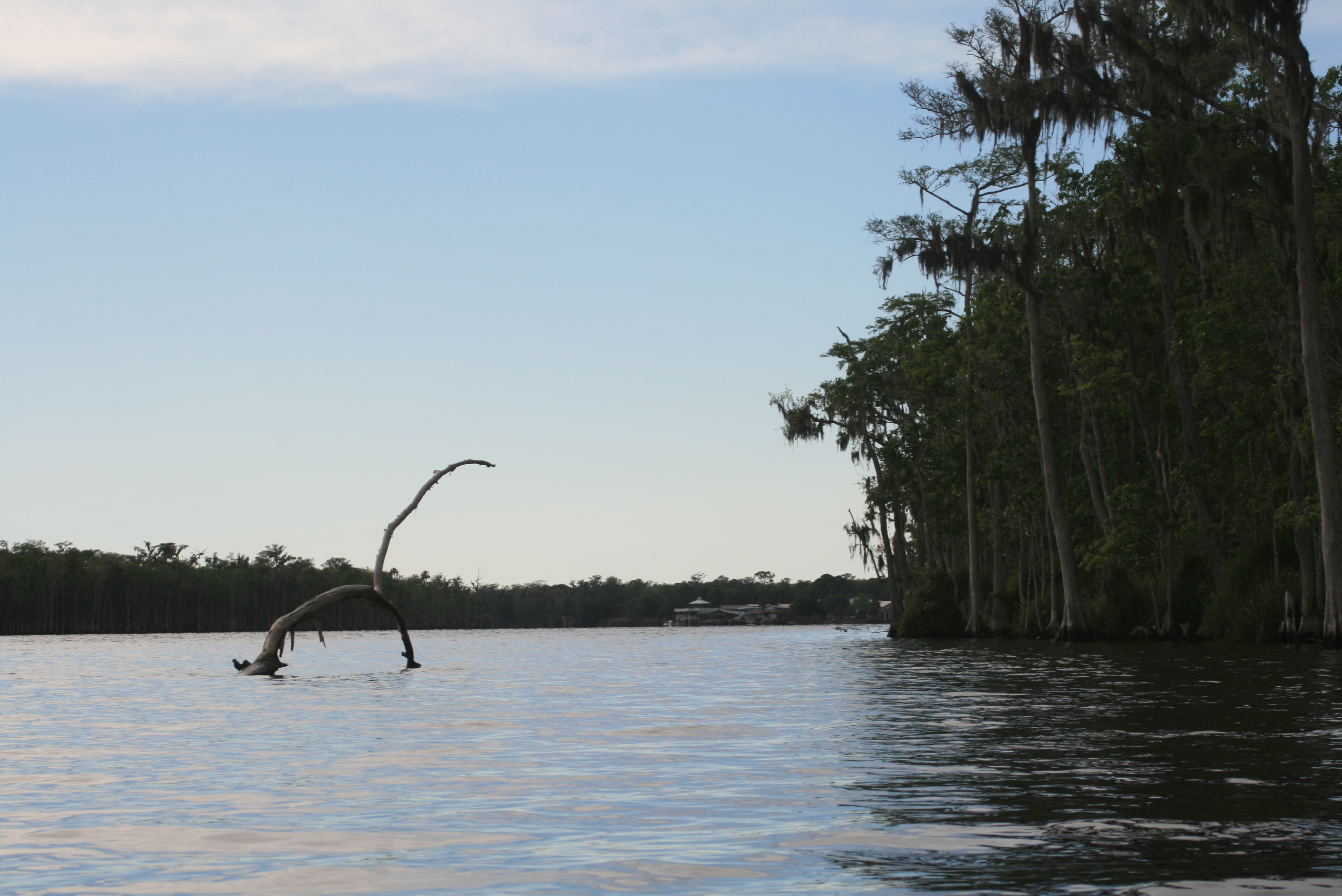
My thoughts for this day were that after paddling through all that peace of the early morning, the afternoon brought a ‘lightning storm of people,’ folks out in their machines enjoying the weekend – after the Santa Fe the storm died down and the Suwannee became naturally wild and quiet once again – the moments we seek..
(more pictures from this date)
Facebook post; “Sisters” lunch in Branford, ‘ballast buffet’ – needed it, beautiful Sunday with all out on water, especially at the Santa Fe junction, 27 miles – should make Fanning Springs tomorrow and paddle some more springs riverside – this is a nice river. @160 miles behind, ‘feet-up’ pace”
.
Next day, to Fanning Springs;
- Day 8 – to Fanning Springs (34 rm)
.
note: even though mentioned and shown on available maps – there are NO physical ‘river-mile’ indicators along the river. For further Suwannee River mileage information, check this link – Suwannee River Mileage, Trip Agenda ideas.
Opinion; Marking existing landmarks such as bridges, ramps, and river camps with a numerical reference would provide basic orientation points (and emergency references) along the river (the Mississippi has them).


