Home

Lake Tahoe (Emerald Bay)

4 Comments

Emerald Bay at Lake Tahoe

Water Clarity – 10+

Natural Quality – 9

Perception – Weekday, Fall

Fishing

Emerald Bay

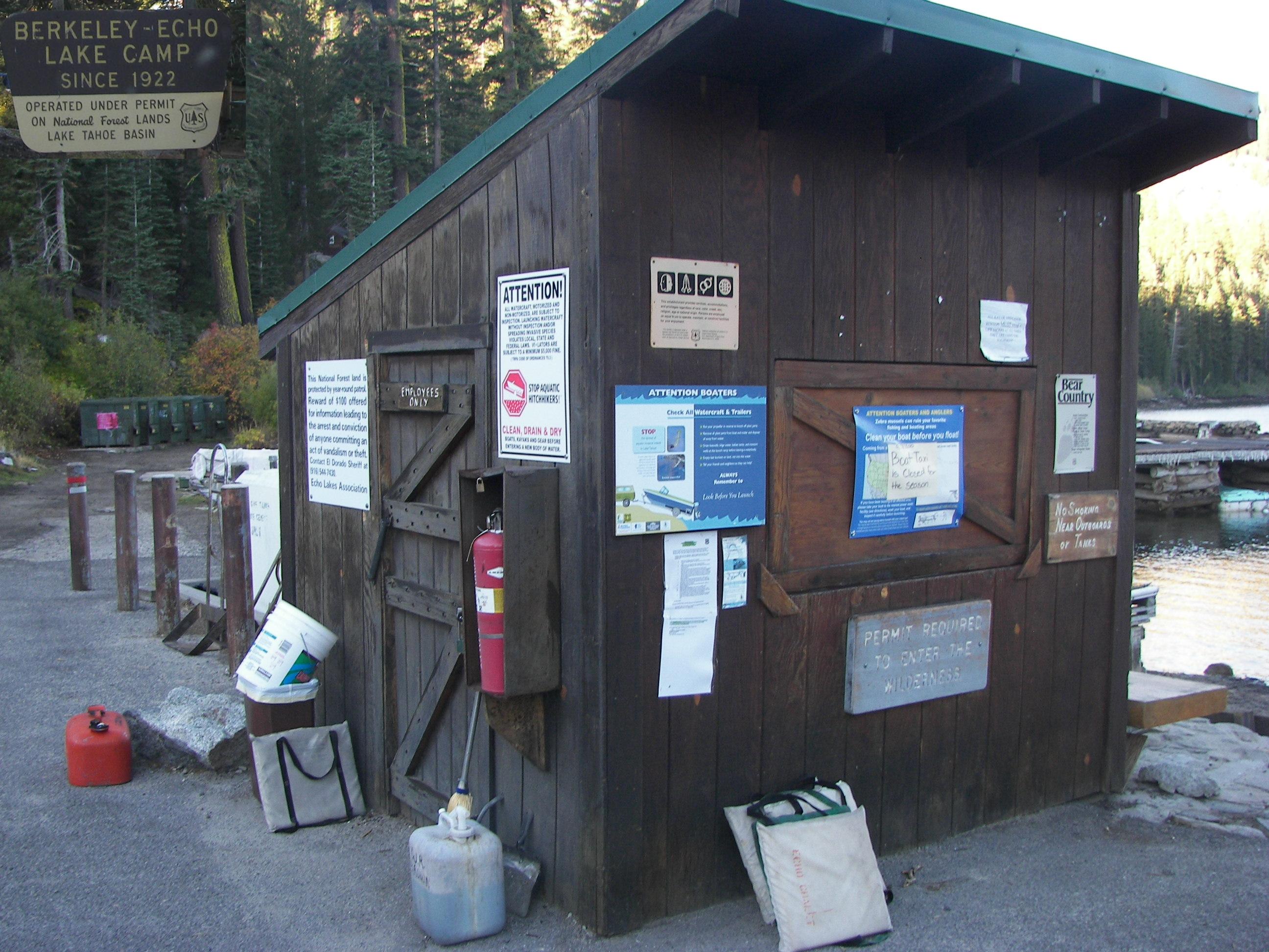
From South Lake Tahoe it was about a 15 mile drive up Hwy 89 past Emerald Bay to D.L Bliss State Park and my planned ‘put-in,’ in research I understood that the cliffs were too steep at Emerald Bay to haul a kayak in/out so with the information that I had  – Bliss State Park was the best place starting point.  I also knew that it was likely closed for camping (mid-September), but what I did not expect were the gates to be locked (“available for ‘day use’ only”) – the next open park was 7 miles further up the shore.

I really didn’t care to go further and even considered taking a walk to see how far it was to the beach (glad I didn’t) – truthfully this was a big one on my ‘list’ and I had come so far – Emerald Bay.  Seeing the locked gate did not deter me in the least, plus the weather forecast was perfect for the day – sunny, mid-seventies, with little breeze (rare for Tahoe) – I would not be denied.

I happened to have thrown the kayak ‘dollie’ in from the ‘chuck-wagon‘ before leaving Colorado, so I dug it out of the truck and strapped traveller on; loaded my lunch and variables; and then headed down the paved park road.  It turned out to be a couple mile walk, no big deal – good that I had started the day early.

one foot in front of the other, I wondered – is pushing easier than pulling?

But there was plenty of time for thought during the long walk (mostly downhill) to Rubicon Beach, the park of course was vacated – which was nice, pulling it through the sand at the beach was a small chore.

I had made it! again this was BIG on my list and as a couple of ladies (Jennifer, Linda) walking down the shore talked a moment and then they snapped a quick picture of the ‘traveller.’

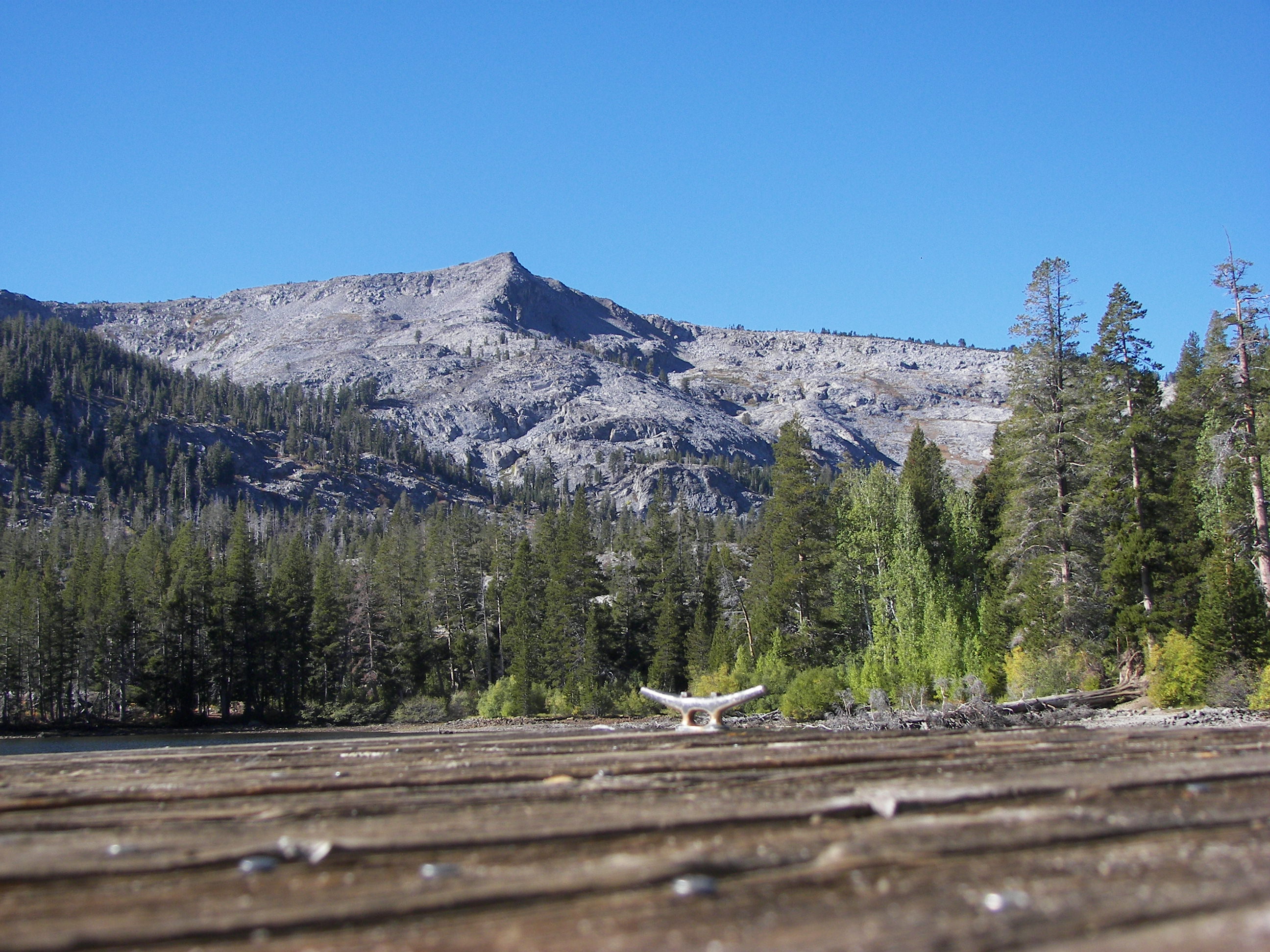
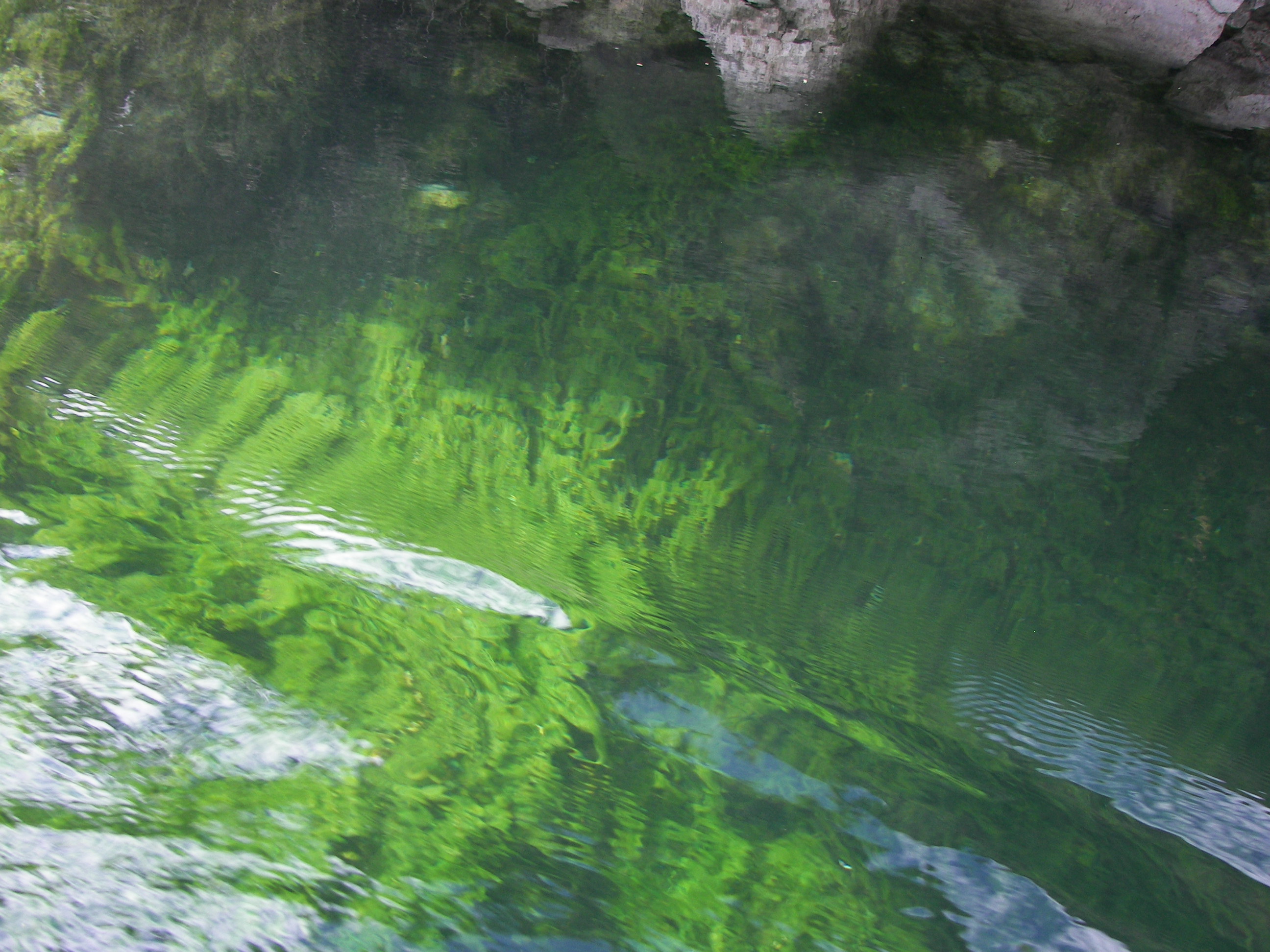
The shoreline was incredible and the water was simply awesome – easily a 10 hands-down, you could see ‘clean through it,’ at least 30 to 50 feet visibility which kept me looking into the water as much as at the scenery throughout the day (fact; Tahoe is so clear that in some places objects can be seen clearly sixty-seven feet below the surface, USDA).

I couldn’t take many pictures because I was headed directly into the sun – but did notice one of the Hot-air balloons working in the distance over the lake (rent-a-ride I’m sure) taking off and landing from a large flat-topped boat.  The paddle to the mouth of Emerald Bay from Bliss State Park Beach took a little over an hour.

Of course what really stood-out in the bay was the island (Fannette Island) and what appeared to be a ‘little-castle’ on top.  I had noticed it from the road earlier and it quickly became an objective of the day.

In later research I found that Fannette Island was the only island on Lake Tahoe, it is accessible to paddlers part of the year but a bird ‘nesting area’ for the rest.

As I walked the primitive steps of the island I met ‘Rob’ from Australia – he had paddled over in his kayak (marked the ‘Old Mate’) and was sitting high on the rock ‘taking it all in’ as I entered the bay (if you ‘zoom in’ a few pictures back at the ‘island’ he is sitting in front of the little castle), Rob was now headed back to his wife whom was waiting a few miles away (without a kayak).

When I made it to the little building (The ‘Tea-House’) I understood why Rob was taking his time in leaving, amazing vantage point.

I mean is this a ‘picture window‘ or what!

– there he goes.

It was a great little-castle part of Vikingsholm –  I guessed (however wrong) that it once housed a “light” station marking Emerald Bay.  The roof is gone now but the rock-work still looks good – the view even better.

then along came another paddler,

and a boat load of ‘doggone people,’ they didn’t climb the island – just made a slow circle while the pilot talked about the history of the place. There is alot of history here like the Vikingsholm Castle, this is a quick post but I will try to add more with time.

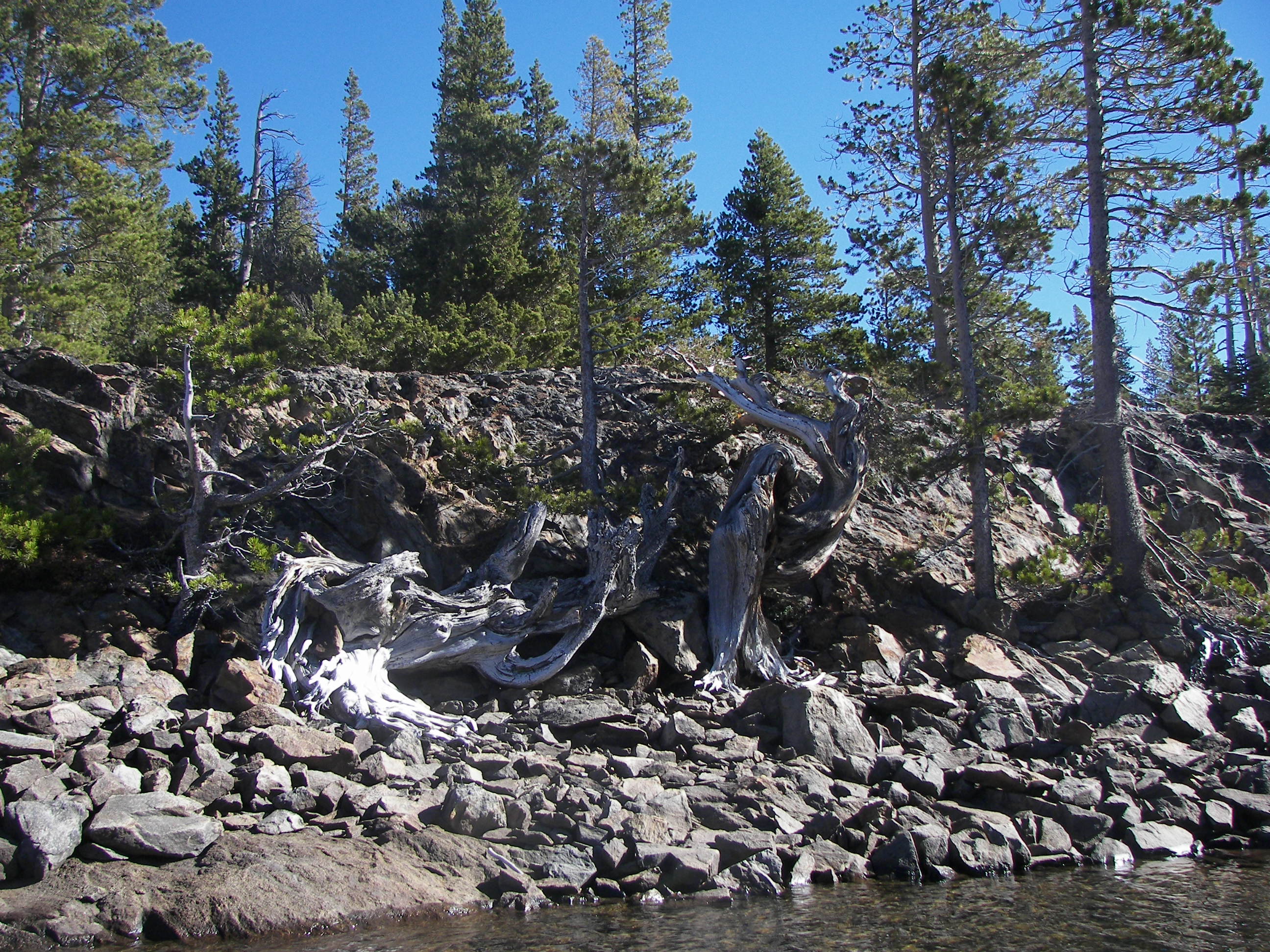
From the island I had noticed a creek entering the bay across the way so I paddled to investigate – it was a small creek running through a pretty beach – kids played in the sand.

(fact; sixty-three streams flow into Lake Tahoe….. the water never reaches the sea, USDA)

With a paddle (and a walk) ahead of me it was time to point this craft ‘out’ of this bay and head back up the coast.

The other paddler (Bill) paddled out from the island and we chatted for a short distance, he had much further to go and moved on out ahead – the second picture kinda shows the large waves from vessels that kayakers have to occasionally account for – just a part of it.

I continued my simple pace up the shoreline, even taking a moment to speak with the couple in this tandem set-up – she was out front and was quick to point out that she did not like it at all, I could sense that ‘paddles were knockin’ it’s the skill of the paddler which should determine who sits in the rear – not the gender.

A more skilled paddler in the rear adjusts to the front paddler (even asking them to rest their paddle more) without bickering.

No paddles knockin here – just smooth paddlin, bird watchin and admiring all the things under the water (which I had done the entire day). I had a small thermometer which I pulled along, 62 degrees at the surface.

(fact; Tahoe’s surface temperature can reach 68 degrees during the summer, but at 600 feet the water remains a bone-chilling 39 degrees. The warmer surface water constantly mixes with the cooler water below which prevents the lake from freezing, USDA)

Wasn’t long till I came to the beach – it could only have been nicer if I didn’t have to think of the trek back to the main gate (hwy 89), at least I had a set of wheels and my health seems fine (maybe the afternoon workouts at the FD payed off)  – at home I constantly walk a six-mile route, so that’s how I approached this challenge, only half way to go.

“strapt er up’ and put one foot in front of the other one – now for the answer of Is it easier to “push” or to “pull?”

I found that it was easier to push my kayak back up the hill rather than to pull it (I experimented with both), kinda like a wheel-barrow or powered as a rear-wheel drive vs a front-wheel drive vehicle (again plenty of time and steps to figure this one out), up hill it was easier to push the weight than to drag the load.

With some time and a number of stops I returned up through the park and to the gate where the truck was located – the walk did not ‘dampen’ my trip.  In the parking lot I slowly put my gear back in order and loaded the truck – even chatted with the mother of a Liquidlogic design team member (Kerns) from N Carolina as she walked her dogs.

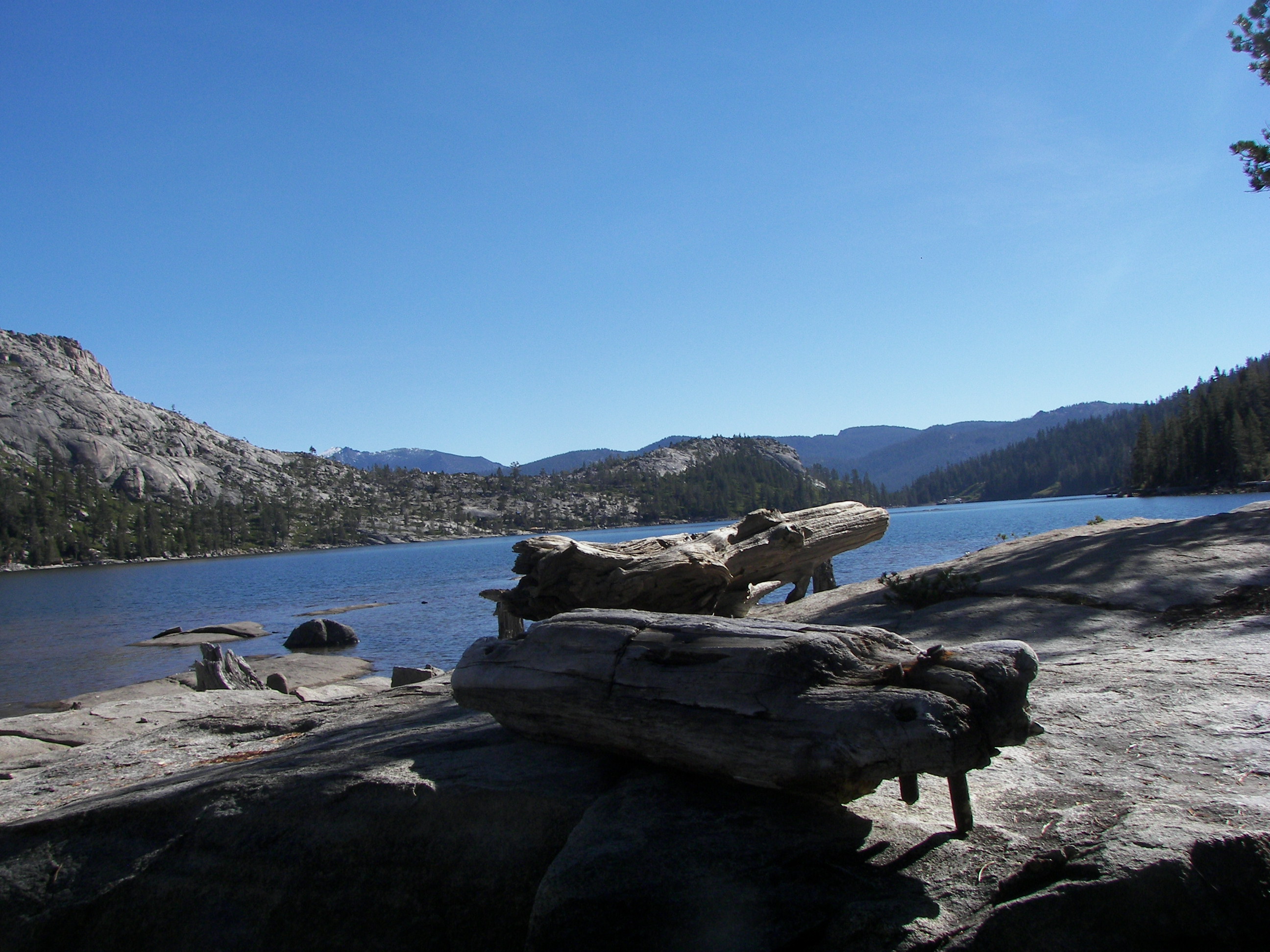
Lake Tahoe and Emerald Lake is a solid 10 in beauty

hands down.


I did take my time on the island, for a number of reasons but mostly because it was perfect – and why I came.

If you are considering paddling Lake Tahoe its beautiful, come during the season (parks are open) if you like people or on perfect days in the off season if you like less of a crowd.  Bliss State Park was about an hour paddle to Emerald Bay leaving plenty of day to explore the island or the beautiful shoreline – even with the off-season walk this paddle exceeded my expectations on the quality of Lake Tahoe, awesome place –

and perfect water clarity.

Echo Lake California (at Lake Tahoe)

2 Comments

Echo Lake, Ca. (near S Lake Tahoe)

Water Clarity – 10

Natural Quality – 9

Perception – Weekday, fall

(VGPS – 9900 Echo Lakes Rd, Echo Lake, CA)

Elevation – @ 7400′

101_1808

.

In recent conversation with a native of the Tahoe area (Alicia and Ron), Alicia helped to narrow my visit objectives to two; Echo Lake and Lake Tahoe (Emerald Bay).  Echo Lake would be a smaller paddle with a little more altitude than Tahoe.  Ron was quick to mention the ‘freshness’ of water in the lake (s) also.

Oakland (wife to airport) was behind me and it was good to make it through Sacramento before the morning traffic became a buzz.  The drive up hwy 50 began as daylight was breaking – the closer to Tahoe the nicer Hwy 50 became – lots of old stand pines in boulder-like settings.

.

It was a comfortable ride in my vehicle, but when I stepped out to check this road-art gremlin along the roadside – the ‘freshness of everything was apparent.  I had just listened to the weather report for 100 miles away – 90 degrees was the report, now my heater is on – and I see frost!….  With chacos on there was now a need for socks and my glasses (because everything looked so neat)…..

101_1834

My only objective for this date was to simply make it to South Lake Tahoe and find a place to rest-up, before finding two full days of paddlin (weather permitting) in the area..

By chance the ‘Echo Lake’ sign appeared just before Tahoe so I made the cut to take a quick look.  Highway 50 was really pretty as the sun rose, besides the old-stand pines there was a beautiful mountain stream running along side – made several stops.

101_1632

The landing at Echo Chalet was vacated with the exception of a couple dock workers, it was early October and I suppose the season was over here.  The workers gave me a quick overview of the lake and welcomed me to paddle it – so I did.

Note; an aquatic invasive species inspection is currently required of your vessel at their gate (I carry Ivory dish detergent (biodegradable )and brush ‘Traveller’ down between lakes).

101_1641

The lake was lowered for the winter and the rocky setting ‘stood-out’ for me, kinda like lake Glenville but sand was rare here, very little..  The construction methods of the pilings were unusual (more later) and then I noticed there were no roads – everything had to be ‘boated’ in – so the homes had been piece-built – I was informed that some have been here since the twenties.  The bath water comes from the lake (might see some pipes) and it seems the sewage is worked on a latrine system and/or carried out.

101_1661

As the workers made their way to a dock bringing more building supplies in, I stopped to chat – I think it was a about the type of wood they used (I saw cedar for a dock, and fur – where I am used to seeing more treated yellow pine).

They also mentioned there was another part to the lake but with the water down I might have to pull the kayak through – I was half way around the lake by that time so ‘more-lake’ sounded good.

101_1663

not too bad a portage even though my feet were numb from the frigid water.

.

Upper Echo Lake was even more ‘peaceful.’ The boat in the picture was coming to pick up the parts from the first boat – to shuttle them further, the only two on the lake.  Being here in the off season seems to work well for a paddler, I could imagine the busier traffic and ‘oscillating waves during the summer being more bothersome.  The lake today was really placid and easy to understand how (specially at this time of year) it got it’s name.

101_1689.

There were numerous islands on this other portion of the lake too, stand-out rock.

101_1702

and at the very end of the second lake I found the Lake Aloah trailhead for Desolation Wilderness – I guess alot of folks hike this trail and then some call for a boat-taxi to return across the lake and the rest of the way out (taxi closed for the winter).

101_1708

101_1722

101_1728

Of course there were plenty of other things to look at too, houses built on rock islands, old weathered tree trunks, and rocks in the clear water.  While paddling the shoreline I had only found two small streams feeding the lake, later through conversation I learned that the lakes volume is supported mainly from the snow melt of winter.

From a wildlife standpoint I noticed a hawk; other than that it seemed void of wildlife, likely due to the time of year.  I did expect to notice more fish in the clear water – but didn’t.

.

But again the shoreline continued to amuse.

101_1747

.

Then the short portage and back into the main portion of the lake – with the two sections I paddled the complete shoreline in a large ‘figure-8’ which seemed to work with the morning sun and breeze.

101_1771

.

The best word that I could think of for the docks and homes attached to the rocks was ‘improv,’ and in many places the cribbing filled with rock seemed to work well in stabilizing the structures.

101_1821

.

These were the pilings at the landing, plenty stable.  I find that each lake has it’s own unique characteristic’s – I think the rocks, the isolation, and the manner in which this lake has utilized simple ingenuity to enjoy it’s beauty – marks this lakes sound character.

.

After a week ‘off of the water’ this simple paddle was just what I needed to help ‘acclimate’ me for Emerald Bay.  A person could easily spend six hours or more exploring Echo Lake, I had spent about five – leaving the next day for Emerald Bay and a day ahead of schedule.

As far as season, I do like the off season for it’s ‘peace’ and quiet – less doggone people.  Echo Lake is an easy lake to paddle and a nice place to spend some time – its pretty and unique in its own way – but come prepared to dress warm, even in the summer – the water is fresh!!..

“Hello out there”  “Hello out there

The Colorado River (below Hoover Dam)

1 Comment

The Colorado River, from Hoover Dam to Willow Beach

Water Clarity – 10 (‘purity’ would be less)

Natural Quality – 10 (even with the traffic)

101_1110

The Colorado River at mm 60

.

Nevada, and Las Vegas more specifically were obstacles that had to be put behind – a single ride down ‘the strip’ was good enough for me.  As I rode through town the sheer number and movement of folks reminded me of stepping on ant-beds as a kid – those doggone ants would swarm like crazy….  The sidewalks of the ‘strip’ were swarming with people – just like those ants!

Not knowing any better, my objective was to ‘ride’ the Colorado River from Hoover Dam to Willow Beach (above ‘Lake Mojave’), like Tahoe and the Labyrinth canyon; this was one of those things that was rattling in my ‘head.’  I had called ahead to Boulder City for some preliminary information on a shuttle (getting dropped off at the dam) and having my vehicle taken to Willow Beach (the normal ‘take-out’ point for the excursion) – just takes $$.

Then to find that a ‘permit’ was also necessary from the National Park Service (I knew this) – but if nothing else I figured to be in position to ‘slip through the cracks.’  Slots for permits were filled for the next 4-days – still, not a bid deal because I’m also a little thrifty (cheap! that’s why I’m paddlin) so my inclination was to go to Willow Beach; touch the water and figure it out – ‘making THE decision at ‘water’s edge.‘  I do this alot.

101_1020

Willow Beach is 14 miles on the far side of the Hoover Dam (hwy 93), again a simple ride.  Over the years I had read and watched many programs on the Dam so it would be neat in itself to drive across it.

101_1023

101_1031

Nearing the dam there were more folks – before, during, and across the Hoover Dam (it was the 75th anniversary).  The area was alive with construction, traffic, and more doggone people – once again reminding me of all those ants.  Naturally I move away when the ants swarm (especially the red ones) …. so my tour of Hoover lasted of about like the main strip of Vegas – a simple drive through.

I didn’t come to mingle – I came to feel the kinder part of the Colorado, to paddle…

Hvr dm

A few miles after the Dam there was a sign that pointed to the right and Willow Beach – from there it was five more miles down a secondary road into the desert.  At the Willow Beach Marina I backed down the ramp and stuck my foot in – making a decision at water’s edge.  First thought, brrrrrrr – the water comes out of the dam at 54 degrees, not much warmer here – a paradox?  It was desert hot outside – and definitely cool in the water.

It fit, so I loaded most of my stuff (forgot my note-pad) and started paddlin – upstream, if I made it fine, if I didn’t that was fine too.

101_1048

The current is not all that noticeable at first – nothing like The Silver River, which I kinda use as a gauge for meeting current challenges; if I could paddle and enjoy that river – then this should be possible also.  Paddlin upstream is just a matter of finding any ‘dead-water,’ ‘hugging’ the wall, maintaining the motion, and taking advantage of any ‘slow-water’ (eddy’s) along the way.

It’s just “water passing under you”

101_1053

In the distance I noticed others ahead paddling upstream also, surprised to see them and then more surprised to catch up with them without changing my steady pace.  Ended up paddling alongside and conversing with Dawn (a corporate trainer from Phoenix) whom had organized her group through Desert Adventures out of Las Vegas.  Her sister (Angela) was in the group and an Officer for (Denver or Phoenix) the Fire Department, simple conversation – in a bit they stopped for a break while I remained in motion.

101_1057

101_1058

For some reason I was expecting the Colorado River to be muddy, but this water was awesome – a solid 10 on clarity, you could see the bottom at thirty feet easily – another similarity to The Silver River.  Now ‘purity may be more in question, I did see ‘stuff’ (particles) up the river that made me think not to use the water for sustenance – but still the clarity on this section of the Colorado was on the opposite end of the scale of the Mississippi.

I continued to ‘work’ any ‘dead’ water I could find – usually along the wall or shore out of the main current.  I learned later that the amount of water coming ‘down the pike’ (from Hoover) is relative and fluctuates as to how many folks in Los Angeles had their air-conditioners running (using electricity), well – there was a heat wave in LA and I had put in at Willow Beach near lunch – you figure… They were making power at the dam for sure, and I couldn’t get any closer to the wall… I was just too stupid to know – and it was probably better that way.

101_1079

But I did make reasonable headway.  There are mile-markers along the river too, Willow Beach is at the 52, The Hoover Dam is at the 64 – I made it to the 60 which I thought was appropriate (Life at 60).  Far enough because it was now 4 in the afternoon and the folks in LA were getting home from work and turning on more air-conditioners, a radio, and their TV sets…

I was at a point with no ‘dead-water’ and there were visible shoals ahead.  Noticing a beach on the other side I ferry-angled across and paddled like crazy….. it was great place to set up camp for the night.

There were even two ‘crappers’ and a hot-spring there – an inviting and well used stop. Found out later in speaking with other kayakers about this ‘hot-spot’ on the river (Arizona Hot Springs).

101_1100

101_1123

waggit adder

With the tent pitched, my glaucoma treated, and a bird-bath (in the ‘fresh’ water) I ‘kicked-back’ in something as good as a lawn chair (my kayak) and enjoyed a premixed cranberry juice/tequila beverage (a “waggit adder”).  My neighbors Bruce and Mike were good in light conversation even though they inferred that some drinkers were trouble-makers (the kayakers vs ‘doggone’ people thing), they were ok guys and I continued to make notes on my paddle with a sharpie (forgot my note-pad) as the water flow and shoreline fluctuated – the folks in LA must have been turning their air-conditioners down some.

The river lowered and slowed and then somewhere in the wee hours of the night 4 other happy paddlers arrived for the weekend….(they were having a blast)….

101_1109

First thing in the morning I ‘broke-camp’ and paddled up river another half-mile just to be sure that I had made the 60 mm, I feel like with the calmer water conditions one just might make the dam 4 miles further up – but having this little circle in my life satisfied I drifted past camp and started the slow ride back down river….

101_1120

It was peaceful being pointed downriver, one guy was working his way upstream with an extra kayak and the morning guides in empty rafts were not far behind headed to the dam to pick up their tourists/sightseers….

It was an easy paddle and there was plenty of time to check-out the ‘in’s and out’s of all the ‘nooks and cranny’s’ along the way.

101_1151

Since putting in I have seen Bald-eagles, hawks, and numerous big-horn sheep in their natural habitat, it was also interesting how the ‘big-horns’ walk the cliffs high above the river in search of food .  A gentle mist fell leaving me to wonder if they were able to get enough moisture from the plants for sustenance – certainly it was too steep to come down to the water…

101_1149

But wait a minute, human life forms ahead – turned out to be Dawn’s group so I stopped and chatted with Angela about Fire Department stuff as they loaded for the day, they were working their way further up river for a camp adventure.

With that intermission I needed to get my mind back on the river,

and the ‘nook’s and cranny’s’ along the way – or jump in,

paddling helps,

soon afterward I noticed two separate groups of big-horn working their way down an old hiking trail,

101_1174.

right to waters edge where they took a long hard drink.  I drifted right into them and sat stoically in the kayak as the oldest ‘buck’ took a long hard drink – didn’t seem to mind at all as I passed.

The younger bull gave the older a wide-berth and kept a respectable distance.

101_1199

As I began nearing Willow Beach more paddlers appeared headed upriver, so I guess this is a common route..

there were also two (2) bald-eagles dropping down for fish – couldn’t get a better picture.

back to ‘Willow Beach.’

101_1205

Back at the boat-ramp there was there was a blend of sunlight and dark clouds (with lightning in them) all under desert conditions, interesting and dangerous yet beautiful in combination.  As for the paddle, it was perfect and as good if not better than starting at the Dam, plus – it was free…

So if Paddling down the Colorado is on your list of things to do, plan ahead and get an outfitter to help you ($$) or simply take the paddle option from Willow Beach up river to at least the 60, earn your ‘river-time.’

It’s well worth the effort, cheap, and with the heat the water felt wonderful.

.

Where the Colorado River begins, Will and Zak know

Source to The Sea, 2011.


Idling In Pagosa Springs

1 Comment

.

Having a good week in Pagosa Springs taking in the small lakes around the town and paddlin the shorelines,

.

– it’s easy to paddle two a day and then into the evening.

Nothing extraordinary but all real convenient and still very scenic above the fishermen and homes, ‘feet-up’ and ez paddlin.

.

We did spend a day this week cutting firewood for the long winter ahead, Myron’s friends (Rob, Jay, Dave)  have been clearing the dead-wood out of some land and offered it, it was the easiest wood-cutting day I’ve participated in.  Spent many weekends cutting wood when we first moved to N Carolina and it was never in a stack in front of me – but then the view wasn’t quite like this one either.

Deb’s School – Colorado

Down the road (in the middle of nowhere) was this old schoolhouse, Deb’s school – which I found interesting.

So I made a walk-around, it was locked but with the camera stuck to the glass I chanced a picture.  I checked for history but could not find any detailed History only that it was registered as a Historical site.

Another day was rainy day so I rode into New Mexico to check out Navajo Lake, rain plus didn’t like it so I kept on riding the bac roads eventually coming across two other lakes (Valecitto, Lemon) which were lowered for winter and I’ll paddle another day.

Its been casual time with the family, with plenty of time in-between to ponder direction from here – with the recent weather reports I think it’s come together.

102 degrees forecast for each day this week in Scottsdale so I will head westward on Monday to check out Mesa Verta/Page, Az, (10 degrees cooler) then Lakes Powell before Las Vegas and Lake Mead (54 degree water).

The paddle below the Hoover Dam has been on my list since leaving – just didn’t know how to squeeze it in with the Scottsdale route, from there it will be San Diego and kinder temperatures.  The sun here at 8000′ is really brutal, for me a hat is almost imperative…

Just a rock that looked like a puzzle, thought about bagging it up and taking it home..

and then the ‘tintantic’

Now to a Saturday ‘chili-cook off’ and music by the river…….

Older Entries Newer Entries