Home

Seed Lake – Ga

3 Comments

Lake Seed – Ga.

@ 240+ acres

I’m still not sure of the ‘rules’ with “Why” ‘Lake‘ precedes or sometimes follows the name… but Seed can be found represented as either; Lake Seed or Seed Lake.

.

IMG_2560

Seed Lake, Ga

elevation 1952′

Water clarity – 8+

Natural Quality – 7+

Perception – week day

Fishing

.

Seed Lake’s water originates from the Tallulah riverbed and it is the second (sandwiched between lakes Burton and Rabun) in a series of hydro-power lakes (Burton, Seed, Rabun, Tugalo, Tallulah Falls, Yonah, and Hartwell) before entering the Atlantic via the Savannah river basin.

After paddling the other lakes of the Tallulah, and with this doggone hot summer behind – the cool night time breeze has been inspiration to begin some fall wandering.  The quality waters of Tallulah, the rhododendron shoreline, and the character ridden boat-houses along the way are always a inspiration to contemplate – so why not?

.

It has to be better than work, at least thats what I was thinking this morning.  I was a little surprised the 49 mile distance from home took 2-hours – but considering the bac roads and my ‘frame of mind’ – it was all good (“leave early, enjoy the ride”…).

Crossing the SC/Ga line, I saw lots of eager folks (above) anticipating a raft-trip on the Chatooga.  Their float in the end will spill out onto Lake Tugalo – a fun day ahead for them (and a fine lake to paddle).

IMG_2321

(GPS – Seed Lake rd, Lakemont, Ga)

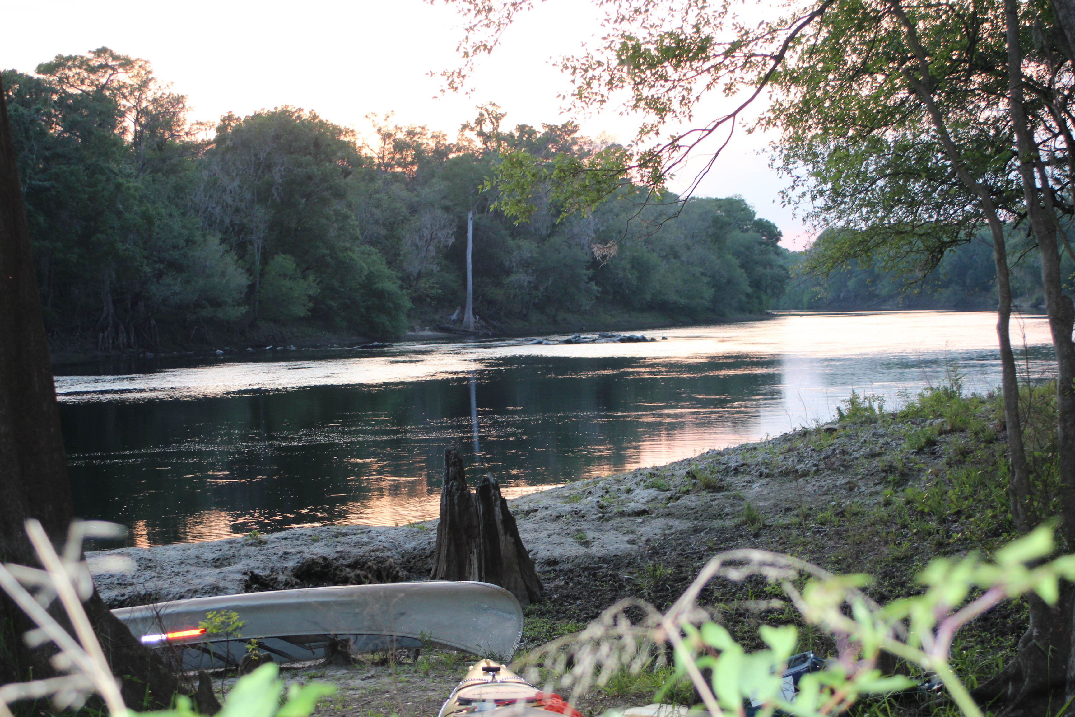
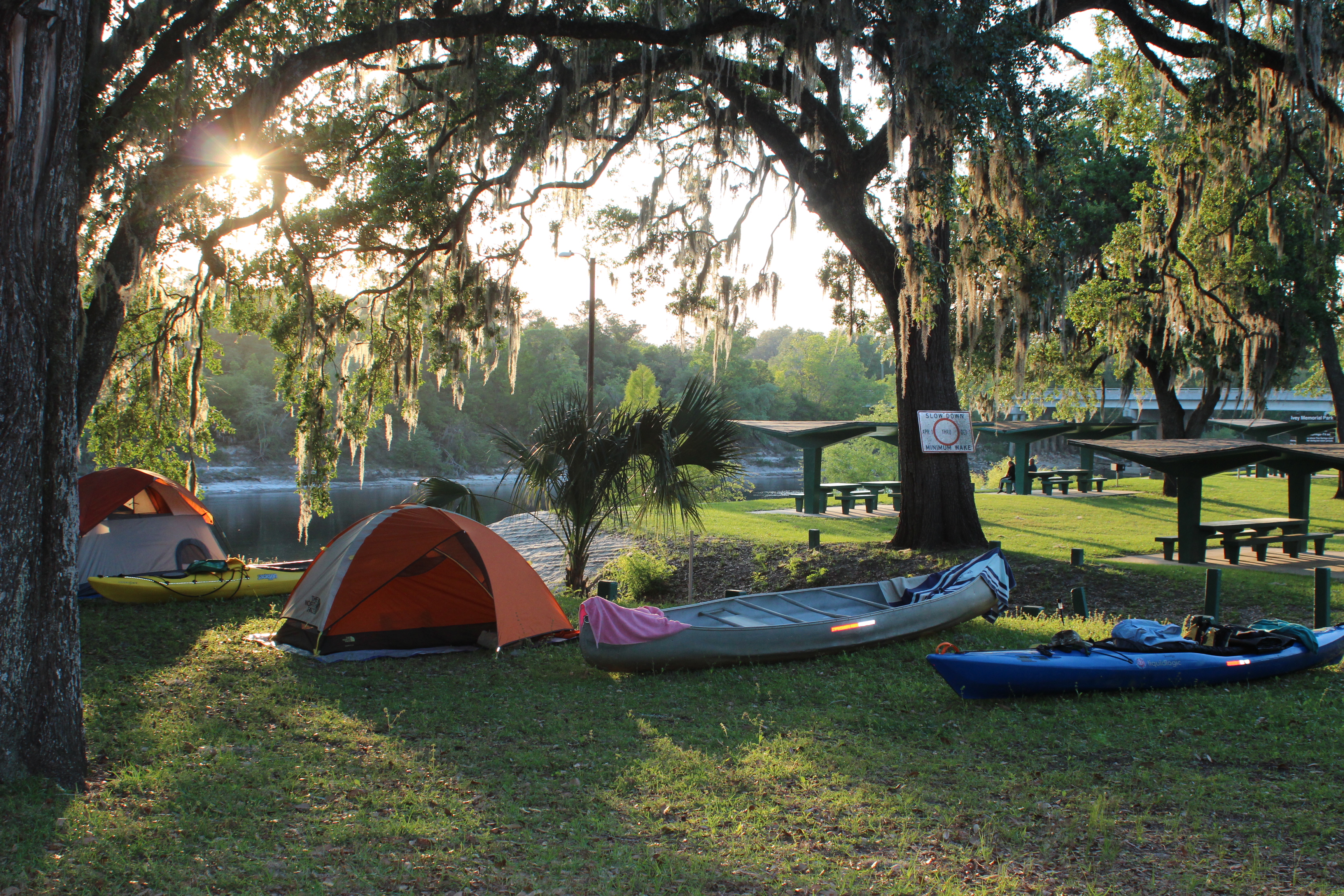
Three miles beyond the Rabun Beach recreation area is where the public ramp of Seed lake can be found.  It was 11am.  At 240 acres (my benchmark for casual exploring is 500 acres or 20 miles – a day) I figured Seed to be a fairly casual paddle. Over the day I was surprised at how loooong the 240 acre lake felt – maybe it was somewhere in the 13-miles of shoreline – or just maybe my ez pace.

.

IMG_2339

Considerations for the days paddle; as a fireman it was within my nature to search a smoke-charged room (no visibility) keeping the wall to my left, until our search mission was complete.  In paddling, I have learned to be a little more adaptable.  Sun (shade/photo’s), wind, current, tide, plus any other particularities of the area all play their part – one consistent ‘default’ for me seems to be the ‘headwaters.’  Other than picking up a turkey-sub at Subway I don’t think I ever considered any other factor for Seed besides “heading for the headwaters.” Always go to the headwaters, and then explore on the return – anything ‘beyond’ this – is pure bonus.

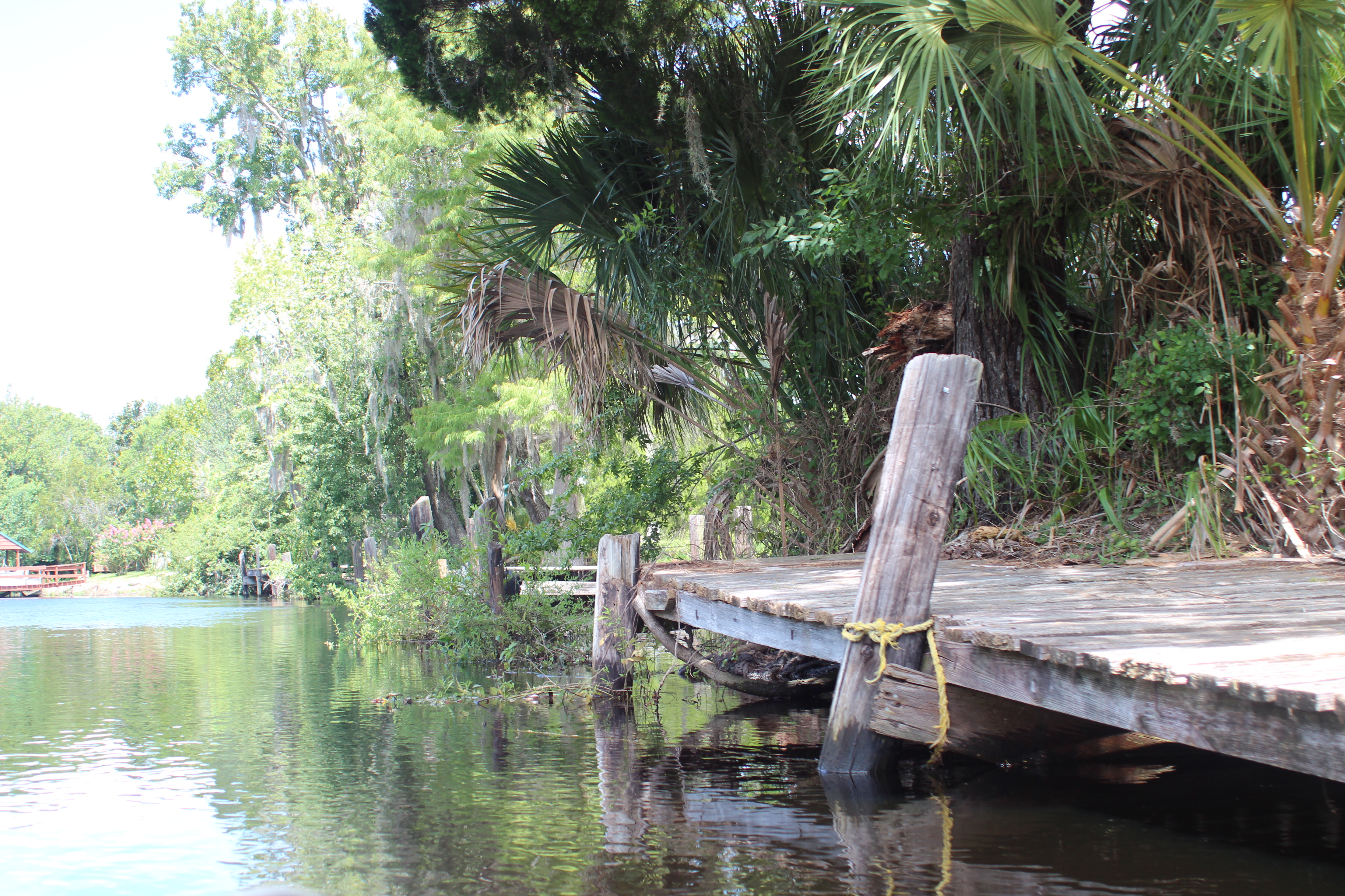
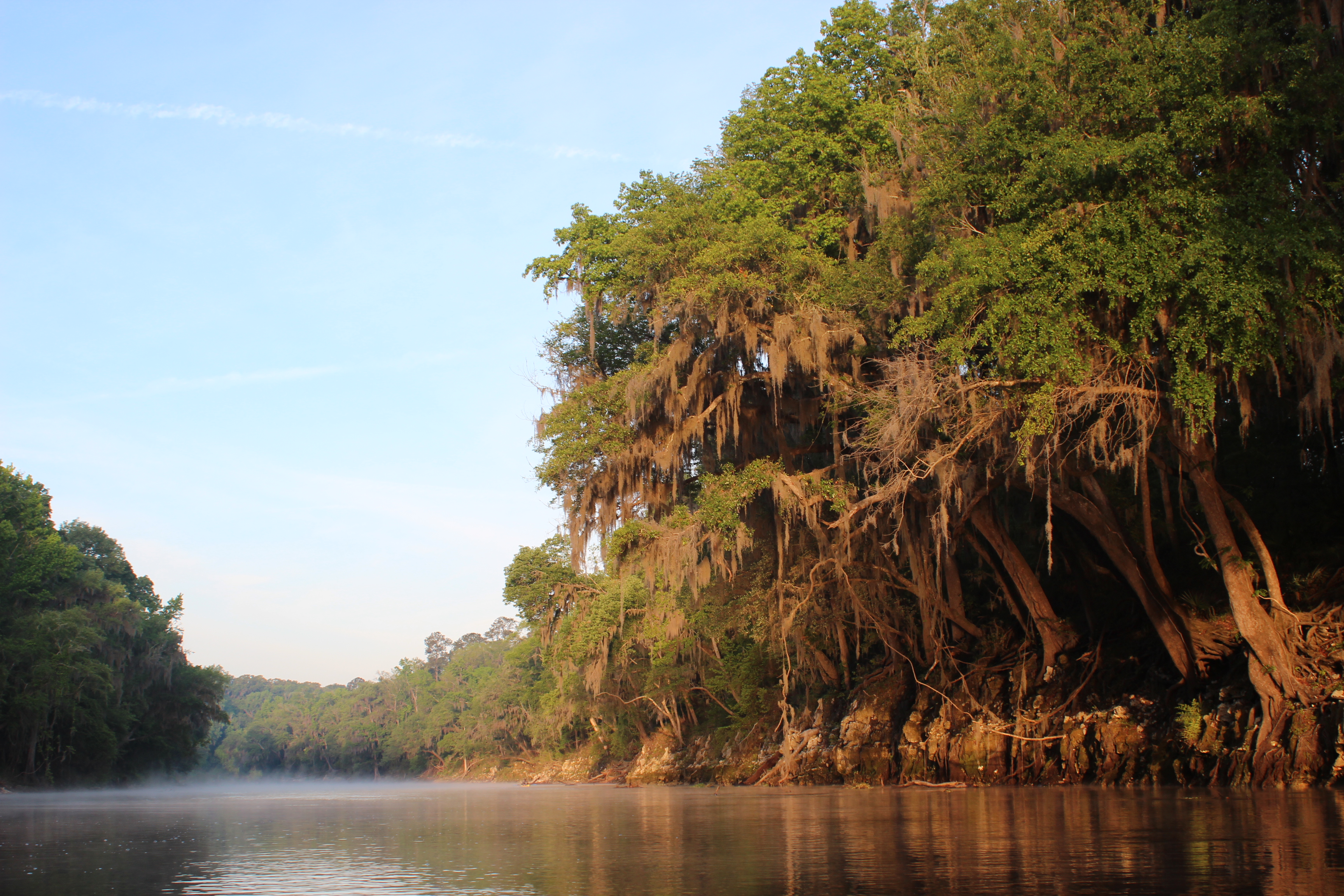
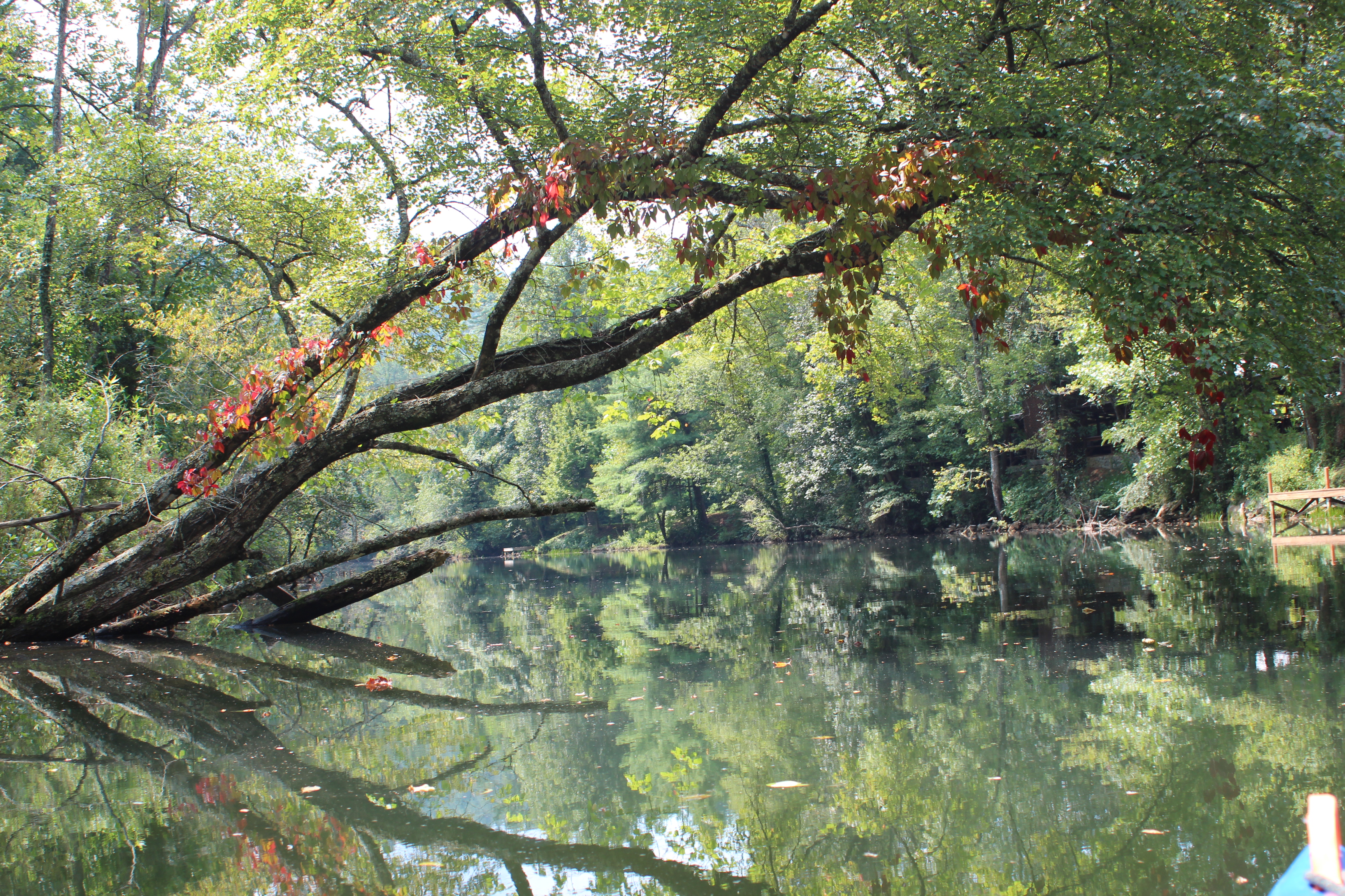
Seed is not a round or mundane lake – its a lake of length, once a deep gorge.

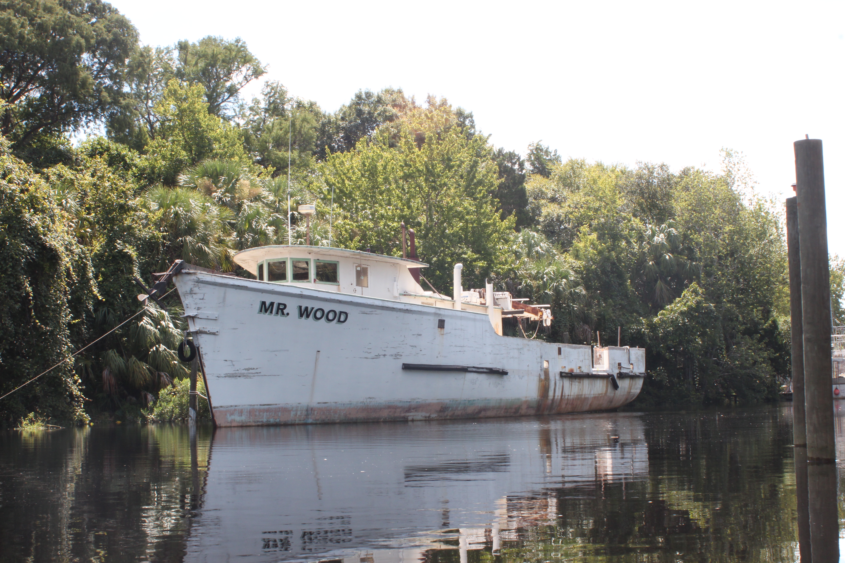
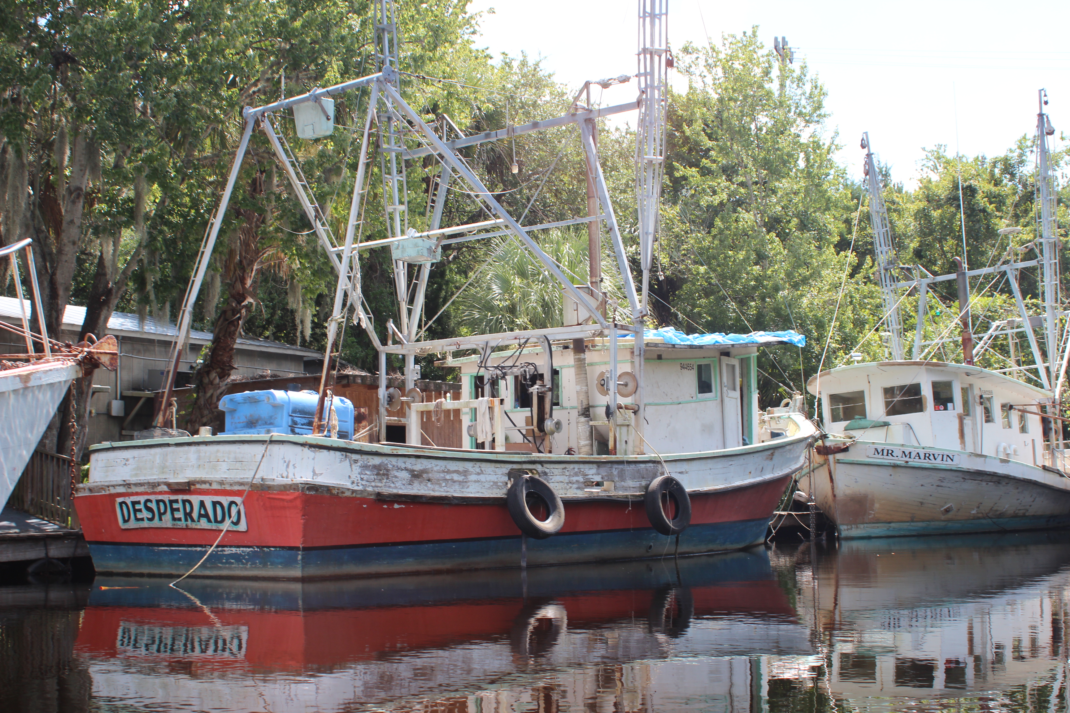
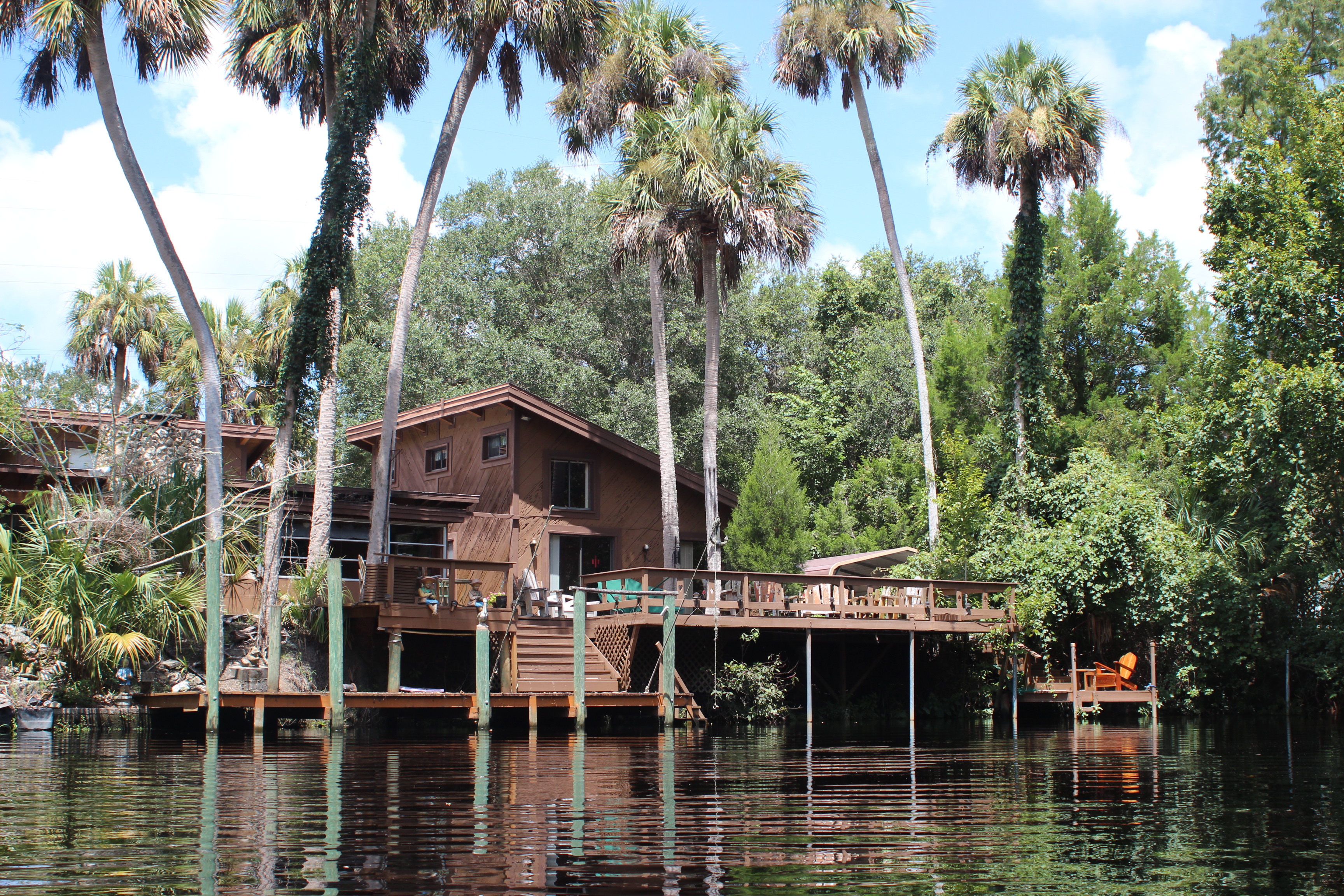
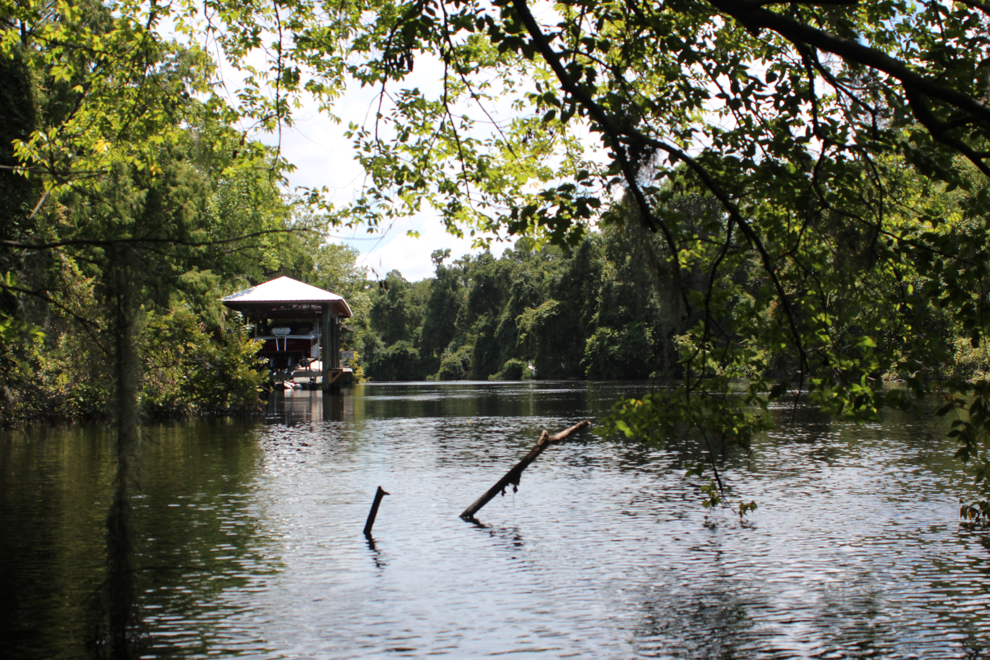
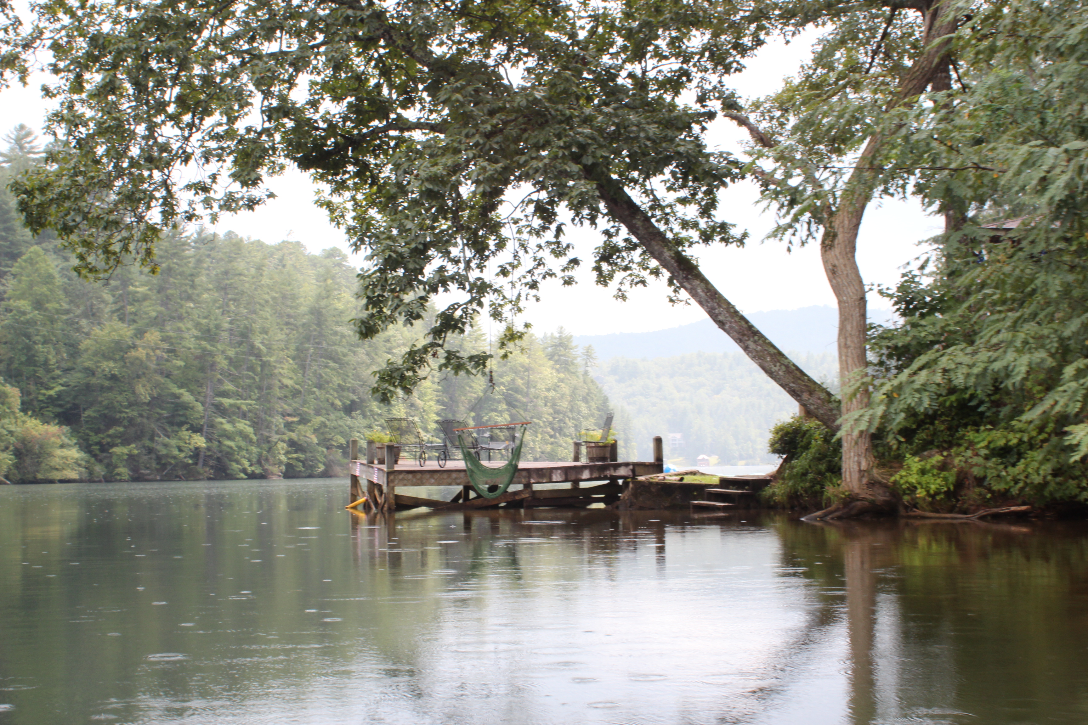
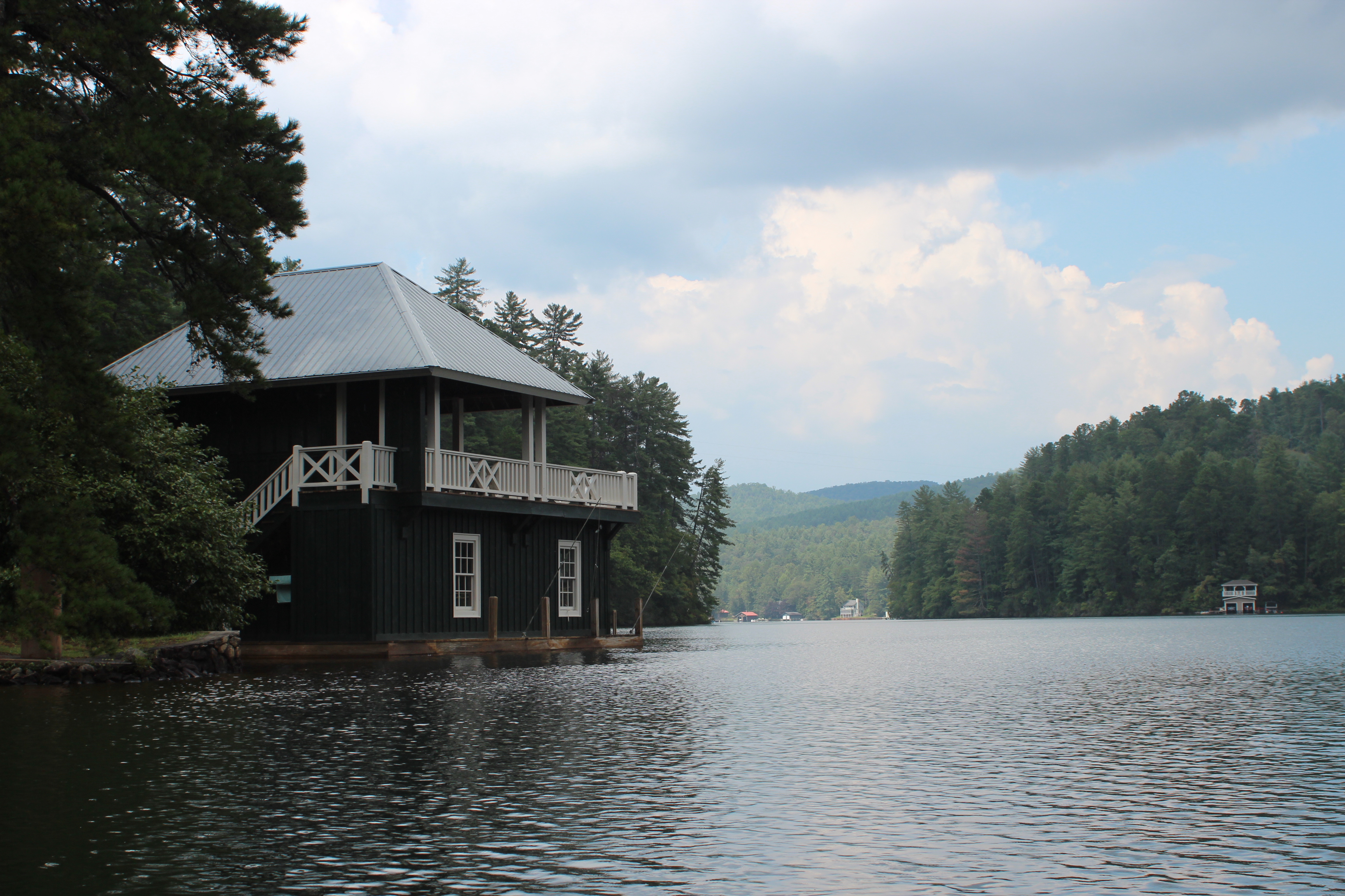
The boathouses are immediately apparent, each making a simple statement, each little island representing sovereign territory – an expression of individual charm and character – whether it be recent history or many summers lost.

.

Quietly paddling along the shade of the trees, the bass were easy to spot through the clear water, and there were the ever present Kingfishers and herons enjoying the fading stillness too.

.

I am intrigued by all boathouses; screened rooms of the past

.

as much as those with open decking.

IMG_2377.

The channel winds lazily as it narrows and sinks further towards Burton Dam.

.

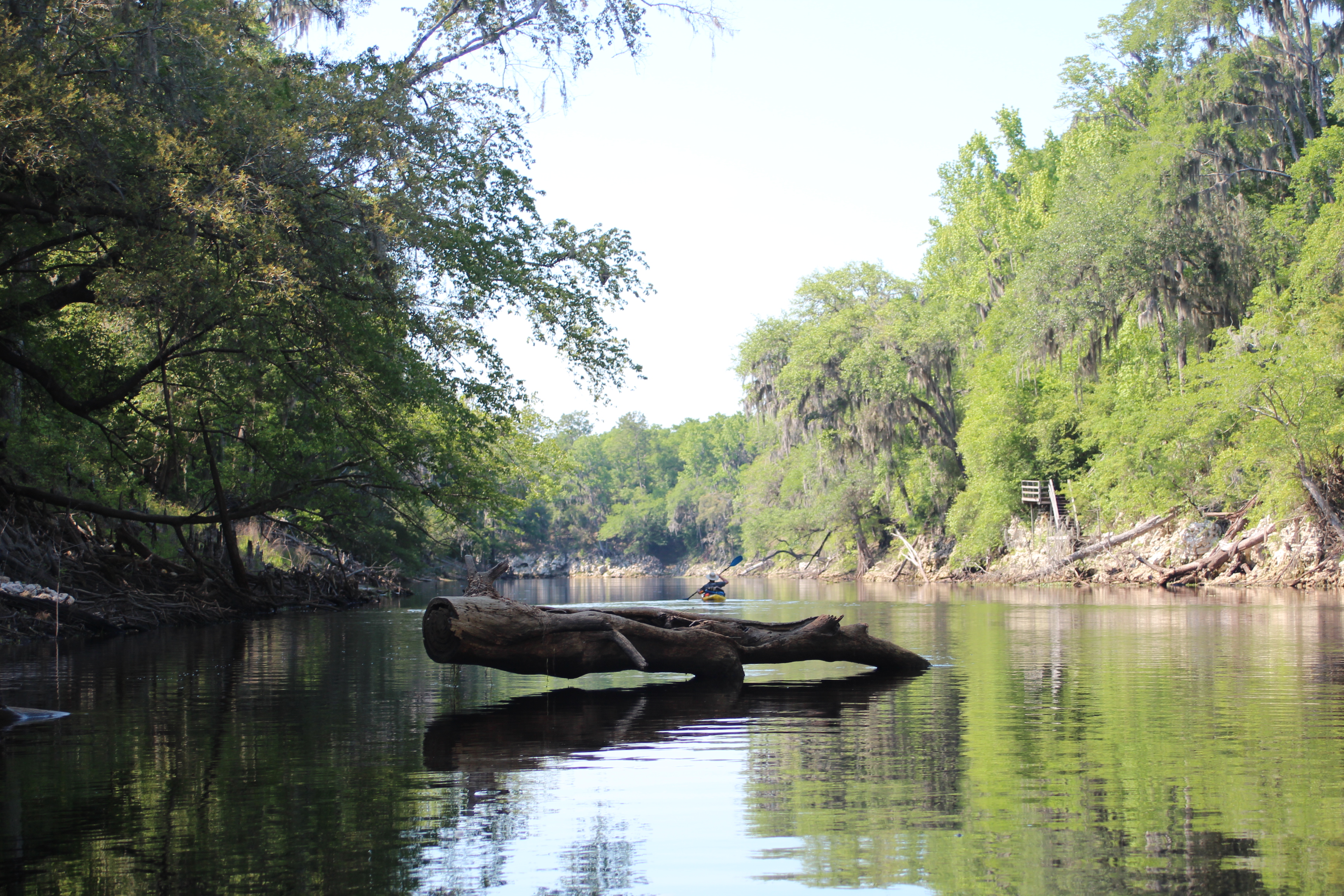
Along the shore line just as on the Suwannee river, there were trot-lines dangling – but unlike the Suwannee’s fishing sets, the brush attached indicated these were clearly unattended.

.

.

Wood-ducks slipped under the rhododendron as I worked my way through their neighborhood – being upstream I expected more current – but little to none seemed present, just lingering stillness.

IMG_2430.

.

.

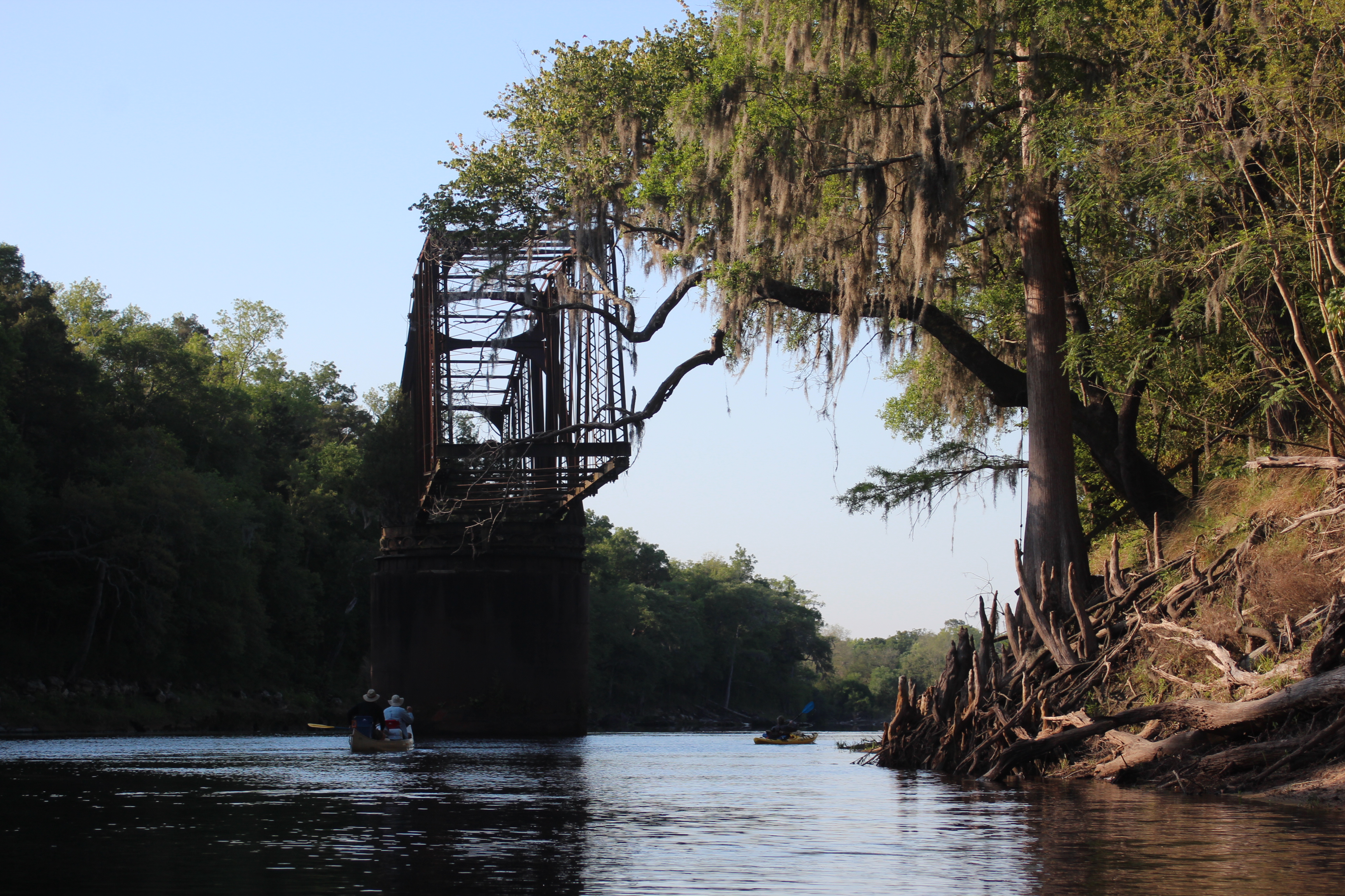
Through this quiet setting of less frequent boathouses, a cement – yet very dilapidated Crow Creek bridge appeared.  The base of this old bridge shows large rock aggregate (old technique) used within the structure, long ago by-passed – it is slowly falling apart.  The Tallahatchee Bridge song came to mind as I passed under.

.

.

IMG_2465.

Just under Burton Dam rd is of course, Burton Dam.  In appearance it looks just like the others along this chain of mountain lakes – dated; and likely in need of attention. Its about impeding the natural sedimentation process that these and the dams out west do – I’m still learning about the concern.  Right now I just consider the glut of mud when/if one of these pilgrims fail – and with the age they are becoming……….

.

An hour and a half from put-in the headwaters.  Feet-up and a snack of a turkey Sub, calibrate.  Under me now is a slightly more visible current in motion – I like free-rides..

IMG_2496.

.

.

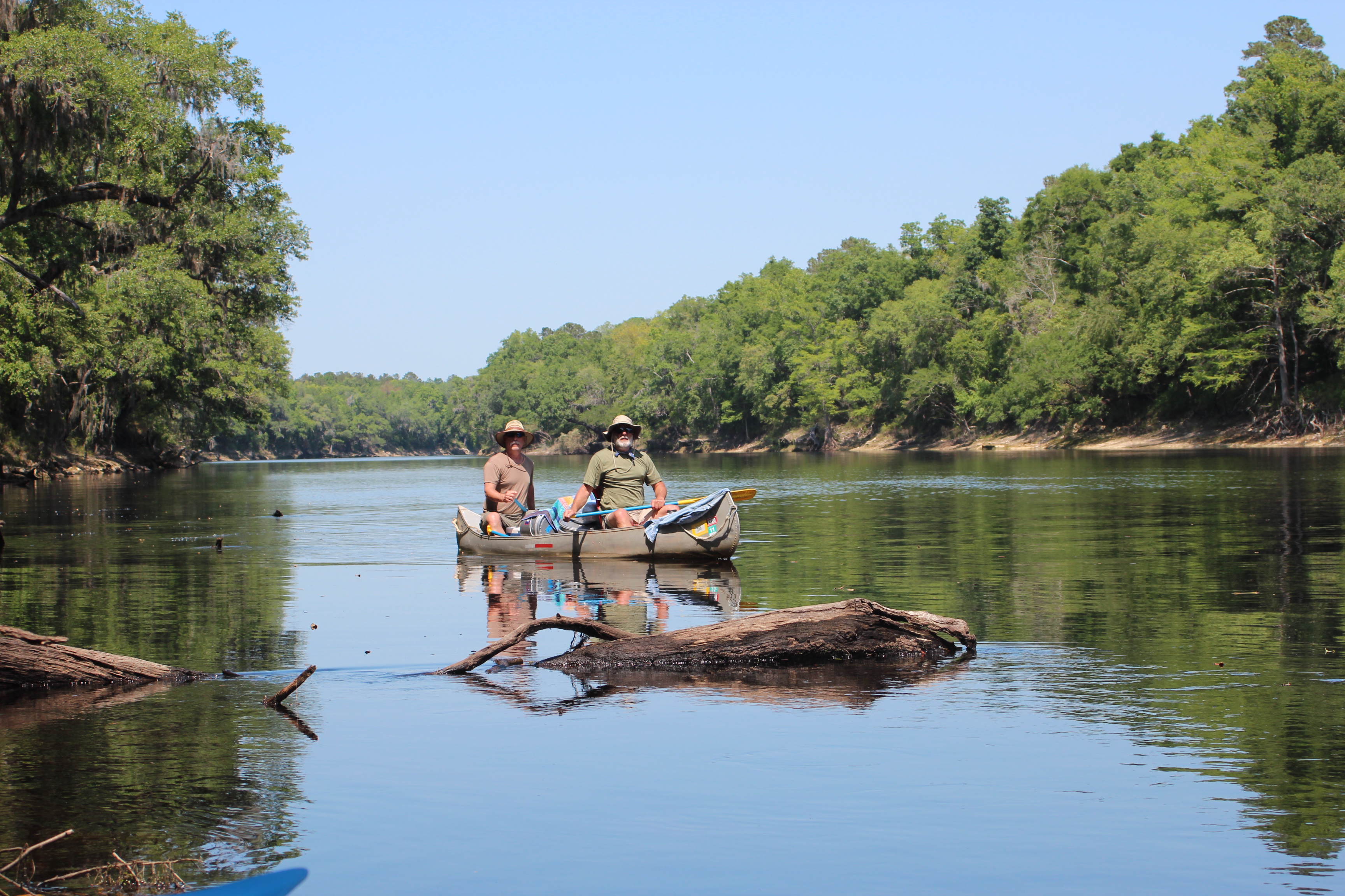
Over the morning I had seen two boats of fishermen – one for walleye’s and the other Bass fishing, none were present as I meandered back down river – searching for coves to explore – only one little ‘divit‘ on the return.

.

Earlier as I had paddled up to the waters of Burton Dam, there was what appeared to be a public beach on the far side – now on return (and in light rain) I investigated.

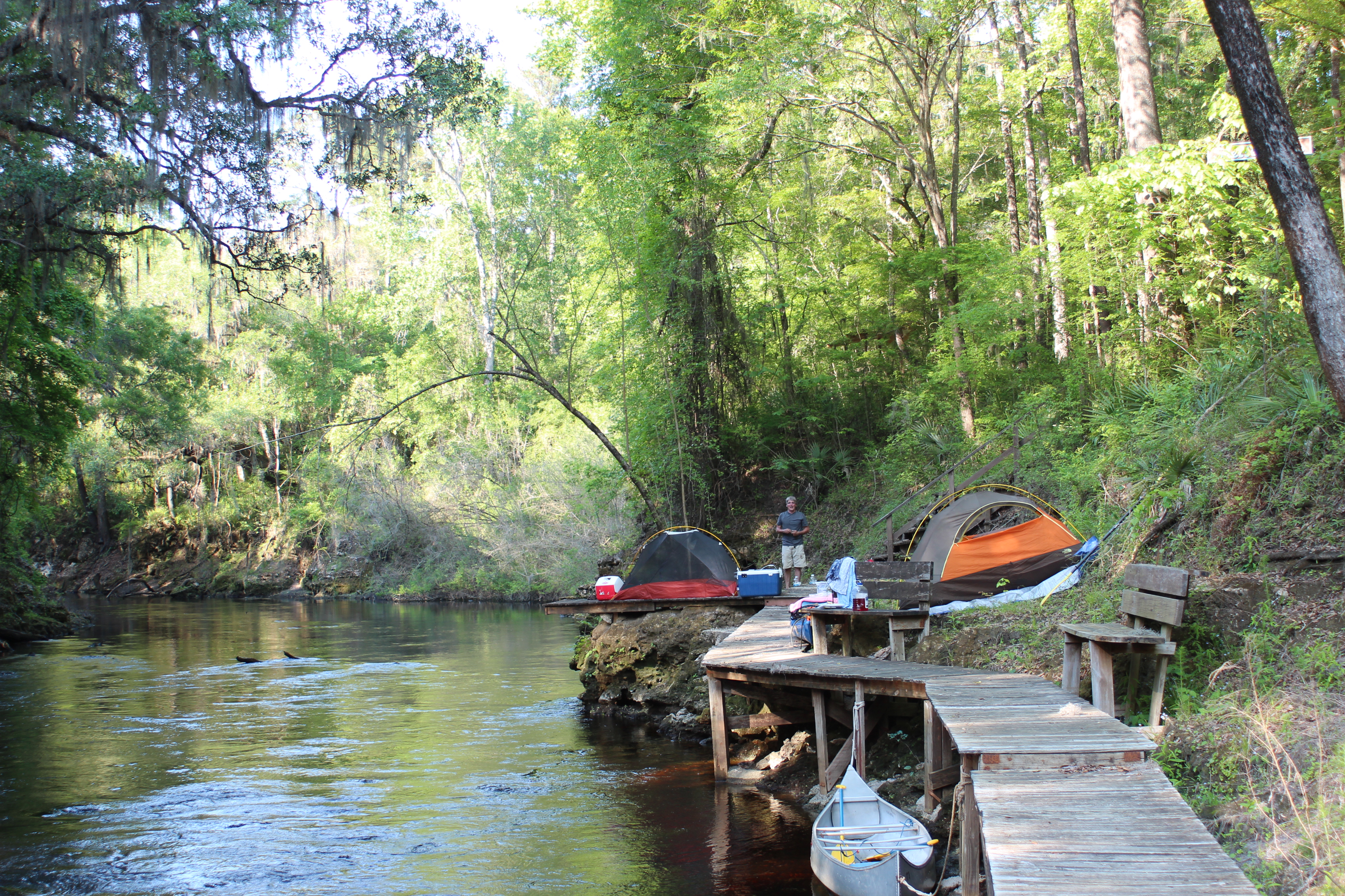
Seed Lake Campground, just like the sign mentioned at the boat-ramp. Primitive camping is available on this lake.  The area seemed quiet with small fire-pits, empty with the exception of a healthy-set of ‘Georgia-women’ (five).  Each were grazing on a freshly grilled cheeseburger.  In light conversation one mentioned that they were celebrating “their kids being back in school” – the beverage of choice looked inviting.

.

“There was a whole ‘lotta women standing around that concrete picknic table.”

As I paddled away I smiled inside figuring that there was simply not enough beverage to ever change that perspective (and I hoped that they had a great time).

IMG_2544.

Passing back by the boat ramp it was 220p, light rain was falling and I had focus issues with my camera.  On one trip paddling in the Okefenokee Swamp – I ‘lost’ (screwed up) almost all pic’s, hoped it wouldn’t happen again today – I’m pretty rough on a camera.

As far as the rain went, not a big deal – rain simply reminds me of an original paddle buddy, Ruth Miller Olson.  Paddlin in the rain was “just a part of it” and seldom given a second thought. Remembering that tenacious spirit always leads me to smile when paddling in wet conditions.

.

IMG_2552.

.

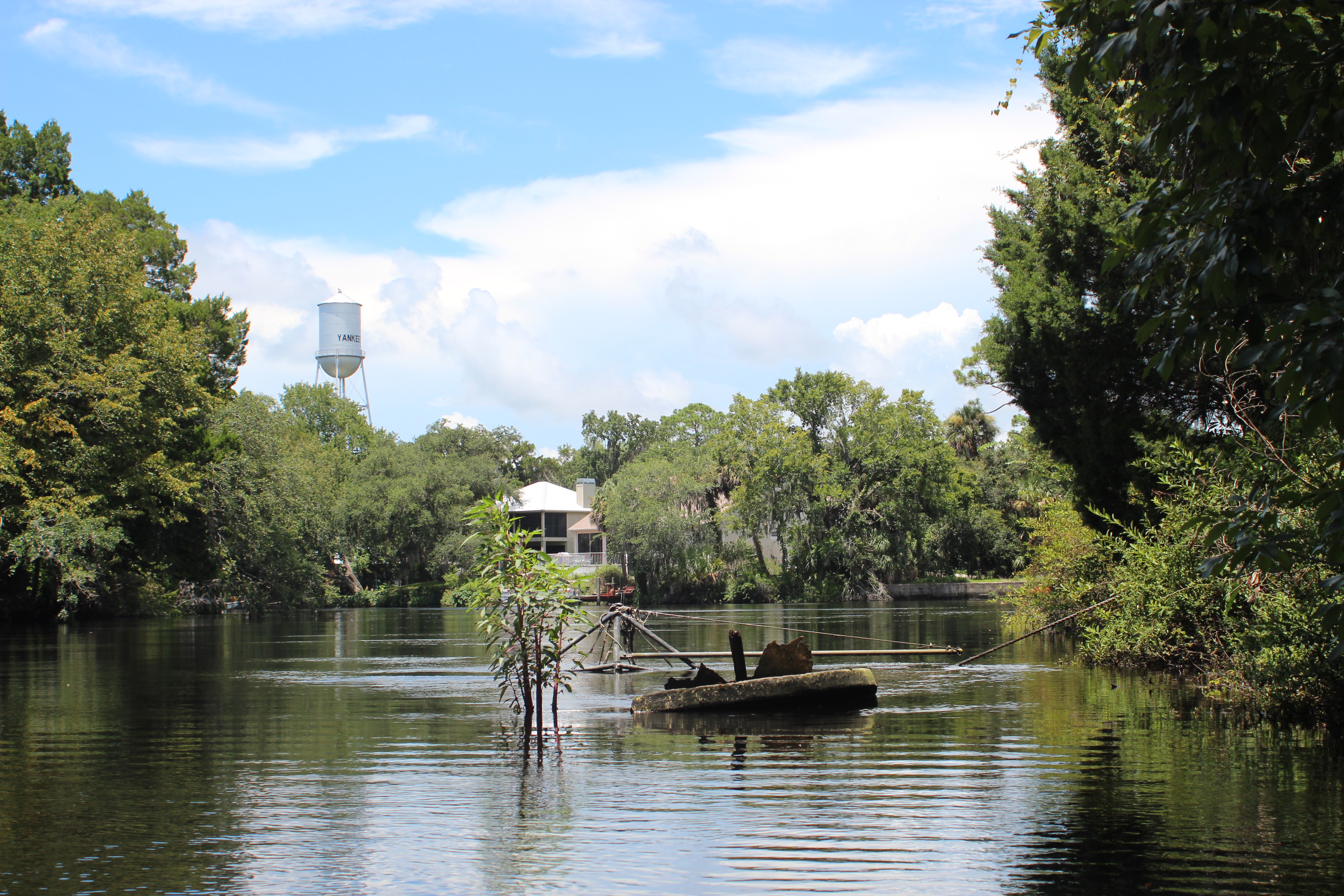
More boathouses and a slightly larger body of water near the Lake Seed (Nacoochee) dam.

IMG_2561.

.

In turning back towards the landing, there were more boathouses around – I was a little disappointed at the few shallow coves there were to explore – but hey, I kinda knew from googling‘ and researching the lake before coming – Seed is not a giant lake, just a looong one.

IMG_2573.

.

I found Lake Seed to be a pleasant little piece of icing between the two more exposed worlds of lakes Burton and Rabun.

IMG_2585.

The heavy rains held back and my focus was a little clearer as I neared the boat landing – always one of my favorite places of cheap entertainment.

.

Three-twenty, an ez four and a half hour paddle – with a two hour ride ahead.

No matter; “there’s ‘just something’ about having that kayak strapped to my roof that makes me a happier person.”

.

Other places to paddle;

free-range paddler

A Withlacoochee River ‘Dabble’

Leave a comment

‘Dabbling’ on the Withlacoochee River

IMG_1029

dabble [ˈdæbəl]

vb
1. to dip, move, or splash (the fingers, feet, etc.) in a liquid
2. (intr; usually foll by in, with, or at) to deal (with) or work (at) frivolously or superficially; play (at)

3. (tr)to daub, mottle, splash, or smear his face was dabbled with paint

[probably from Dutch dabbelen; see dab1]
dabbler  n
.
I suppose I’ve learned that when one ‘dabbles’ in something, they spend a little time at it before running off to something else – not constant production, but progress still the same.

Point being, that my purpose in the area was primarily a visit with Uncle Lester ‘Buddy’ Hilliard on his 90th birthday –  so my approach to the Withlacoochee river was as a transient, a place to simply go spend a few hours and reflect on this awesome patriarch of our families character.  On this day I would ‘dabble’ on the small section of Withlacoochee river between the Gulf and Hwy 98, at Yankeetown.

.

.

There are two Withlacoochee rivers in Florida, this is the lower which is about 141 miles long and actually flows South to North.  Certainly I would like to paddle more of those miles, but this visit being what it was – well, any time on water was welcomed.

Just a few blocks from Uncle Buddy sits the Coast Guard station at Yankeetown, where his brother and my other Uncle Bob served a number of years – across from the station is a small public boat ramp.  This is where I put-in and always the center of the cheapest of entertainment – this date it was no different.

IMG_0906

The gentleman backed his truck partially into the water, then stepped out and into the trailered boat where he directed his wife to back the truck and boat further into the water – which she obliged.  With the truck angled awkwardly she continued back, the man began screaming at her to stop, yet she continued.  At the time I was beside the truck loading traveller for the day- with the rear wheel disappearing beneath the water I had to get her attention and signal her to stop!  She stepped out and the obscenities between the two began – her defense was that the radio was on too loud in the truck for her to hear!  Her husband quickly replied “well stupid, turn the damn thing down, you’re in there!” – it was comical stuff, I love those boat ramps.

In paddling so near the Gulf the tide would be a factor, I had checked for times the day before – high tide was at 1030a and I was right on time.  I figured that I could paddle upstream to the Hwy-98 bridge before returning with the outgoing tide – it was a good plan and worked well.  As I moved further onto the river, the tide was at its peak yet an outward current remained., after paddling other rivers – the current wouldn’t be a factor.

IMG_0914

Where the current was noticeable, the humidity was the largest ‘beast’ – it was July heat and August thick.  As a native Floridian (with time in an attic bedroom) I understood this weather and pushed onward, if you like being in this environment – its all just ‘part of it.’

The sun was baring straight down leaving little shade along the banks, – I took advantage of what little I could find.  No doubt that fall and spring have become my favorite paddle periods, but even with the sweltering temperature of the day – it felt good to be once again exploring a river setting.

IMG_0923

Of course it wasn’t long before I realized my long-sleeved fishing shirt was back in the truck, ideal for cooling on such a day.  With that shirt drenched, there is an edge in hydration – today it would be short sleeves and lotion, yuk – a few more freckles.

With Gulf access there were some larger boats along the way, Mr Wood was a good first-stop – finding a spot of shade between the bow and shore of this @60′ fishing boat, I put my feet-up and calibrated.

.

IMG_0942

.

This was a neat area where a small fleet rested, mechanics were working to prepare several for the next venture – I wondered how the tide figured into their access when entering or leaving this river to the Gulf – I wondered too if they could make it in at low-tide.

Sitting in shade along the way a gentleman read the paper on his dock, we chatted – he was 80 and had recently lost his wife – a 90 y/o cougar, nice guy.  There was no hurry to my paddle and Hwy-98 was still a few miles away.  In a bit was a power sub-station with a long-abandoned and neglected sailboat across from it – there were several abandoned vessels along this stretch of river, a couple visible just below the water line.

IMG_0954.

I was beginning to think less about the heat and finding more to enjoy about the river, noticing several small inlets and coves of interest I continued with my normal paddling objective, farthest point first – then explore on the return.

Against the current and with a relaxed pace the hwy-98 bridge came in two hours, drenched with sweat I was eager to cool-off.

.

At the bridge there was a boat ramp with No Swimming signs, – didn’t take but a moment to make a splash…..signs, like opinions……

Soaking wet I then paddled over and sat in an eddy under the bridge, there were no trolls tormenting me here (like Natchez). It was a worthwhile pause in some much-appreciated shade.

..tide going out, feet-up

IMG_0986

.

Old boats are as good to ‘gander’ at as natural shoreline, its all character and tells a story – along this part of the Withlacoochee there were numerous boats of character – old cruisers and work boats alike, stories lost.

.

.

IMG_1001

dated shorelines

.

IMG_1013

Generally an area and town of older fish-camp style homes, many remodeled or rebuilt in their own way, some were pretty neat, all held a touch of intrigue.

.

There were parrots about, and owls which were active during the day, I was hoping to get a picture of the owls – but hearing their music and seeing the parrots was good enough.

IMG_1017.

Easing past this lot I couldn’t help but to notice the box-car axle and wheels on shore, reminding me once again of Uncle Buddy. After service in France during WW2, Buddy retired after 40 years a conductor for the Atlantic Coast Line Railroad in Florida.

.

IMG_1029.

IMG_1039.

IMG_1048.

On the return I did explore the coves along the way, none very great in distance – but each interesting in their own way.

IMG_1086.

plus a little time to ponder in the shade

A ‘C-Dory admirer,’ I had to paddle past this one twice – over the past couple of years I have crossed the path of a number of like-minded folks on the lakes, in a ‘dory.’

IMG_1101

Yankeetown water tower with sunken vessel in foreground.

.

IMG_1116.

Rope swings, so they do swim in this water.

.

IMG_1129.

another cove,

.

Two hours back to the ramp from Hwy-98, just a 4.5 hour ‘dab’ on the Withlacoochee current.  It was special time to contemplate an Uncle, a family, and another few moments of our short lives (“…mist droplets in the ocean of time”).

IMG_1135

.

Life is full of little circles; I look forward to the return.

.

Paddling The Suwannee, Live Oak to the Gulf (days 1,2)

9 Comments

post 1 of 4

THE SUWANNEE RIVER GRIN

Live Oak to Suwannee, Fl – The Gulf

Live Oak to Dowling Park River Camp

IMG_6600

It felt so good to be traveling with the kayak (‘traveller’) strapped to the roof that I smiled all the way down through Georgia.  The entire ride, just thinking about another Spring paddle down the Suwannee River – made me grin.

This years trip included Gordy (determined to complete the length) along with Carl (from the Mississippi) and his brother Richard – and instead of starting in Georgia, we would begin at Live Oak (the Suwannee River Outpost).  The 8-day paddle ended up with perfect weather over the 150 miles to the Gulf.

Our paddle rate for this trip;

Day 1 – Live Oak to Shelley Run (rm 148 to 135) 13 mi

Day 2 – Shelley Run to Dowling Park River Camp – rm (135 to 113) 22 mi

Day 3 – Dowling Park to Peacock Slough River Camp (rm 113 to 95) 18 mi

Day 4 – Peacock Slough to Ivy Park in Branford (rm 95 to 76) 19 mi

Day 5 – Ivy Park to Gornto Springs Park (rm 76 to 55) 19 mi

Day 6 – Gornto Springs to Fanning Springs State Park (rm 55 to 34) 21 mi

Day 7 – Fanning Springs to Fowlers Bluff (rm 34 to 16) 22 mi

Day 8 – Fowlers Bluff to Anderson River Camp in Suwannee, 16 mi

.

.

IMG_6625

We met at a motel proximate to the river near Live Oak on Sunday, then first thing Monday we headed over to the Suwanee River Music Park; this is where the ramp and Outfitter were located.  The shuttle from the outfitters would return us from the Gulf in a week or so, $41 bucks each – well worth it.  After this settled it didn’t take long to have our vessels down the ramp and sitting atop the Suwannee’s mellow current – downriver.

All reports had been with low water, on this date the water gauge at White Springs was at 52-feet, this reading is a good measure of volume for the river and a common gauge used for paddling the Suwannee – anything below 52 means a smaller creek Northward with potential sand/shoals on the lower.  The water marks along the shore indicated that the water was lower than normal – but it was hard to sense as we had a solid current every day – if there was a difference with the volume/current, it was hardly noticed..

The character along the Holton Creek corridor is one of the more striking sections along the Suwannee, the shorelines and tree roots leave alot to imagine and ponder as you ease along around 3 mph.

.

IMG_6706

Neat things to look at.  With a potential 29 mile paddle the second day, our first day of paddle was planned as a very casual ‘shake-down’ kinda day, orienting with each other, our vessels, and the river.

Carl and Richard were new with the canoe and had it fully-stocked, seemed like ice was going to be a priority on this trip.  With that said, some of us may have started a bit early with the red-drink (waggitt/adder) concoctions – but hey, it was a ‘shake-down’ relaxed day.

Arriving early at the Holton Creek River Camp we walked the camp, laid around like a bunch of cows in the shade – then decided to push-on to reduce the anticipated mileage of the following day.

IMG_6711

In moving on I did have a place in mind, one that was noticed on the Holton Creek visit, “Shelley Run” – just before Gibson Park.  Originally I thought it was a ‘spring,’ but the water wasn’t truly clear enough for spring water, later I heard that it was an underground branch of the Alapaha riverthe Alapaha rise.  I’m not sure but it is a ‘boil’ which starts just above the private docking.

So this is where we completed our first day, at a seldom used private camp.  After a ‘bird-bath’ in the river, some camp food, then a few hearty laughs over our day – it was ‘lights-out.’

In the trees above there were the chime of owls hooting and ‘courting’ each other – sleep came easy..

Seems possible that a true paddler goes down with the sun, and rises with the morning light; leaving only footprints.. Low impact visit.

.

(more Day 1 pictures)

DAY TWO,

Day 2 – Shelley Run to Dowling Park River Camp – rm (135 to 113) 22 mi

Up, hot coffee and on the water before 830 – a full day to paddle and ponder ahead.

IMG_6735

It’s kind of magical slipping through the Suwannee’s morning vapor as it lingers into another losing battle against the warming rays of sunshine. It’s ghostly along the shoreline as day-light penetrates and the beams reflect upward throughout the trees. The air is comfortable, damp, and peaceful.

It’s beauty stands out among the sandy beaches,

it’s stark as the tannic water punctuates the simplest of images,

the freshness is clear and vivid,

and rope-swings hang motionless along the shore.

IMG_6778

It’s all as simple and fresh as it gets.

.

At the Suwanee River State Park the Withlacoochee River joins forces with the Suwannee, adding a little more current before passing under the railroad trestle.  This bridge and area within the state park holds Civil War history..

INFO: Here, within the Suwannee River State Park there remains a Cemetery, Confederate Earth Works Fort, Ferry Landing, and Stage Coach Trail.

“The town of Columbus stood near the Confederate earth-works fort that guarded the old RR bridge. There was once a Stage Stop there and the town benefited from it along with the RailRoad, Ferry, Sawmill, and the Steamboat traffic. The cemetery, considered one of Florida’s oldest, is the only evidence left. It can be found on one of the nature trails. Nearby the earth fort was constructed by Confederate soldiers to protect the RR bridge from Union attack. This was very important to the Confederate forces since their meat at the time came almost entirely from Florida range cattle, sugar, and salt. At the time there were plenty of ‘Cowboys’ in Florida raising cattle left from Spanish occupation. The Union knew that if they could destroy the RR bridge it would shut off the meat supply for the troops. Union troops were sent from Federally occupied Jacksonville to destroy the bridge but were engaged at Olustee, in Columbia County, and defeated in February of 1864.” 

“The Columbus Post Office was established on February 17, 1842 and later moved across the Suwannee to serve the new sawmill town Ellaville in 1867.”

.

After the railroad trestle and State Park, but before crossing under I-10 there is a simple set of shoals to cross, we each crossed, and –

IMG_6832

– then the real entertainment began. Whatever the reason the canoe had flipped and everything was in the water – with this being their first trip in this particular canoe – Gordy and I knew it would happen, it was only a matter of time (I won the $buck).

Somewhere inside I think these two practicing an impromptu ‘half-of-a-roll’ began the process of adapting that had to occur before the final legs (and alligators) nearer the Gulf, the brothers refined their skills on this date.  Later, after the second 180, there were no more.

Gordy and I would have to adapt too.  We were learning that where a canoe could carry a mess of ice, coolers, and ‘stuff,’ they were generally slower on the Suwannee’s gentle current.  Where a kayak could make thirty miles in a day, from here on out it was a matter of working together as a group over twenty miles a day.

This actually helped me to stop and enjoy things a little more.  I remembered reading another trip-report about the river where it was advised NOT to hurry down the Suwannee, but to “take your time and enjoy.”   Solid advice.

IMG_6848

There was now time to appreciate the layers of sediment along this section – which are identified as part of the crustacean period of 65 million years ago.  There are fossils, certainly worth more than a glance.

Some shoreline is steep and carved.

IMG_6874

Through day 2 Carl and Richard continued their brotherly banter, and then somewhere it quieted down and simply became a matter of ‘paddling-on’

– of course while we kayakers laughed and grinned at their antic’s – they replied with actions….

Costa Lotta

‘Costa Lotta’

Along the Suwannee it can be anything that you want it to be.

.

We made Dowling Park River Camp with host Chuck and Yoda the dog, great places to settle for a hot shower and a good nights rest.

(more day 2 pictures)

.

Next Days, 3 and 4Dowling River Park to Branford

.

Suwannee River Mile References 

note: even though mentioned and shown on available maps – there are NO physical ‘river-mile’ indicators along the river.  For further Suwannee River mileage information, check this link – Suwannee River Mileage, Trip Agenda ideas.

Opinion; Marking existing landmarks such as bridges, ramps, and river camps with a numerical reference would provide basic orientation points (and emergency references) along the river (the Mississippi has them).

Paddling The Suwannee River, Live Oak to the Gulf (days 3,4)

Leave a comment

II

THE SUWANNEE RIVER GRIN

Live Oak to Suwannee, Fl – The Gulf

(previous days 1,2 Suwannee Music Park to Dowling River Camp)

Day 3 – Dowling Park to Peacock Slough River Camp (rm 113 to 95)

At the Dowling Park River Camp Chuck and Yoda (his little dog) were fine camp hosts, they were throwing the frisbee along the beach as we arrived then after ‘visiting’ a few moments they disappeared into the woodwork – I like ‘short stories.’

The camp was spotless and welcoming, leading to some evening stories about a camp-host  named ‘Jim’ from the Holton Creek River Camp the previous year – ‘Jim’ had been alone in the woods waaaay tooo long and the camp had become ‘his-domain.’ He would sit all arriving hikers and paddlers down and recite the rules to them before handing them a single trash bag for their visit – trash cans were minimized.  ‘Funny,’ and a little zany in comparison to the other river camps I have visited.  Still within it all the camps are free, so no complaint – just an observation…

IMG_6892

Our third morning reinforced a simple pattern; shower, coffee = a fresh start.  The setting is tranquil as we slowly load our vessels.  Somewhere in this (and it didn’t matter who went first) we each slipped back into the rivers peaceful movement and eased downstream..

After the previous day Richard sought some ‘upright zen’ for the day – Carl rocked the canoe in jest

– and off they proceeded. At the bridge just downstream from Dowling Park (and up the landing) is a store less than 1/2 mile down the road, FYI – I walked for ice before paddling on to catch up with the canoe.

.

IMG_6935

The current remained positive and continued to support an easy paddle, there were areas of abrupt shore line carved over eons.

There were stops to stretch,

.

.

mixed with observation and amusement at the myriad of efforts of individuals to conquer a simple trek to water’s edge – the effort ever complicated with the river’s nature of fluctuation – battling common sense engineers..

After the ‘blue bridge’ at Telford Springs comes Bathtub Springs,

.

IMG_6980

the weather continued to be perfect, for anything you wanted.

Schools of mullet were constantly visible in places where the clear spring water meshed with the rivers tea-colored waters, there were a number of springs along the way to paddle or just gander.

And yes there were the Sturgeon, BIG leaping fish – we had several good glimpses of them as they ‘cleared the water’ and fell back with a ‘can-opener’ splash.

As we made Peacock Slough River Camp – I went ahead first for the cart (wagon-like to help with our gear), I was a little surprised when I had to walk all the way back to the ‘hosts’ trailer to get it, but then again – hard to complain.  As I reached for the cart the host stepped out of the shadows – it was JIM! – I laughed when I recognized him and told him what a ‘legend’ he was as a camp host, at the same time spitting out that we would all be available so that he could ‘read us our rights!’

On my way back to the landing I noticed that all the trash cans were made unavailable with the exception of one, later Jim sat us down, and read us the camp rules.

From there (and maybe during) we drank and laughed about the subject into the night.

IMG_6997

.

IMG_7000

.

There was also time to notice the sunset on the Suwannee…

(more day 3 pictures)

.

Day 4 – Peacock Slough to Ivy Park in Branford (rm 95 to 76) 19 mi

.

.

.

It didn’t take long to put our single trash bag in the single trash can and head downstream for the day, we were on the river before 815.

IMG_7027

In a short distance the long abandoned Live Oak to Perry Railroad (LO&P) trestle stands watch in the middle of the river, it’s base of steel reflects years of neglect – I give it 30 more years before it too succumbs to the Suwannee and tumbles in (also referred to as the Drew Bridge).

The canoe seemed to be plenty seaworthy; the canoeist’s mental stability remained in question.

IMG_7053

.

Gordy continually worked the ‘point’ ahead adjusting to the change of pace – there were times that it was difficult to see him in the heavy Florida smoke on this date.  In noticing a person working along the shore (and thinking they were a little more ‘tuned’ into the news) we asked what all the smoke was about? – their exact reply was that it was “from a fire burning somewhere!”   Now that was a real blast of information!

IMG_7069

.

IMG_7075

There were four sets of shoals through this section of the Suwannee, playful sections that broke up the constant paddling and helped the time pass a little faster.  It made me wonder if the lower river level had increased the current’s rate of flow (current), I felt likely, in places.

And their were the ever present signs of  the Suwannee’s constant  ‘flushes.’

IMG_7082

Always interesting along the shore, trees in unusual places

– and some diligent ‘little buddies’

.

and some gator-bait at Little River Springs,

.

IMG_7096

This is where I really noticed the lower water, last year as I came through their were cave divers around, on this date there were SCuBA tanks laying around – but I suspect this guy name ‘Bruce’ (below) had them scared off.

.

Back on the river, a little cooler and cleaner from the dip.

Branford and Ivy Park to camp.

.

Land Food, ballast buffet at Nell’s.

IMG_7128

Not a bad spot to camp, the land food and convenience stores were a welcomed addition to our paddle.  We could sit, stand, stretch, chat, and laugh all while observing the natives. No showers here (but there was a water-spigot), a ‘bird-bath’ had to do.

In the night the owls returned to make us feel ‘at-home’ along their river.

(more day 5 pictures)

.

Next Day – Day 5Ivy Park to Gornto Springs Park (rm 76 to 55) 19 mi

.

Suwannee River Mile References 

note: even though mentioned and shown on available maps – there are NO physical ‘river-mile’ indicators along the river.  For further Suwannee River mileage information, check this link – Suwannee River Mileage, Trip Agenda ideas.

Opinion; Marking existing landmarks such as bridges, ramps, and river camps with a numerical reference would provide basic orientation points (and emergency references) along the river (the Mississippi has them).

.

.

Older Entries Newer Entries