Fontana Lake – WNC
Hazel and Eagle Creeks
Water Clarity – 9+
Natural Quality – 8+
11,700 acres
elevation 1703 feet
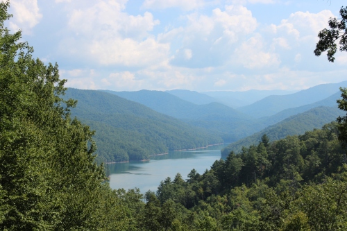
Fontana Lake
.
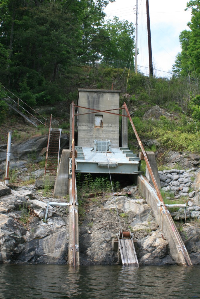
Fontana’s dam is shown to the west (left side) of the above Google map, if you follow the bottom shoreline from that the first large cove is where the Fontana Marina is located. The two larger ‘fingers’ above the marina area lead to Eagle Creek (L) and Hazel Creek (R) near the former town of Proctor.

At the Marina parking lot is where you will need to fill out some simple paperwork for spending time within the Smokey Mountains National Park (it’s free), the park borders the northern edge of the lake and Hazel Creek is within the Park.
Temperatures on this trip were low 90’s day and mid 60’s nights, plans were for this to be an easy six mile paddle one-way, with two-nights at Hazel Creek (ended up paddling an easy @ 25 mi total – Hazel first night, Eagle the second night), three days to paddle, ponder, and fish – whatever order.

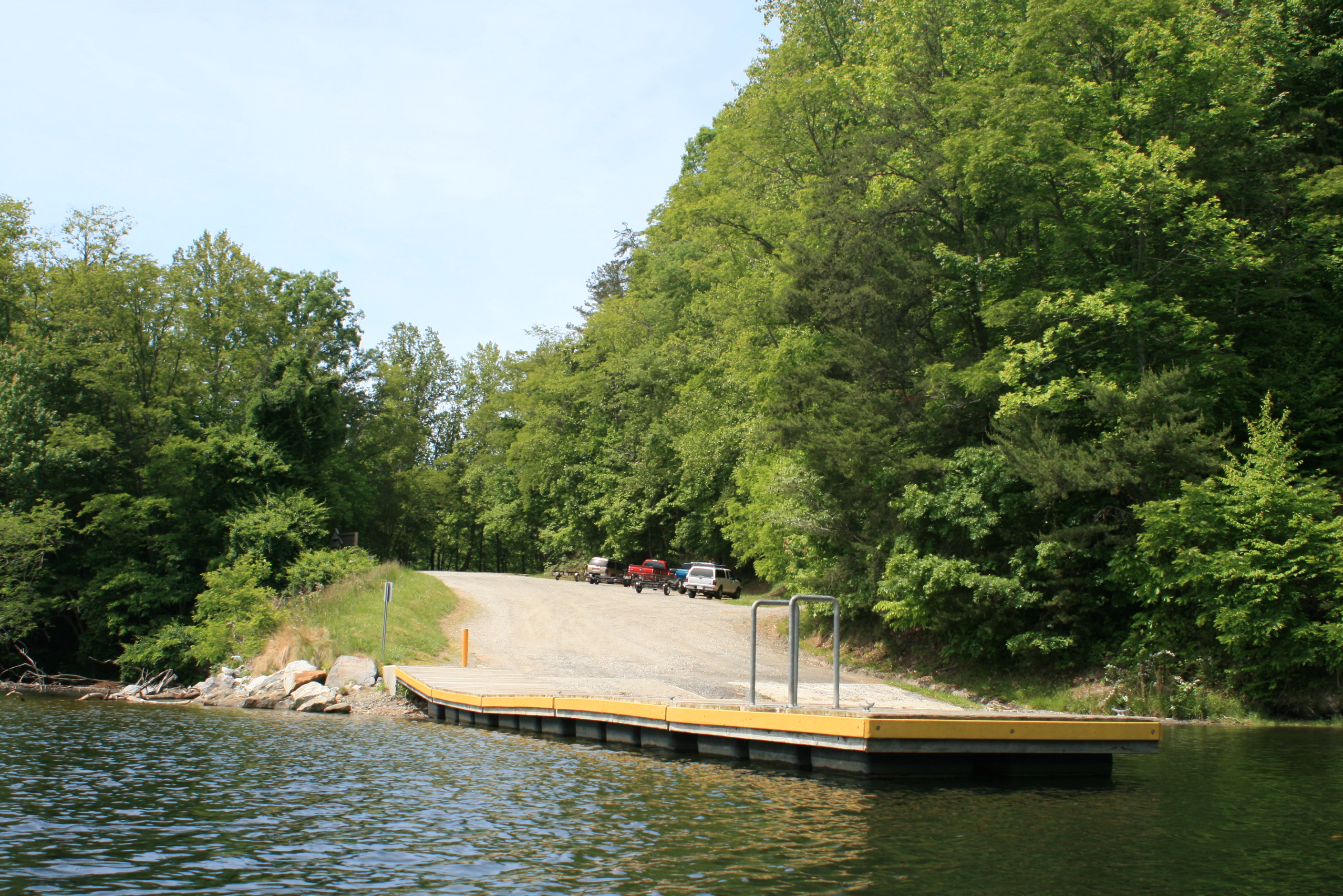
Fontana Marina
(GPS – 71 Fontana Dam rd, Fontana Dam, NC)
I would be paddling with my neighbor David whom still had a few more things to ‘wrap-up’ before leaving home – what seems to work for me is the “leave early, enjoy the ride” concept so I ambled on across the hundred miles to Fontana while stopping at any points of interest, junk stores, etc. If early, I’d just ‘hang-out’ around the marina and ‘feel’ the lakes presence?

With Fontana still almost at full pool (they drop it each winter) this lake is a pretty sight, plus in my little mind boat-landings are one of the most entertaining places to ‘hang-out’ (cheap entertainment) around the water. With traveller loaded and sitting at water’s edge out of everyone’s way – I walked the marina docks, popped out my folding chair, had a beverage, and calibrated. I pretty much ‘hung-out’ from there as I waited, in a very comfortable manner as folks came and went their ways – life is good.

Nearby is Fontana Village which I’m sure generates a good portion of the traffic here, the marina is a busy place, folks constantly coming and going. While waiting I noticed a number headed out for a day of boating, some taking the guided boat tour, and others just milling about.
The paddle group above from Knoxville was also a part of my entertainment, the Chota Canoe/Paddle club. It’s all so familiar to watch vehicles and boats unloaded, belongings organized, heads scratched on whether they have enough or too much, and then the loading part – I can relate. It reminds me also that groups naturally move slower (like Holton Creek) – we would encounter this group again at the Eagle Creek campsite (#90).


Fontana Marina Outer Dock
The marina has a clean and simple store with basic necessities available, they also rent kayaks and pontoon boats. I spoke with Ken, also retired from the City of Asheville (Parks and Rec) and now pilots the shuttle Miss Hazel – friendly and informative folks.

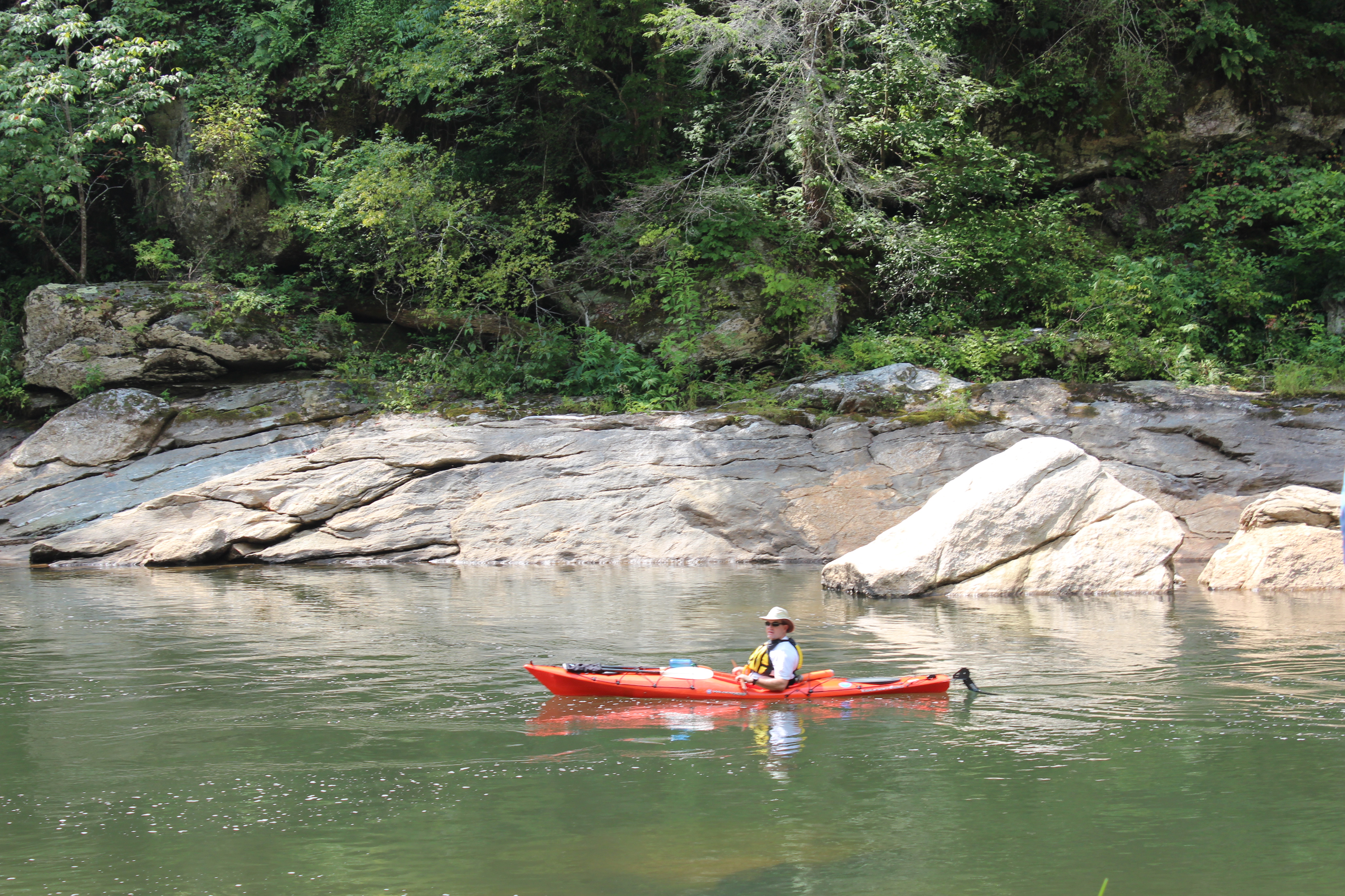
Peddlin, er paddlin David.
Maybe initially this trip was about paddlin, then in reading more about the area (early 1800’s, civil war loyalties, towns displaced, etc) I found the history intriguing, somewhere in all this the fly-rod came into consideration. The lake was too large to see and paddle (11,700 acres) plus some area lakes can have a certain rhetorical quality about them, but the added incentive for me was to visit Hazel creek.
The history plus a number of my AFD cohorts making an annual week-long trek up Hazel Creek to fish had me curious – so I found purpose, an objective, along with finding time on recent paddles for my fly-rod.

AFD 2010 fishing team; B. Metts, S. Hare, K. Edwards shown
Each year these friends (above pic) use the Miss Hazel shuttle to ferry their cart to the Hazel Creek ramp, from there they then push this cart a mile or so further to one of the upper camps. In the period of a week they ‘lighten the load of the cart’ while catching a fish or two – maybe I will also.

Hazel Creek sign

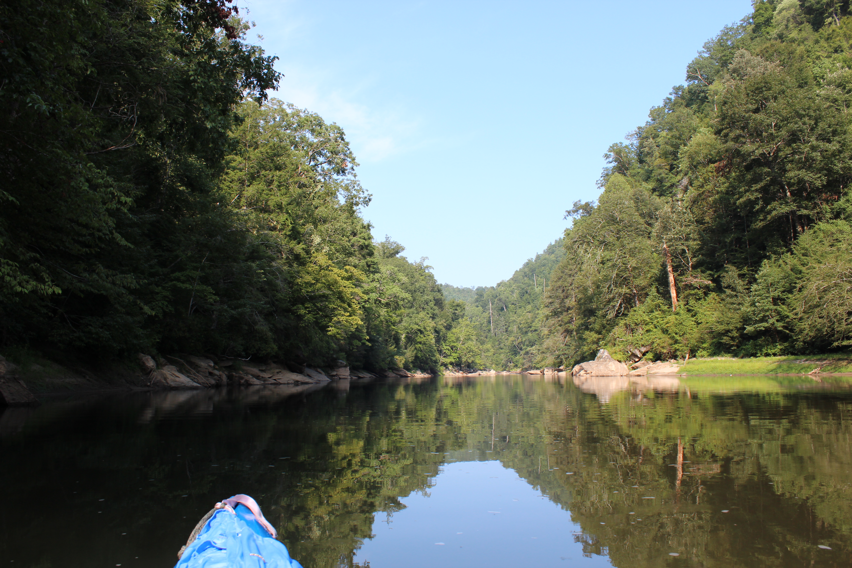
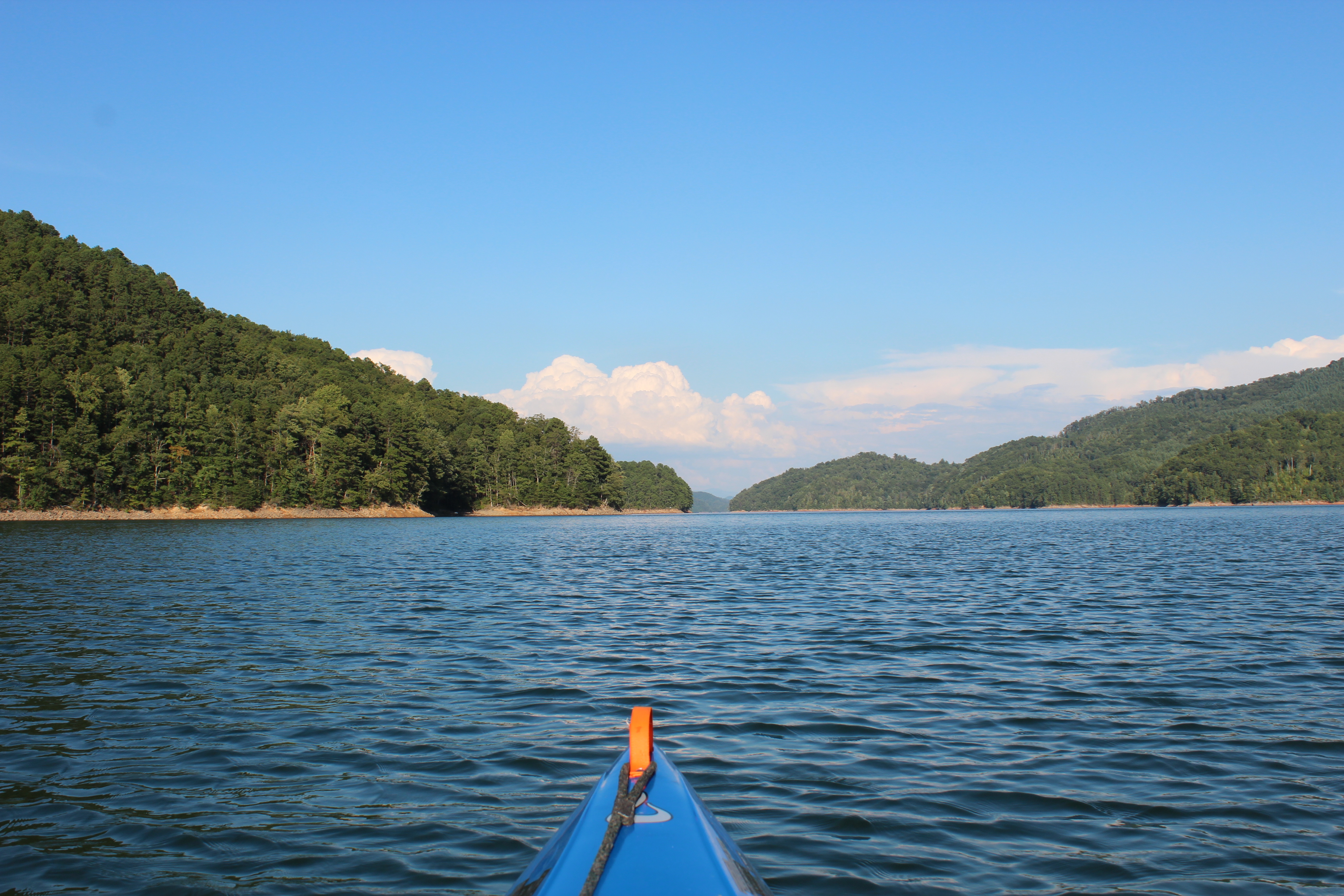
Hazel Creek begins with a dead-east heading from the marina, it was late afternoon as we paddled out.
.
.
The shadows were growing long as we made the gravel ramp at Hazel Creek,


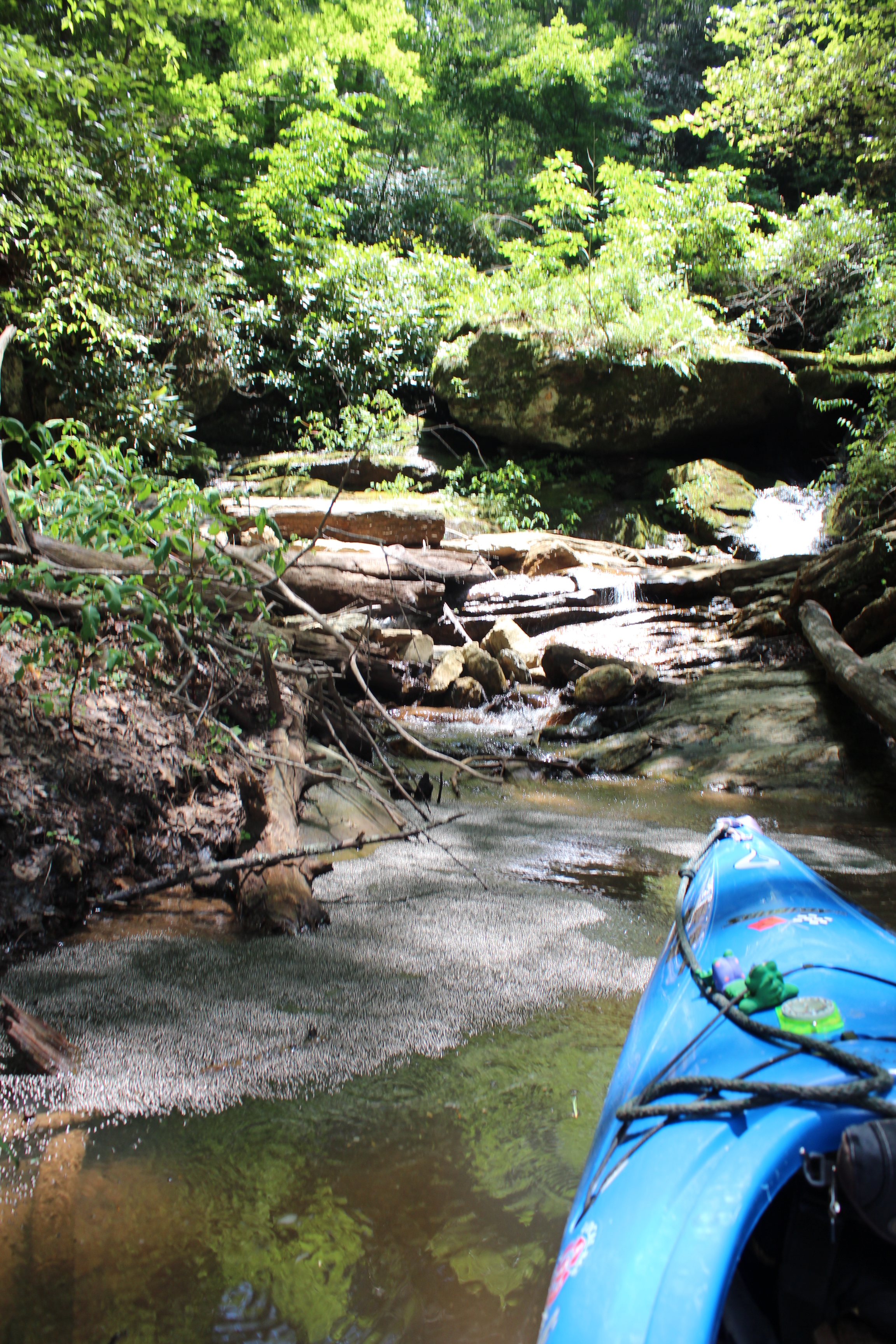
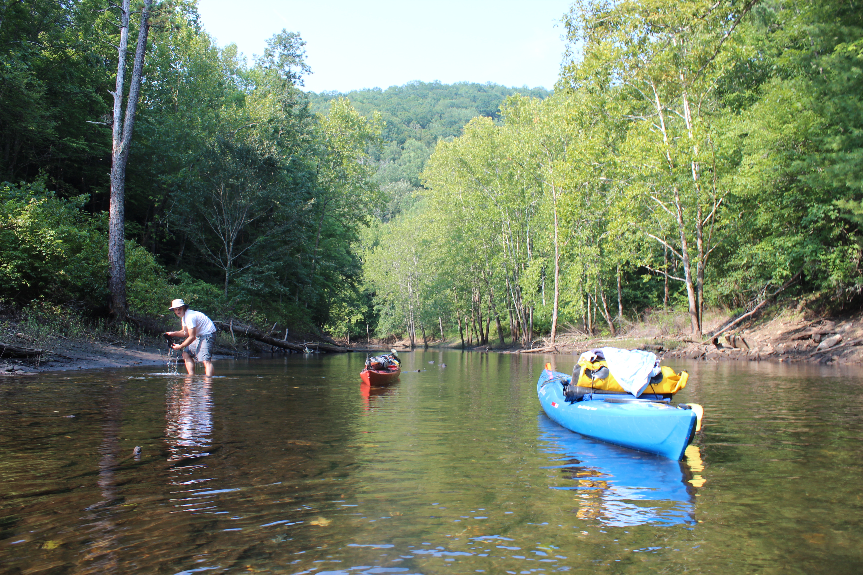
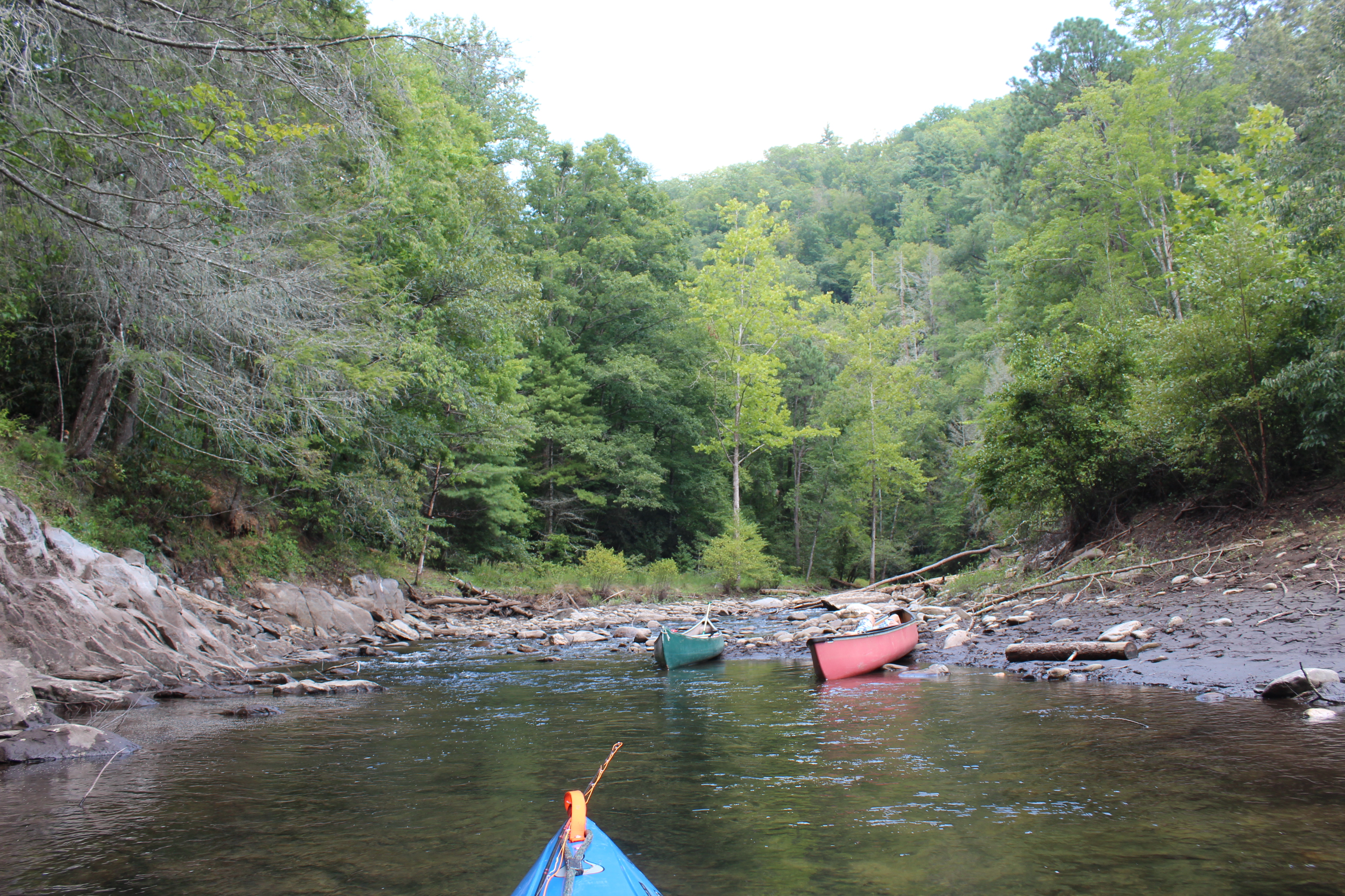
– we paddled as far as we could before finding that it would be a 1/2-mile walk to campsite 86. There were several canoes back at the gravel ramp, no signage – likely the best place for paddlers to leave their boats – bring some wheels if your mission is to spend a few nights.


With no immediate camping and the black mud from the lake being lowered a few feet, I was beginning to think that this trip might just have to be marked up as one-for experience. But “it is what it is,” and we left the yaks in a flood plane for the night and made two-trips in carrying only the most necessary gear.

Camp was well used, not bad with food storage hangars in place, it was evening as the tents were set-up. I investigated the creek with some bio-soap, then we each ‘congered up a hot meal.
When camping along the way and putting paddling miles in, its not unusual to be down at dark and up at first-light, but this was a little different – David and I sat up well into the night lightening our beverage load – then when we found ourselves telling stories twice, we crashed.
Slept great, as I mentioned the site was well used, not perfect, but its a mighty remote and peaceful area.
Somewhere too in the nights discussion we considered the paths of ‘fishermen’ and ‘paddlers,’ and that we were probably more on the paddlin side of the gauge. So with our kayaks 1/2 mile away in this less than ideal spot – lets paddle and fish the next day on the way to Eagle creek – where in the end we would know more about two campsites rather than just one.

I am better-off for the paddle to Hazel Creek – when I return I will have my cart and enjoy it in a manner in which I have prepared for – paddlers or campers, take a cart to Hazel Creek.
The big plus of paddlin for me is the mornings, the peace is definitely a large part of why I am here – we were up and out early.

I knew that David enjoyed biking, he also liked fishing and paddling – a good-sport all around.

 stuff in-between.

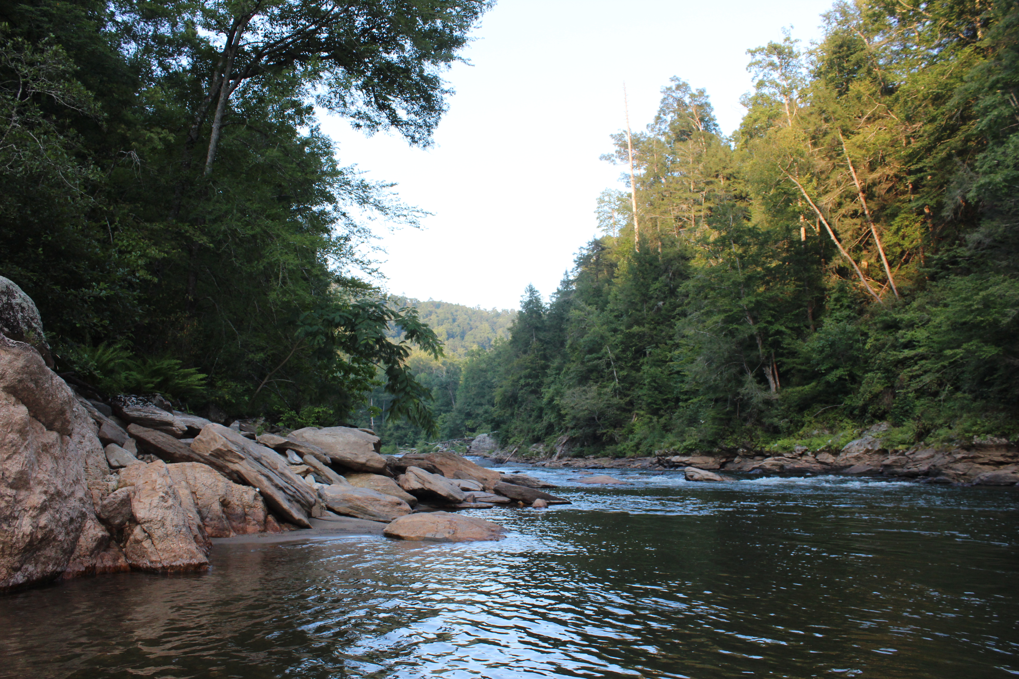
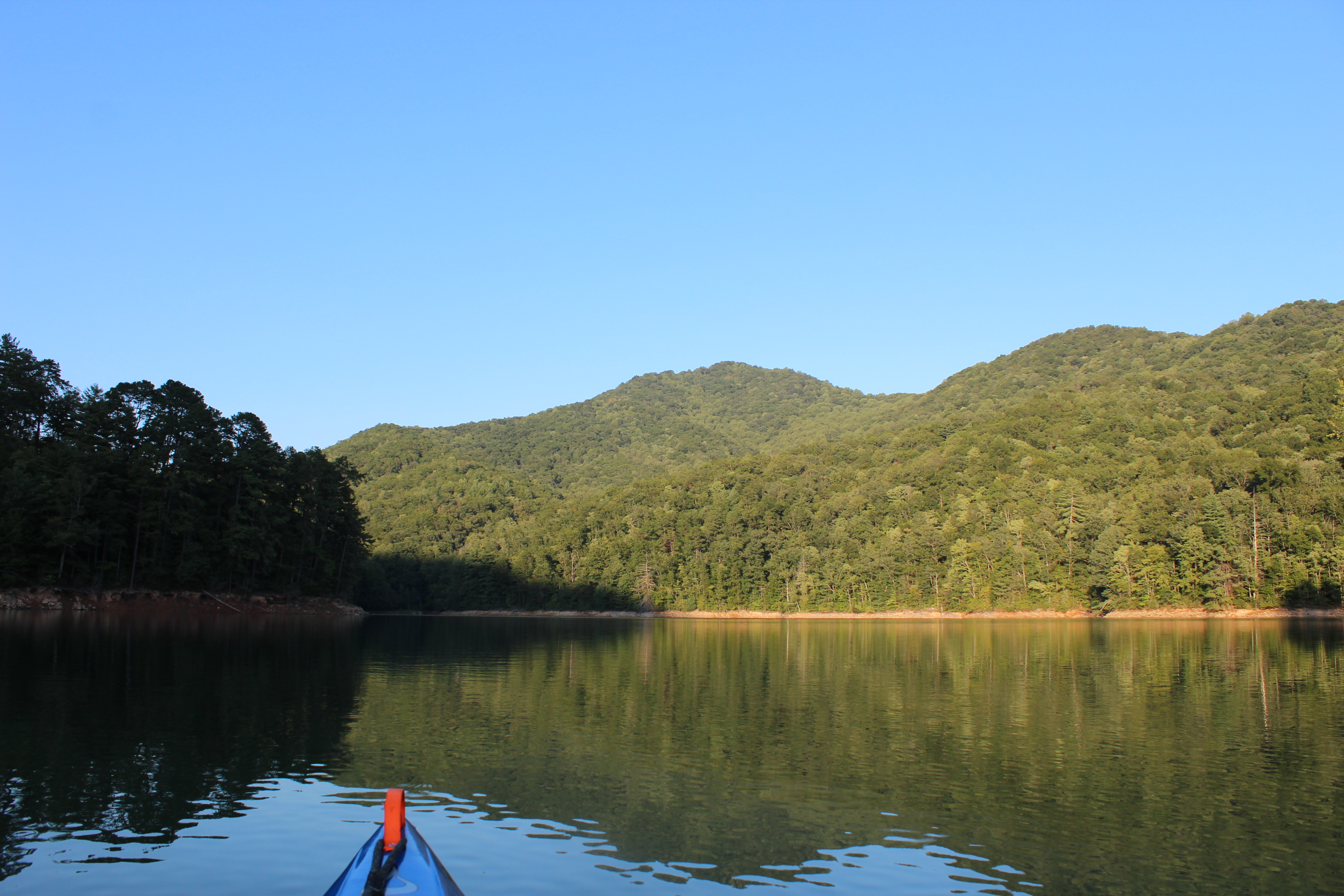
The exposed geology of the shoreline can easily draw your attention, where the earth now lays bare from the waters action, the layers of sediment and eon’s of time are laid out for the gander.

The Great Smokey National Park


Within many of those layers of exposed sediment, there are also sporadic yet distinct layers of striking white quartz – varying in thicknesses but usually in the shape of a ‘layer.’ This particular quartz was unusual because it was like ‘two round shots’ of quartz had been violently fired into the sediment, splat. As with my paddle at lake Powell, the active geology of 800 million years ago remains to be noticed.

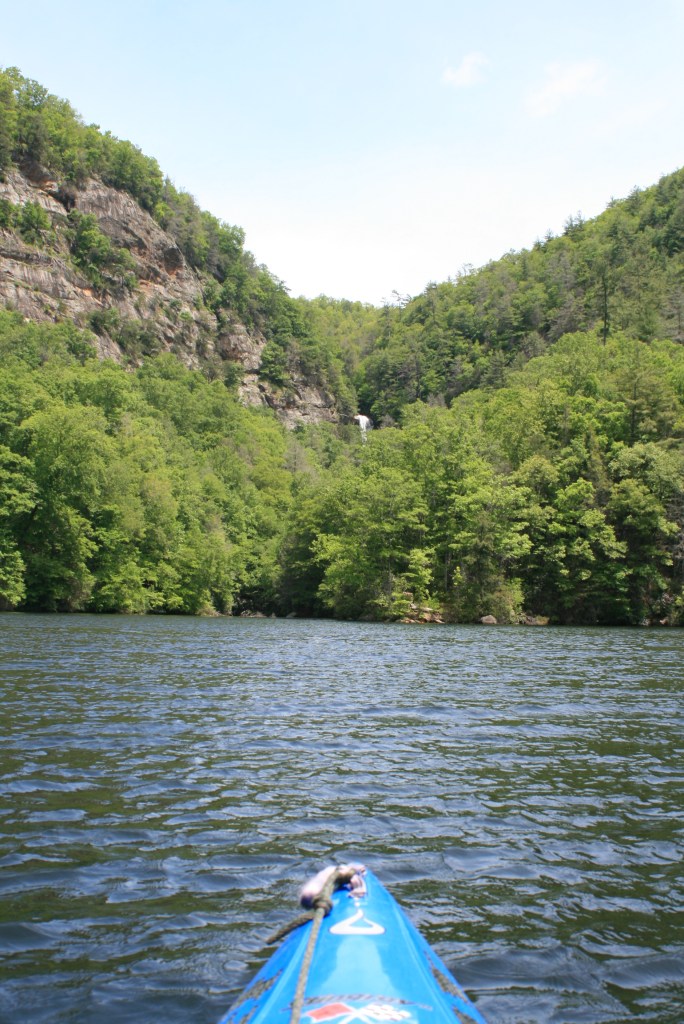
These thoughts also had me recognizing that the paddle towards Eagle creek was more scenic than that to Hazel Creek.
.
.

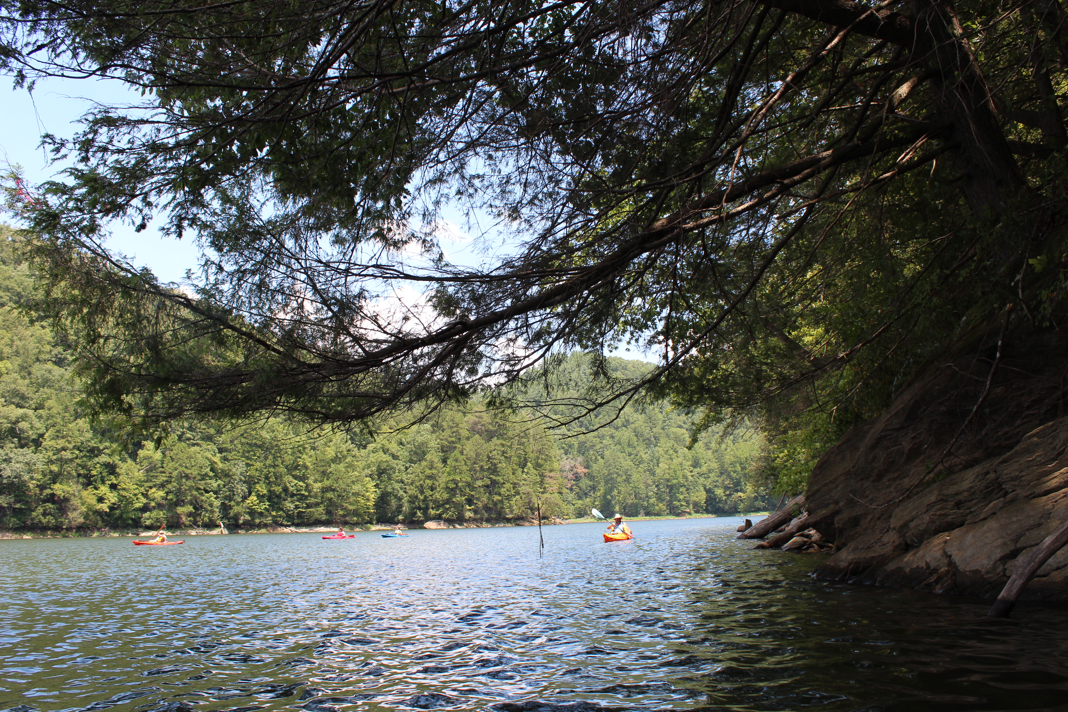
Chota Canoe bunch
As we neared Eagle Creek, the paddlin group from the landing was doing what all good paddle clubs do – their rolls, wet exits, and so -on’s. Generally with flat-water paddlers I believe these are less necessary, yet I do understand that they are objectives that some (sheep) need. As for adult flat-water paddlers that are comfortable around water I personally do not think a PFD should be mandated – by anyone! So yes, I kinda enjoyed the ‘rebellious’ feel as I passed within the structure of the ‘rule-bound’ kayakers.
Somewhere within it touches a nerve when a ‘club’ has you sign a waiver releasing them of all responsibility – and then mandates a PFD within serine flat-water settings – I simply do not fit into a flock (and I do have one aboard wearing it when/as conditions apply).

As far as David and I could paddle up Eagle creek, sometime in the afternoon – it was a good pace of paddling and the right decision to move on from Hazel Creek.


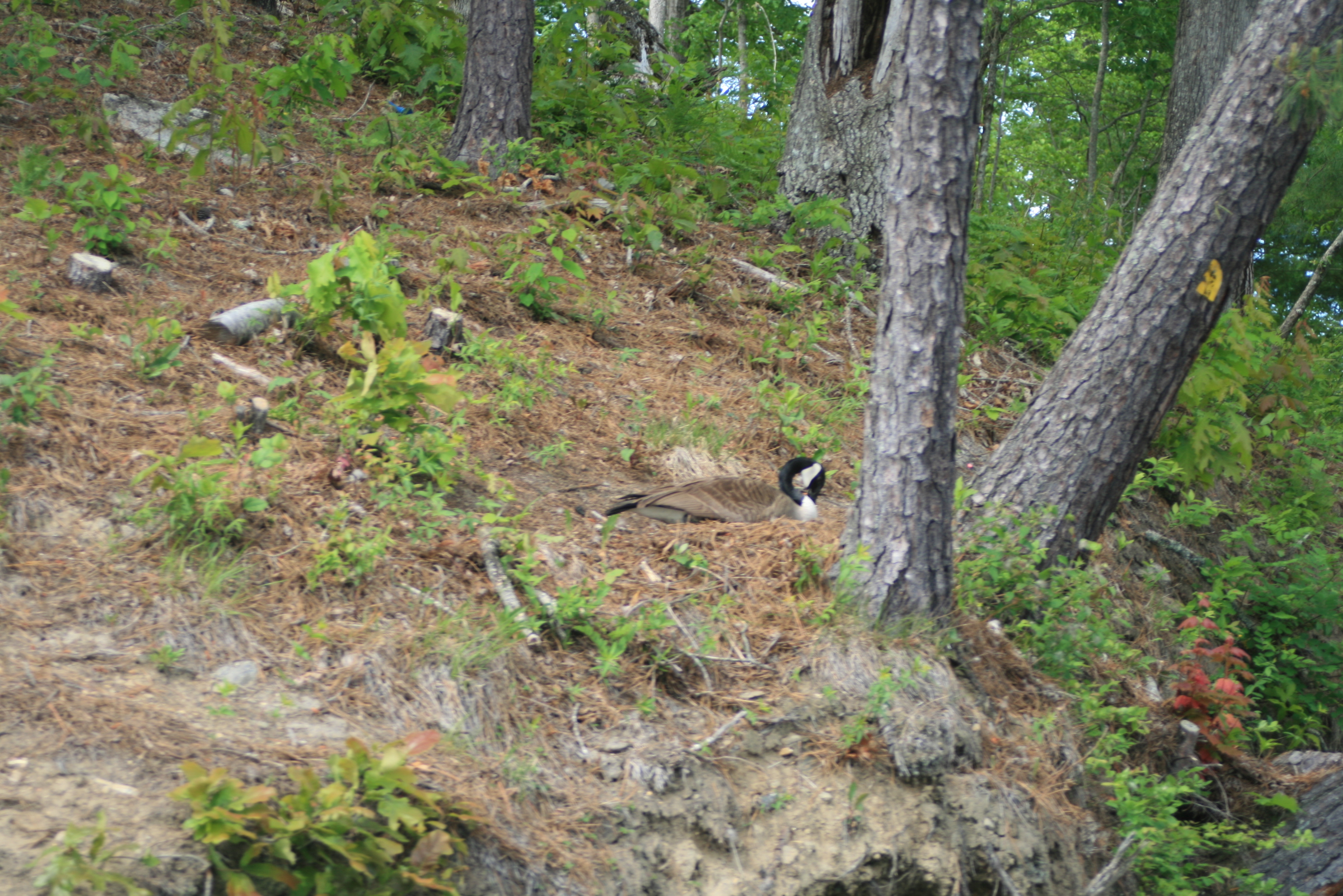
The campsites of Eagle creek (90) were much nearer waters edge, a big improvement for a paddler – plus when the notion came, fishing could be done with just a few steps – even had a babbling brook running between us and the other campers. On this trip bug’s were not an issue at either Hazel or Eagle creek campsites, low 90’s during the day and mid 60’s at nights.


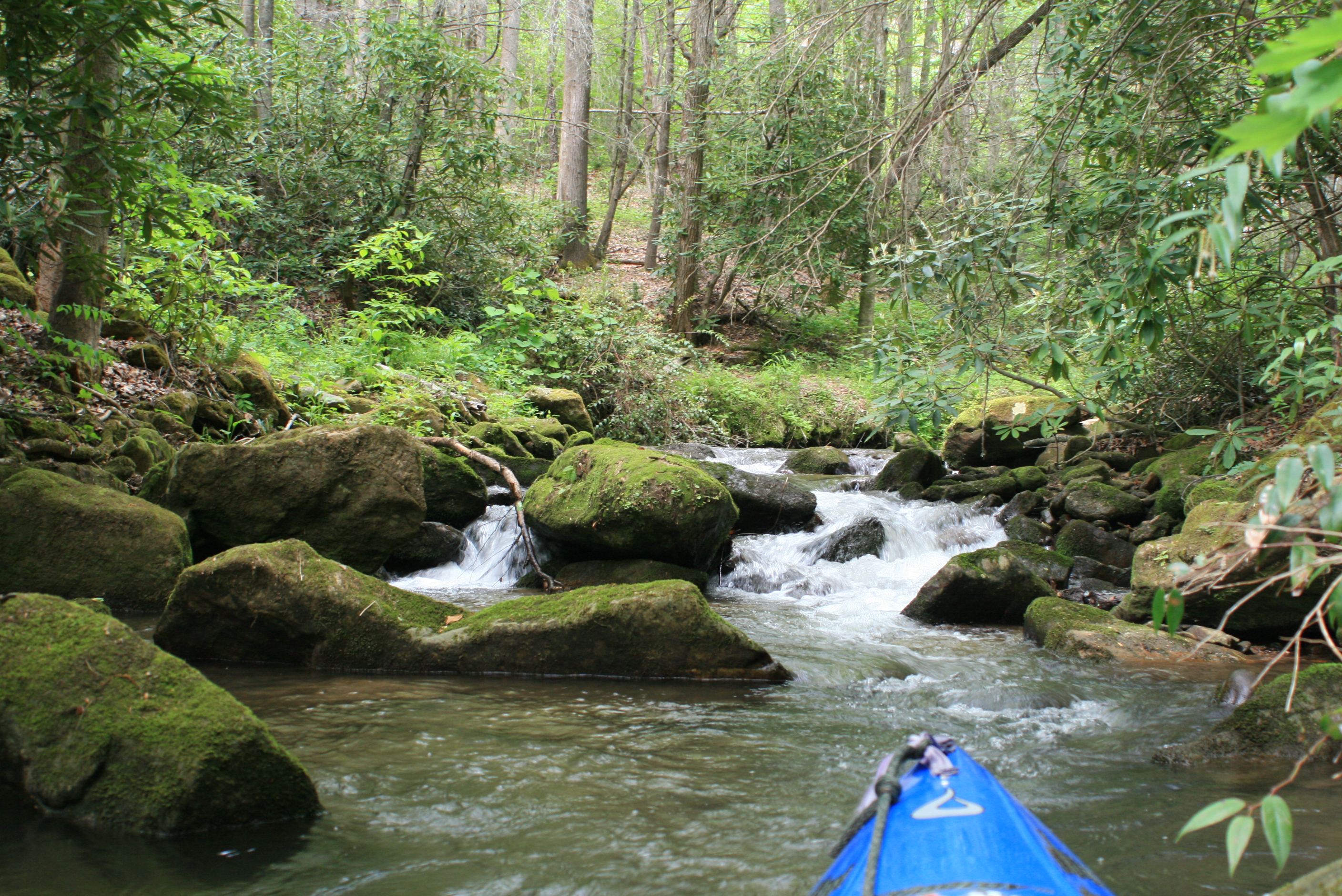
Also through our campsite ran a foot-trail (once a rail-bed) in a short distance an old iron bridge crossed Eagle creek
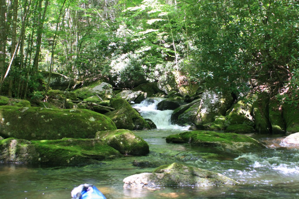
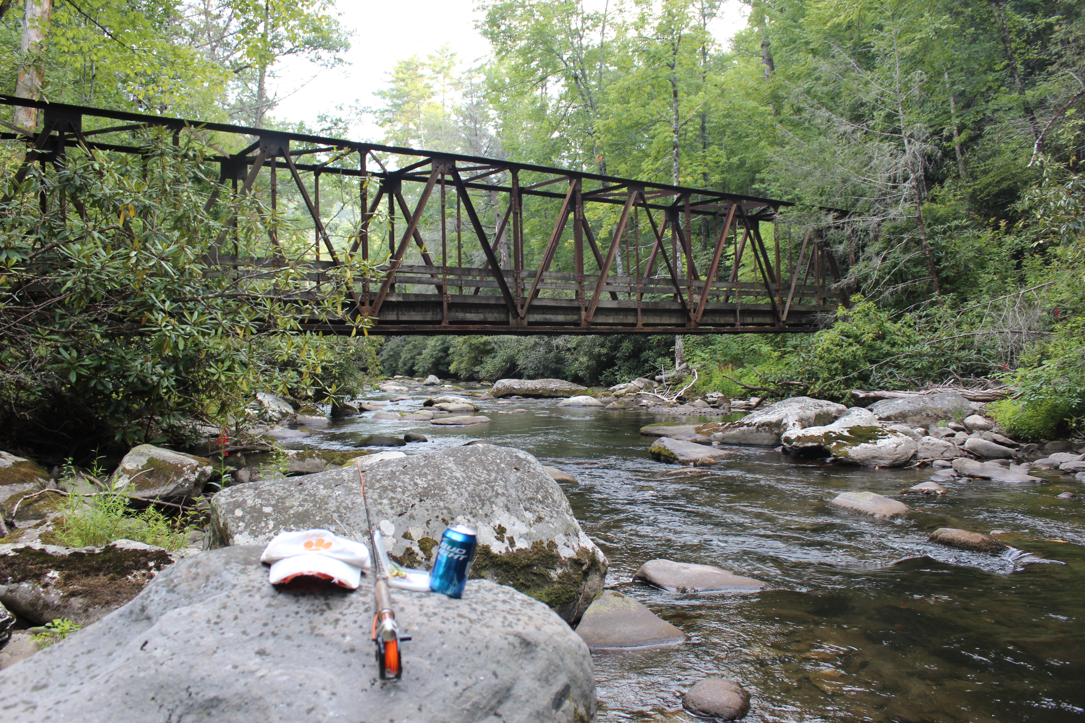 and that is where I found the other parts to why I came. It felt good standing on the rocks or along the water and working the fly around the rocks and within the current – good experience. Simply-put there’s lots to know and I don’t know it, but I do know this – I can get there.

We enjoyed some campfire time with the canoe club folks (takes longer for stories to come up twice) and then somewhere during the night a steady rain came through. It was within this great sleep that a nearby tree slowly creaked, craaaacked – and then suddenly let-go – whosh! boom! thud! all in one. I think I was sitting straight up in the tent between the whosh and thud…. figured I could reach outside the tent and touch it – but the next morning found it to be much further away.
– reminded me of sleeping near a railroad track once in the semi, whew.

 With morning duties complete and traveller loaded I eased into the water and paddled from camp, at first fishing the immediate area and watching the group as they slowly stirred – one or two loading their boats.
I mentioned to David about where I would likely see him and moved on. The picture above shows the cool blue vapor of the chilled creek water seeping out onto the lake from a small cove.


David was good paddling company, there was little concern for each other and for the most part we made our own trails meeting up every now and again between one point and another.
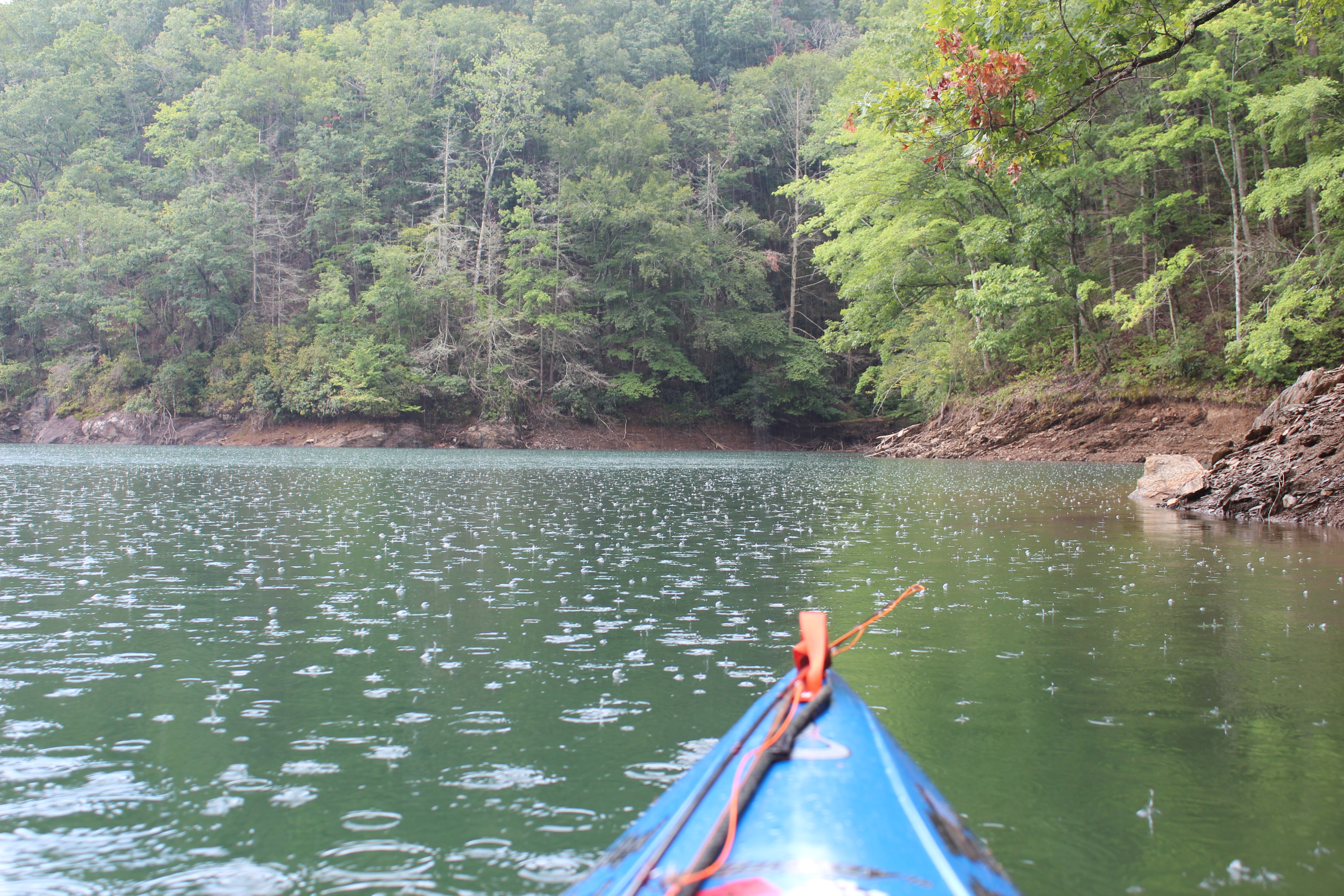
a passing sprinkle

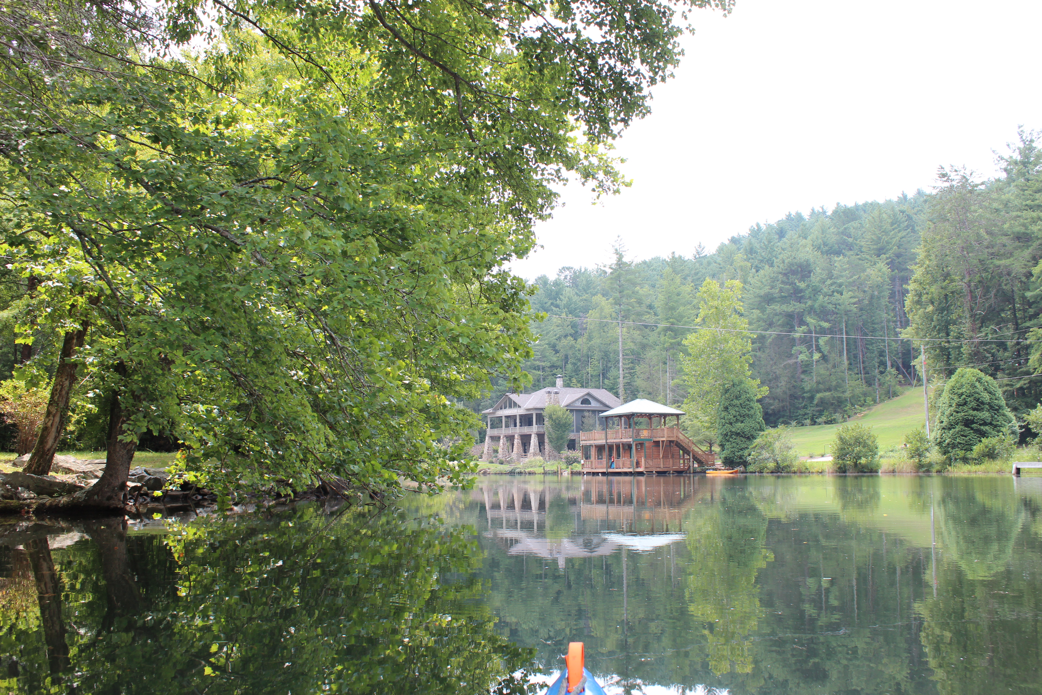
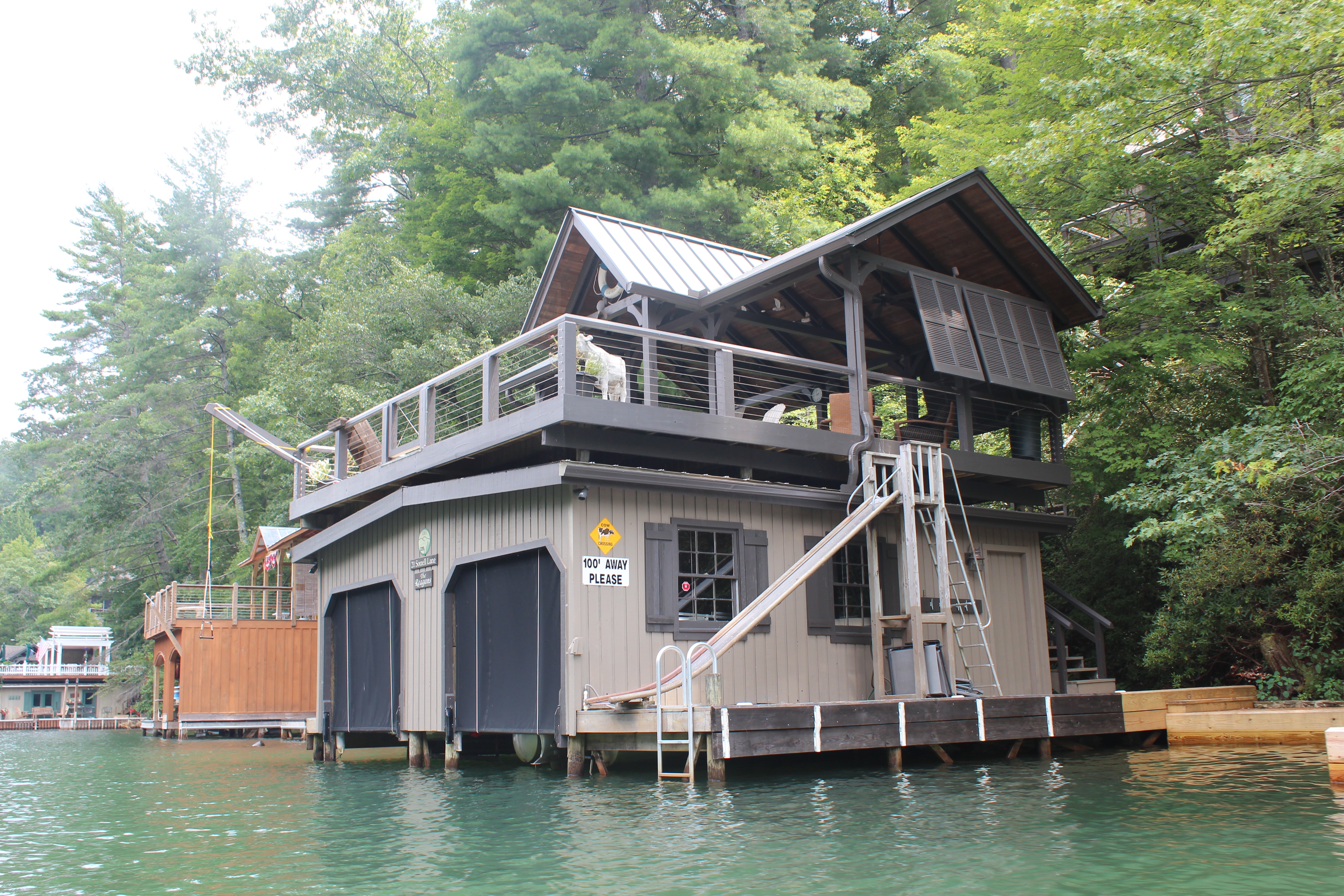
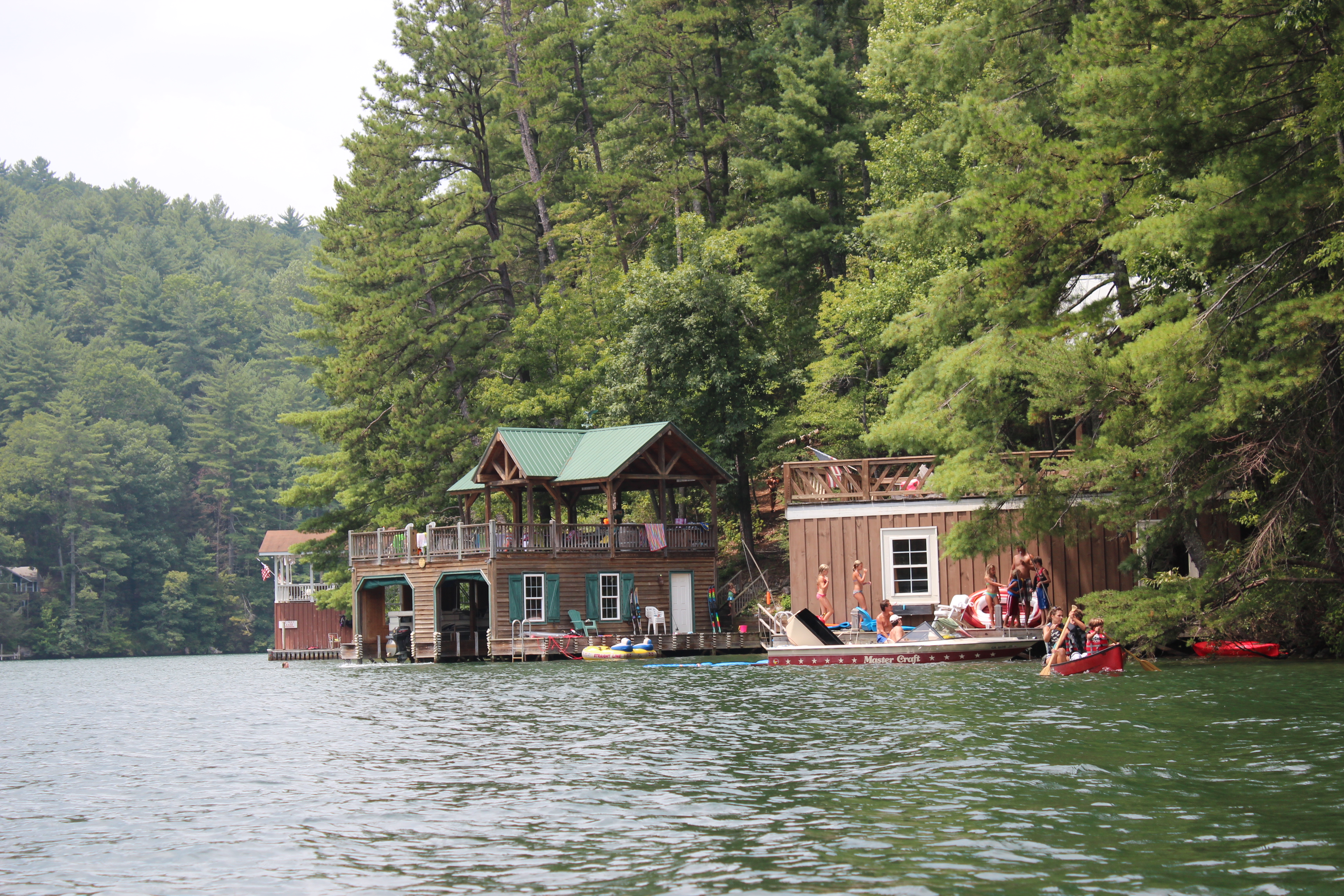
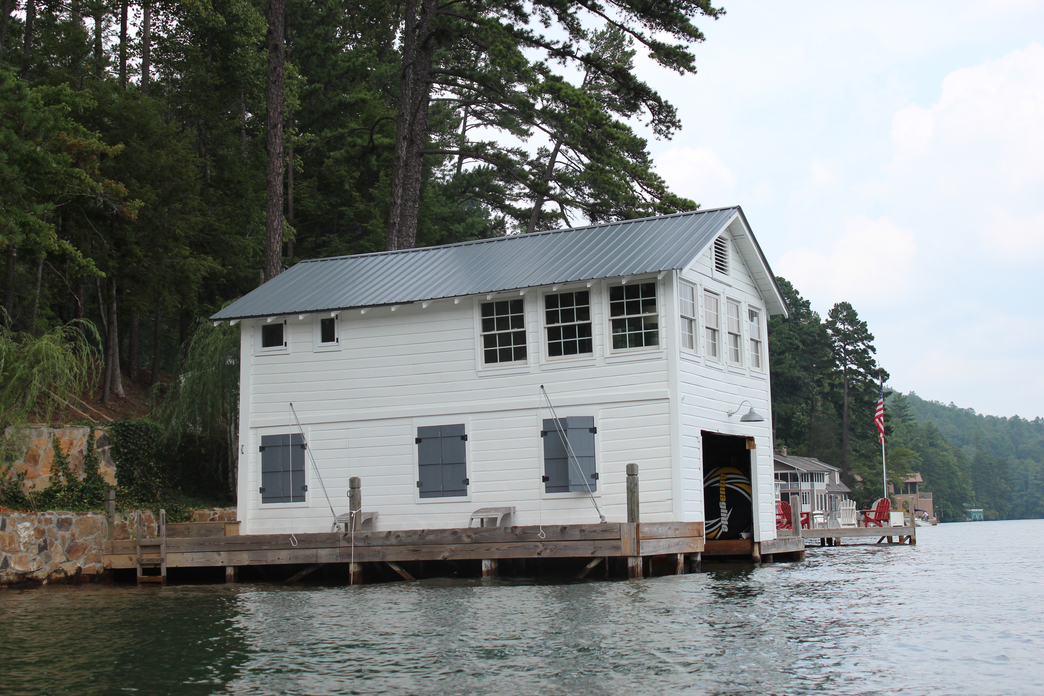
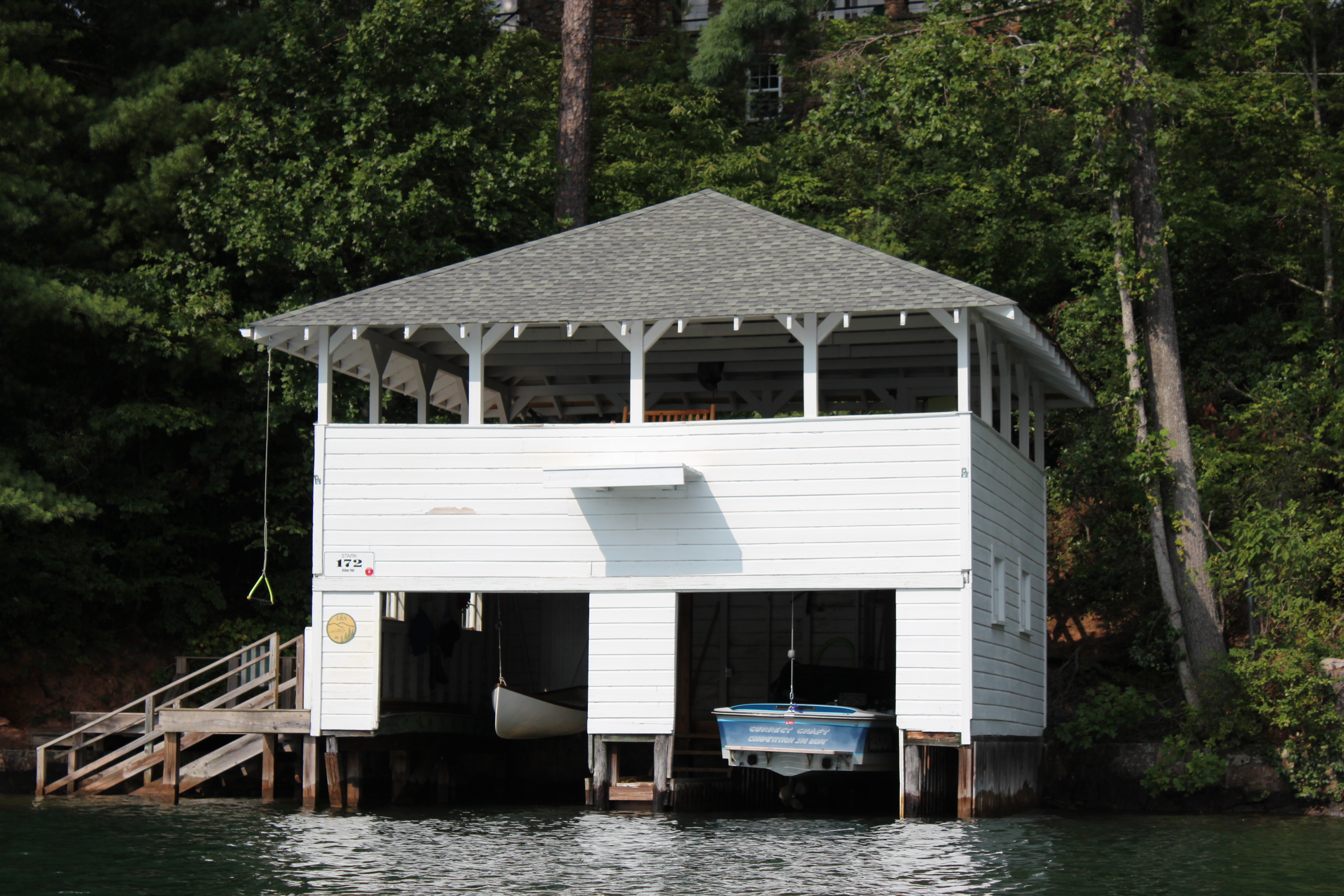
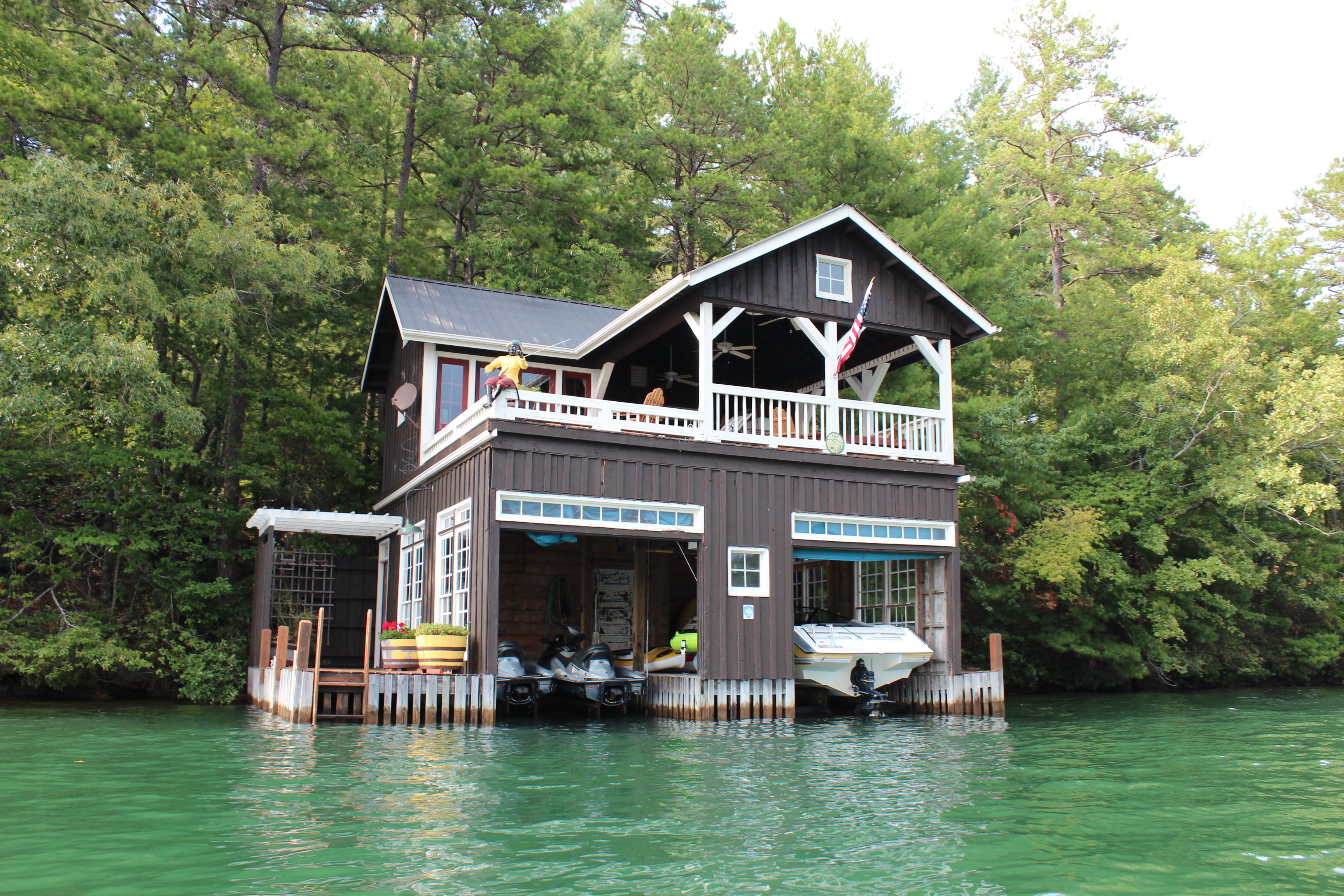
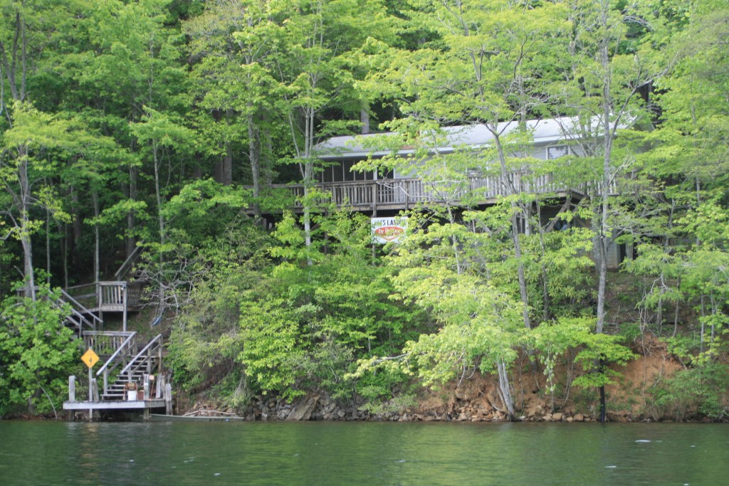
 – an easy Sunday morning paddle through a number of coves, eventually returning to the marina’s cove – where simple yet real ‘floating’ cabins exist. I could only imagine the adjustment needed as the waters recede each year.

It is true that I did not accomplish exactly what I set out to do at Hazel Creek, but in the end I actually accomplished more through the experience of paddling Fontana and visiting the campsites.
Fontana is a large and scenic lake bordering the Great Smokey Mountain National Park, campsites are primitive and well used, rangers do patrol these and fines are assessed if a camper has not ‘checked in’ (signed in) or is careless with their campsite (leaving food, etc. out). Some sites have been closed due to bear presence or warnings posted from bear sightings – this information is available and posted at the sign-in stations along with maps with camping sites indicated.
Cell service is limited and sporadic, I was able to pick up verizon from the marina dock – not the landing nor the campsite.
The water clarity is excellent, but the lake level when lowered could influence a paddlers plans during the winter months (climbing up a muddy shoreline).
Certainly this paddle could be reduced in time to a day or a single overnighter, but for this trip it was just fine as a three-day paddle.
.