Post 3 of 4
THE SUWANNEE RIVER GRIN
Live Oak to Suwannee, Fl – The Gulf
Day 5 – Ivy Park at Branford to Gornto Springs Park (rm 76 to 55) 19 mi
.
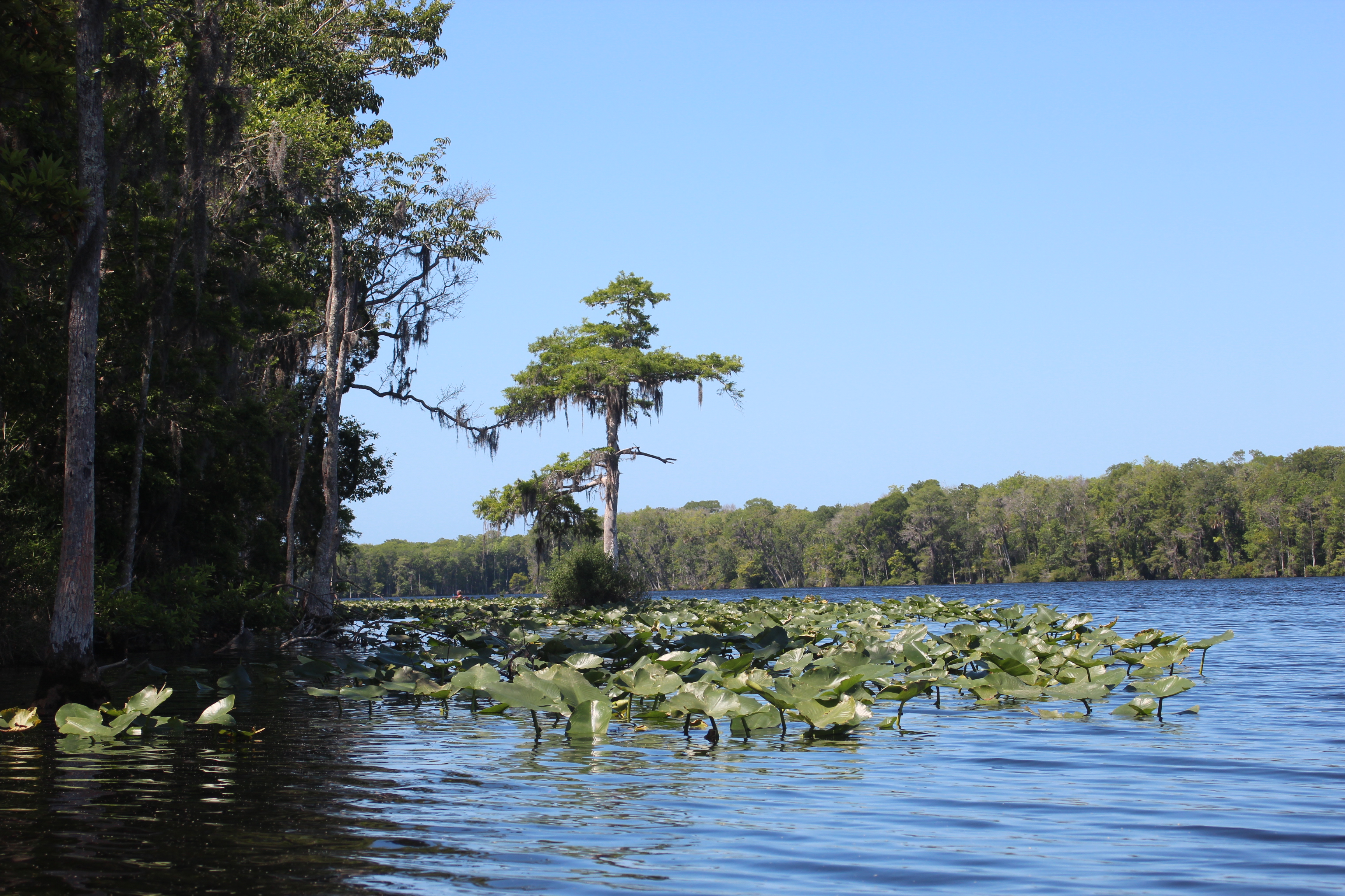
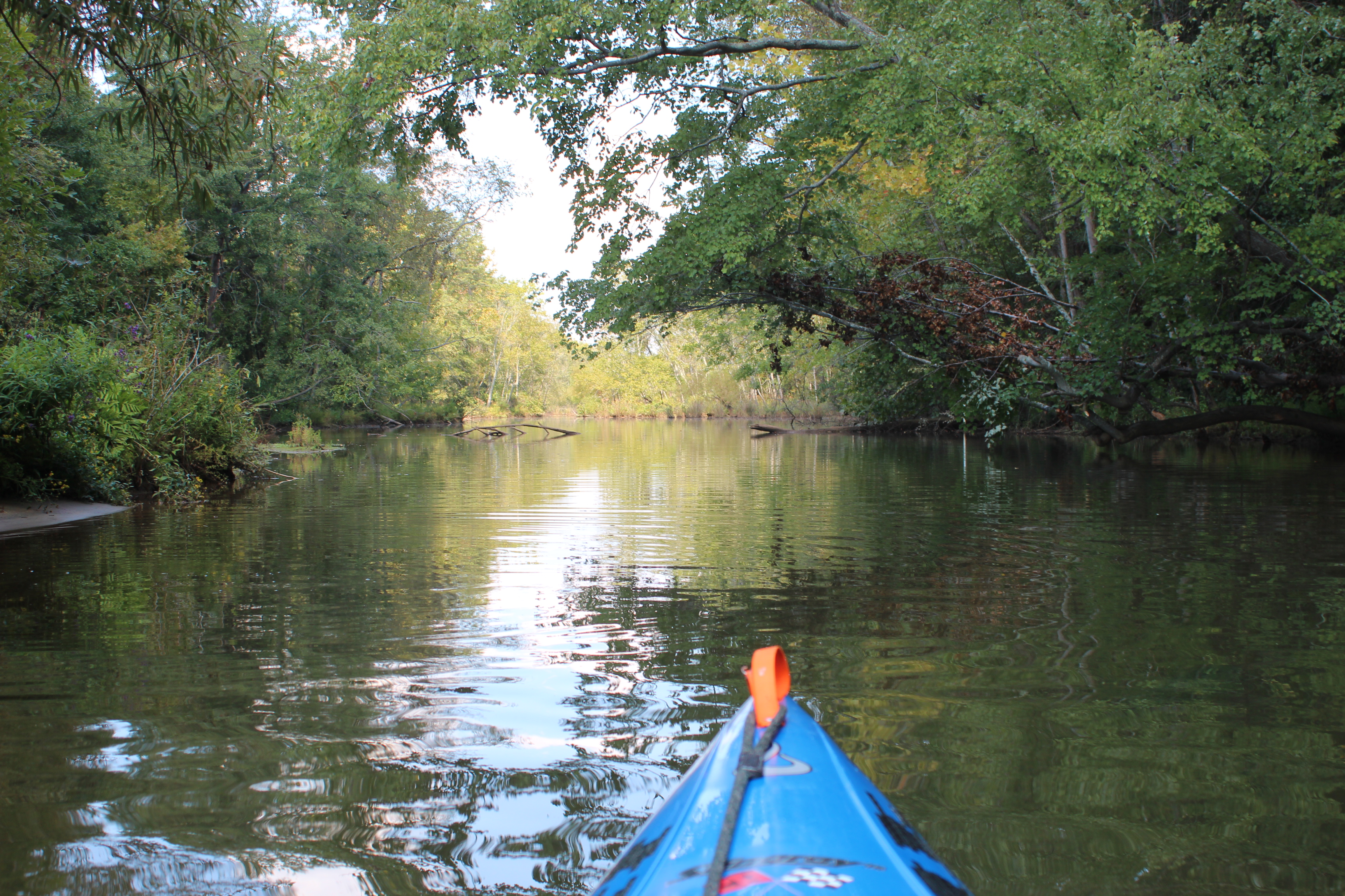
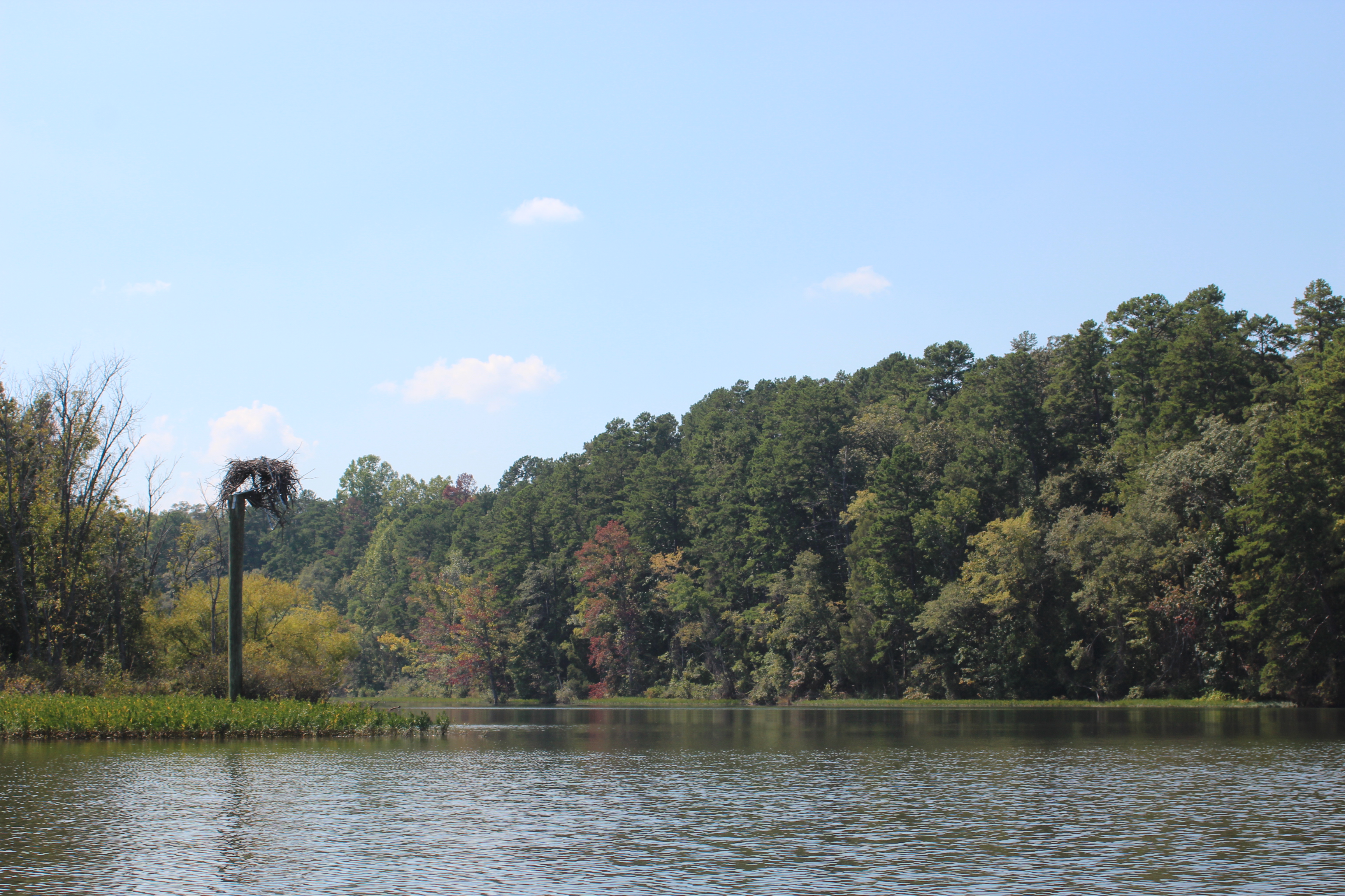
Ivy Park, Branford
.

Land food. Branford was a great night’s stop with ‘ballast’ readily available in walking distance. After a filling ‘ballast-buffet’ last evening at Nell’s we were up early for breakfast and coffee at Hardee’s, just over the fence…
With our gear stowed and boats in the water we were once again sitting on the river before 8am.

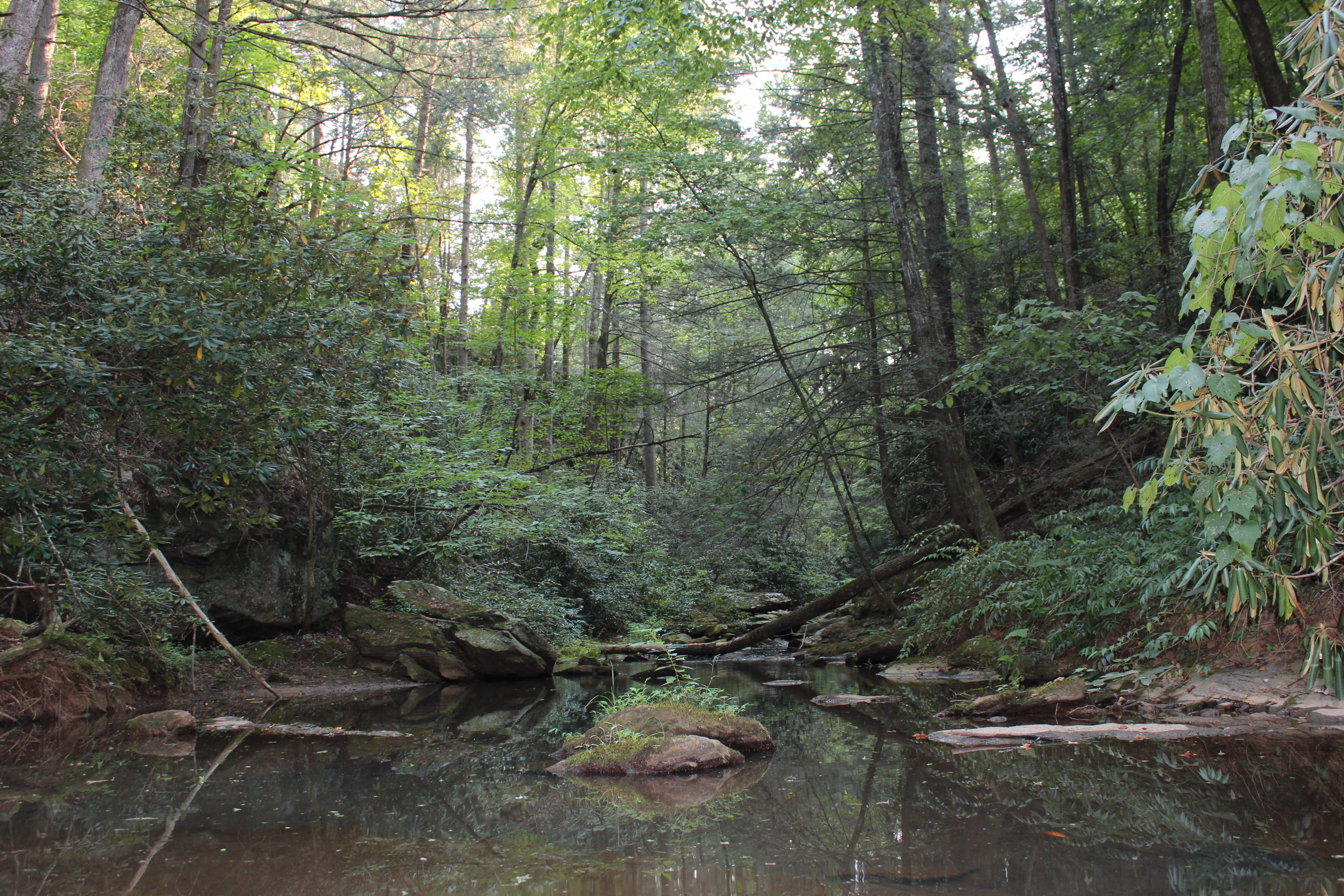
Serenity in the mornings; the most peaceful of times.

.
As I paddle on there is time to reflect on the statement that a special person once made to me – about making such a trip; “that’s the last thing I would ever want to do.” I was stunned, immensely disappointed and even hurt by the reply (rmo).
Like ‘water under the bridge’ things work out – and at this moment I appreciate the fact that there are fewer folks on the river – fewer ‘waves’ to ‘rock-my-boat.’

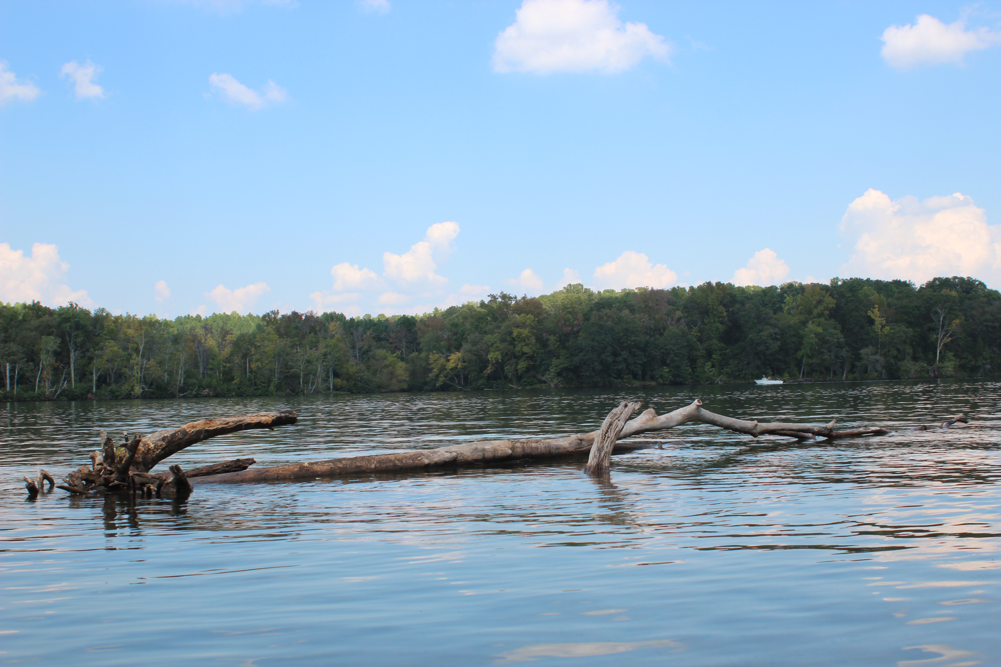
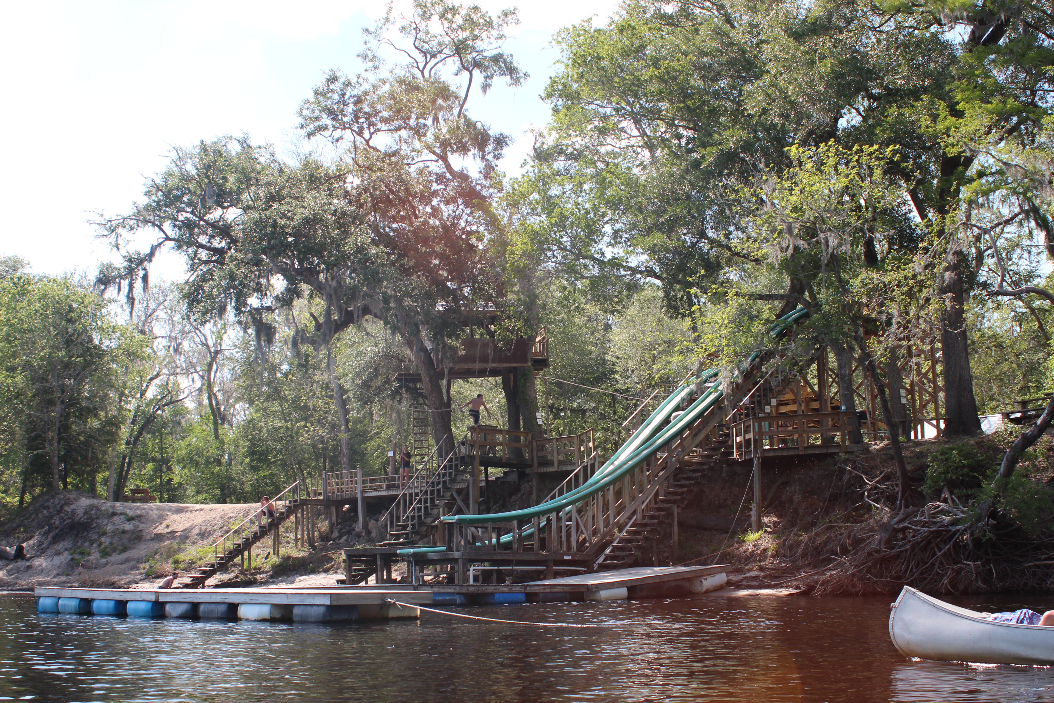
– along the way there’s always plenty to ponder, how’d that boat get there? Why did they build that dock like that? – an ice machine on the dock? (honor system) – all kinds of simple stuff to keep your mind busy. There is plenty of improvisation and creativity along the shoreline.
– along rivers I find an absence of intersections, cars, gas, work, – or doggone people. ‘paddling’ is a fine place to ‘unplug.’

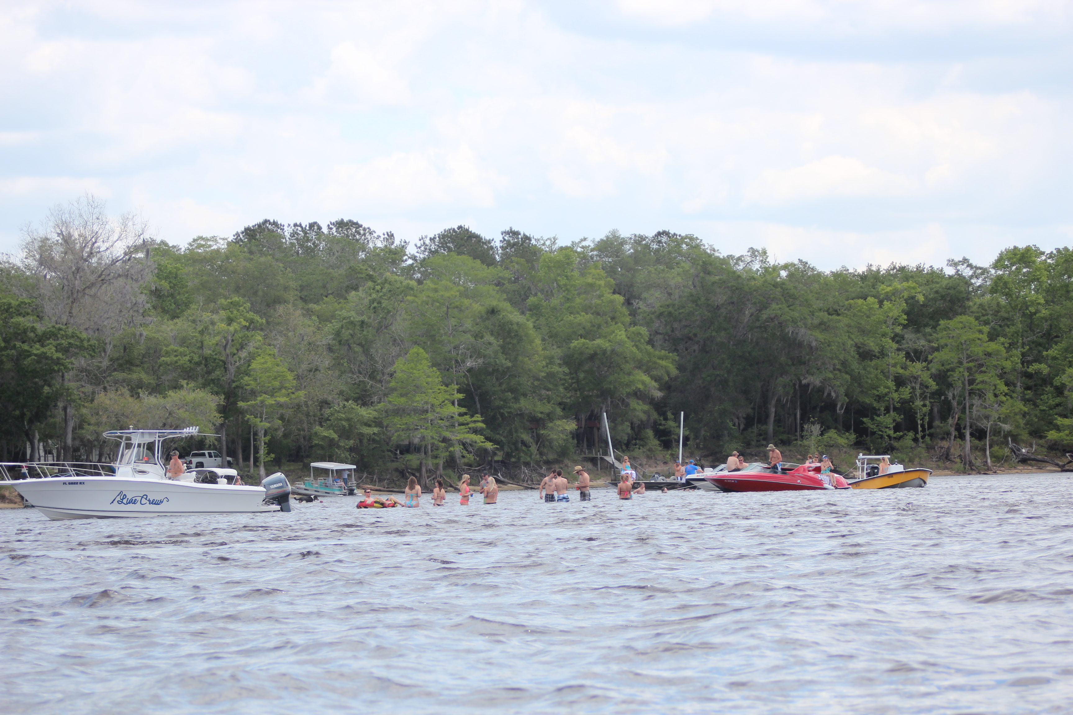
This was a Saturday morning, and even thought there was plenty of calmness – I knew from past paddles that below Branford on weekends could be an active place.

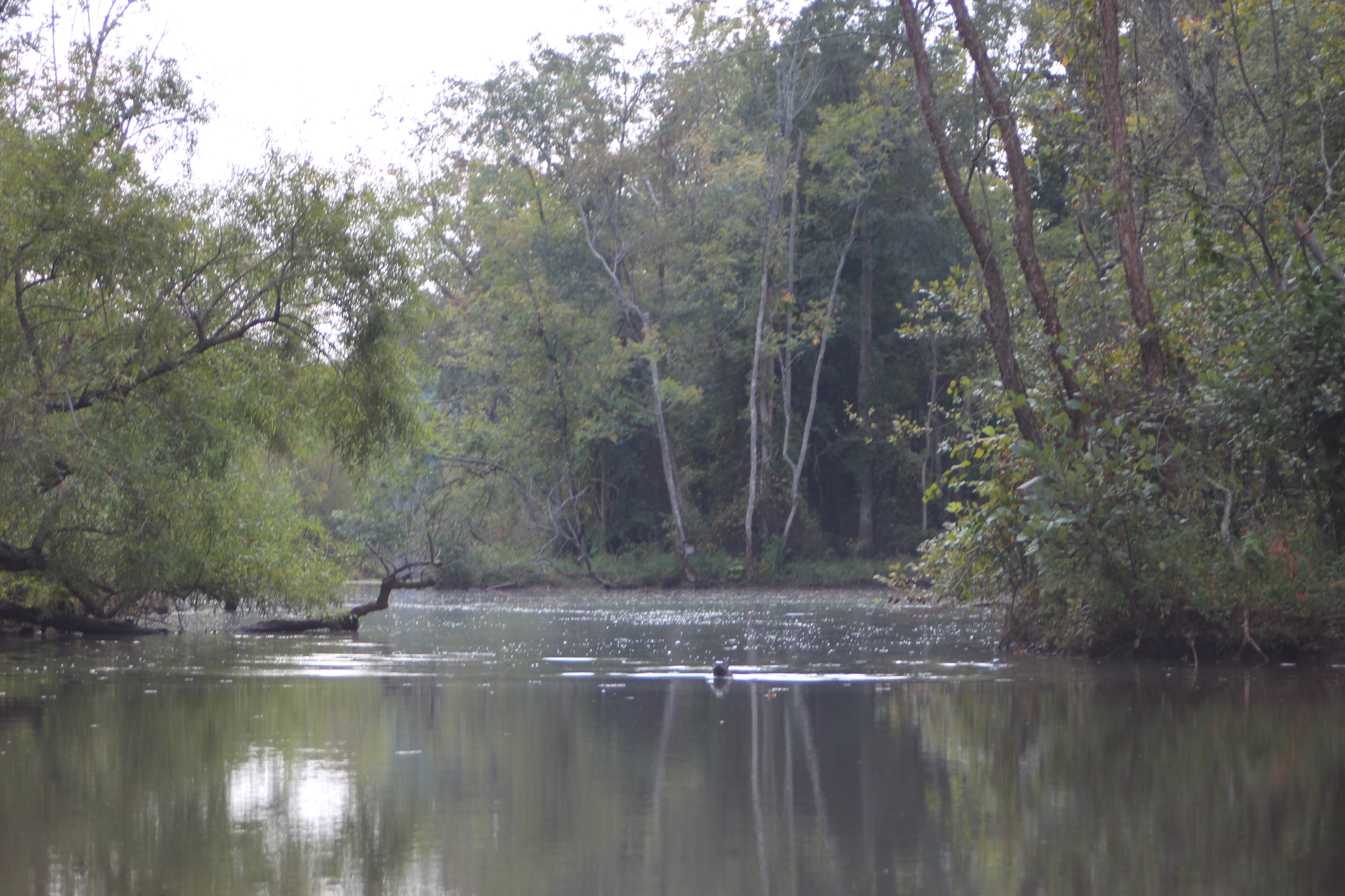
It’s not at all unusual on weekends to find the confluence of the Santa Fe river packed with partakers and party boats – on this date it was eerily deserted for our lunch break. At the right water level the difference in with the water clarity of the Sante Fe can be stark – and inviting, jump in.
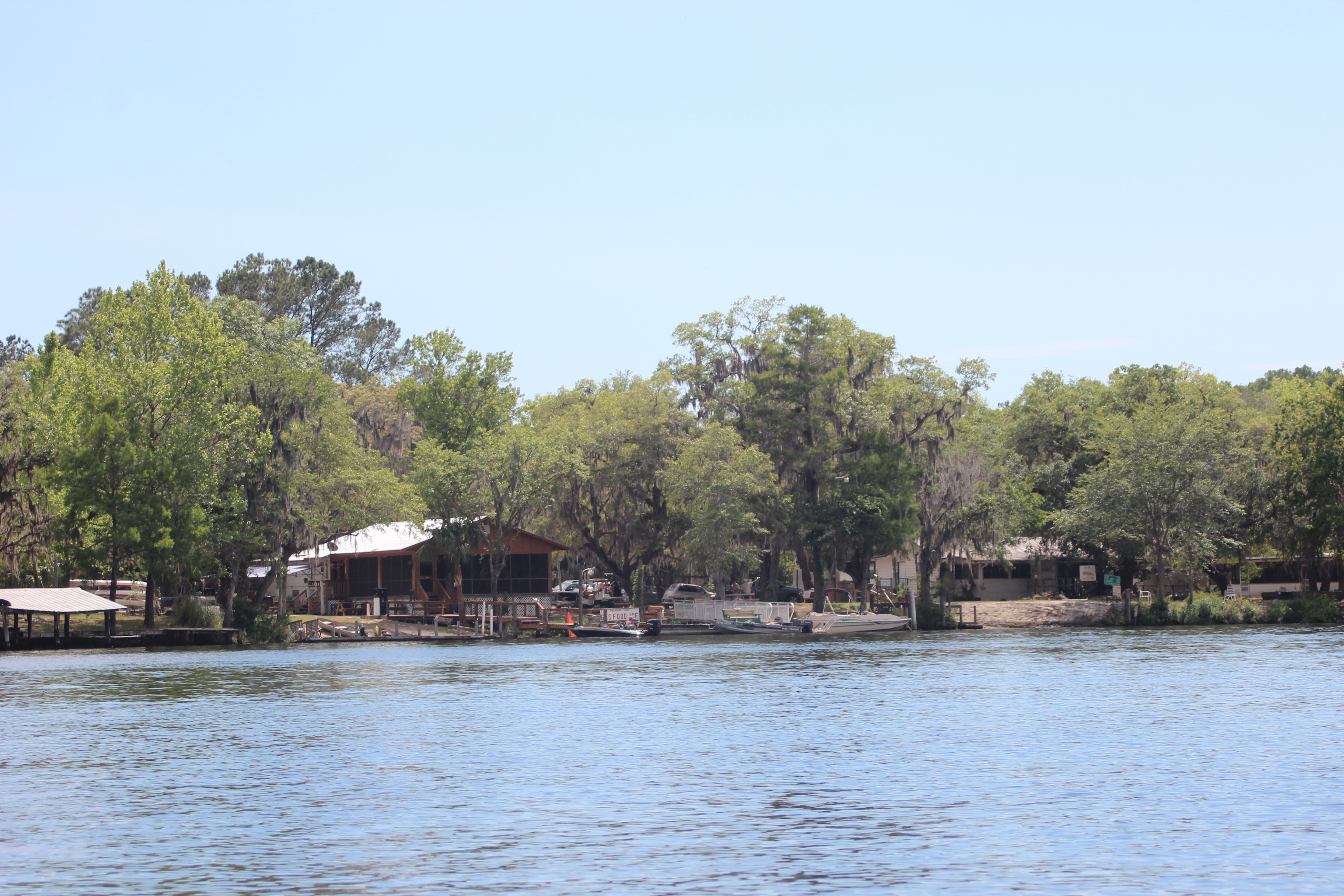
There is a restaurant/bar/pick-up point/campground an easy mile up the Sante Fe – Ellie Rays – depending on your time on the water, it might just be worth the short paddle to you.

.

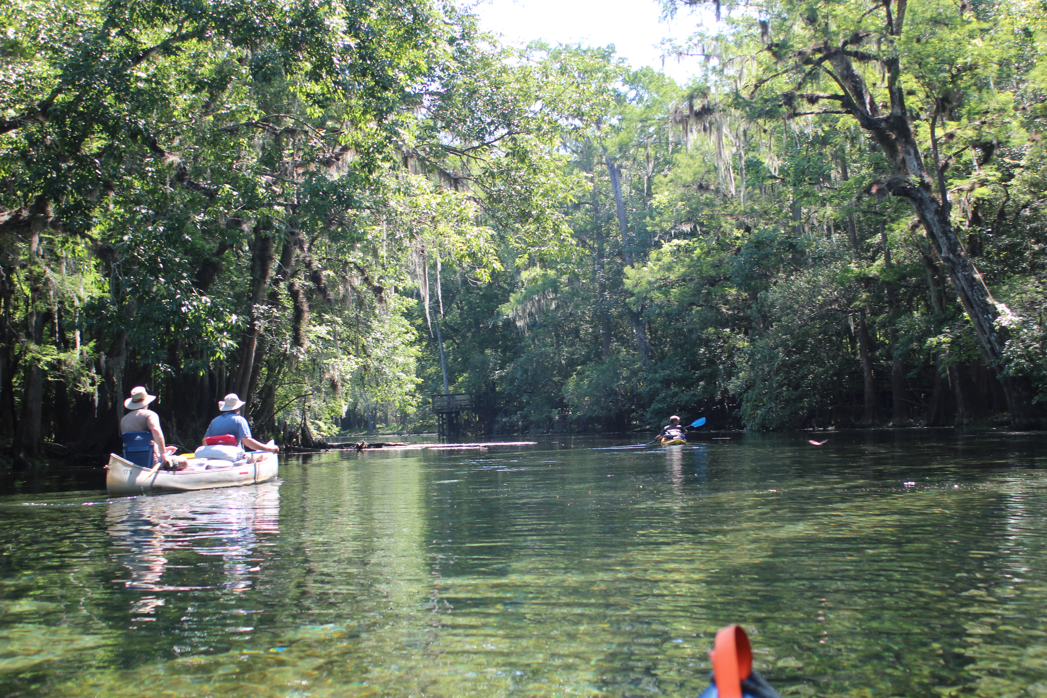
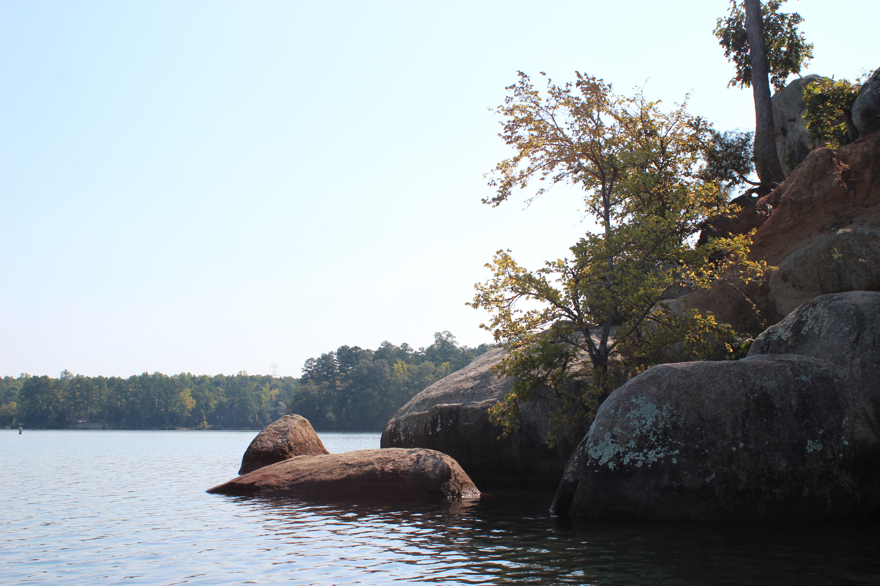
We continued to glide along the shoreline, observing in wonderment the simple things where people and nature clash – here trees seemingly grow from the rocks.
 .
.

Carl and Richard were now paying less attention to their paddling and spending more time observing their surroundings – sooner or later ‘the river’ can absorb you.
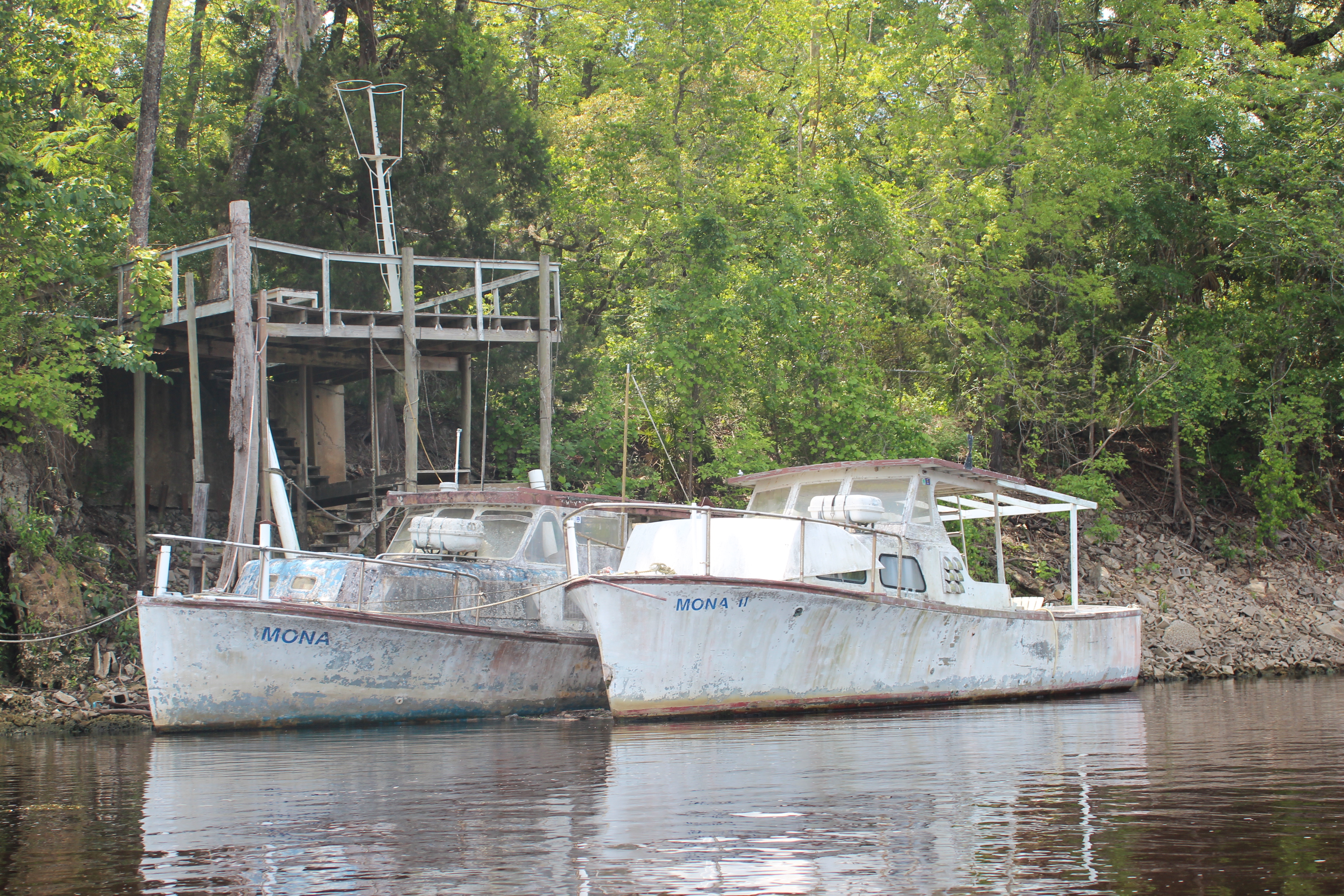 The ‘Mona’ twins
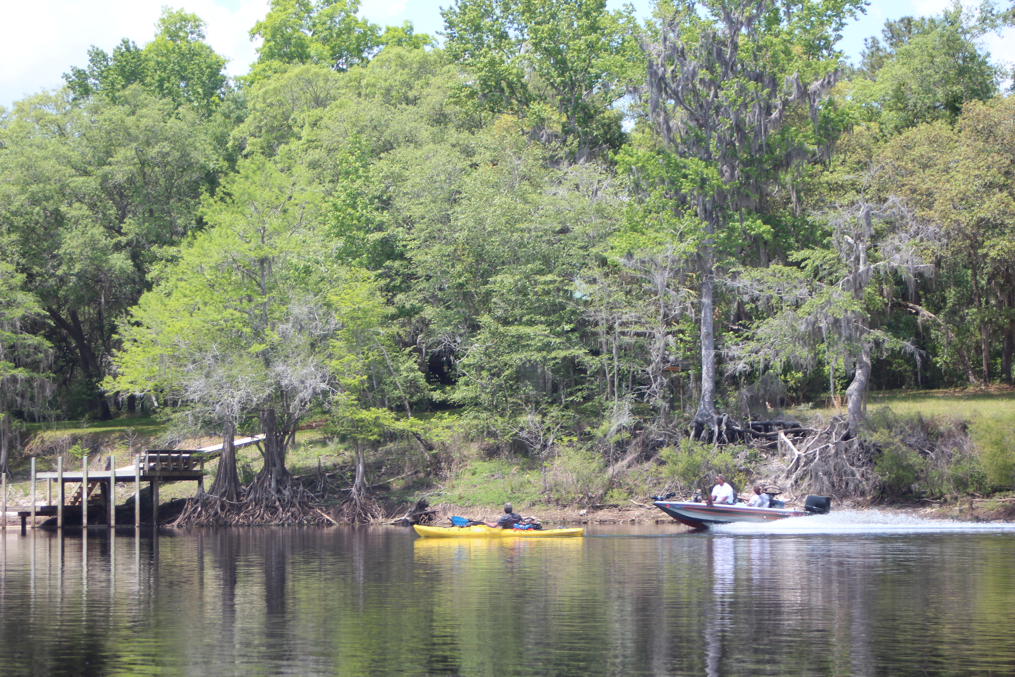
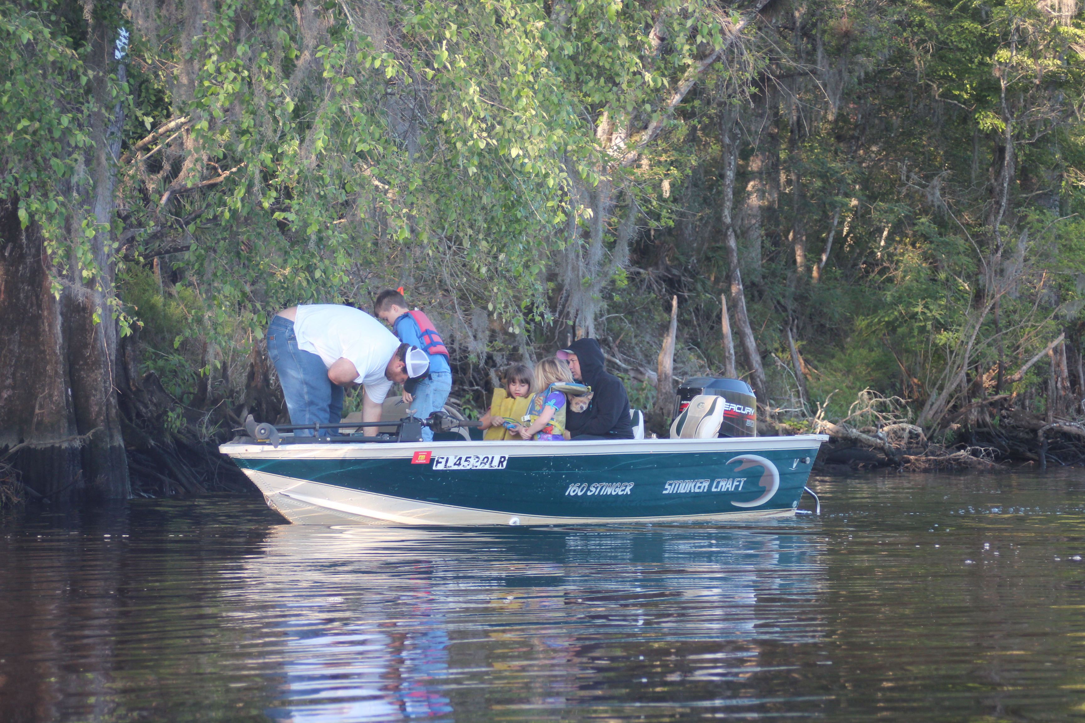
and then came the boats…….

the waves, the people; it was indeed – the weekend.

hydro-phonic tomato plants on a dock, neat idea.
 Seawalls of cement sandbags

and this familiar boat just before the highway 340 bridge/ramp.
 Just up the ramp was the Rock Bluff BBQ, so yes, we found unexpected (and welcomed) land food and cold beverage. It was around four, early for supper but we went for a sandwich and washed it down with a cold beverage. The folks there were real welcoming and would have allowed us to camp behind their place for the night if we wanted (live music); we came close….
.
but after filling ourselves with ballast and cold beverage we forged-on, to the Gonto Springs Park/ramp – this was our goal for the day.
 This was an interesting stop to say the least. For a small fee you can camp, a cold-water shower is available – plus if you make it at the right time you can listen as the ‘locals’ yell at their kids in the spring as they linger in ‘cut-off blue-jeans and dated swim suits. During our night there was even more partying across the river (celebrated by shooting guns through the night – pow, pow, pow) and cars driving through the park. As a bonus the next morning – we found some real ‘hate’ literature nailed about –
 all ‘entertainment’ – as the golf cart babes made another circle in the park…..

Dixie County, ‘fire-arms’ was blacked out – it all fit.

– it was amusing. Over all the ‘locals’ were friendly and really didn’t affect us much; they didn’t seem to mind a few paddlers teetering at the edge of their world. And for us we were fine with the activity, ‘cheap-entertainment’ – that is as long as those bullets didn’t fly our way. Life was good (and we didn’t mess with their golf-cart women!).
.
Day 6 – Gornto Springs to Fanning Springs State Park (rm 55 to 34) 21 mi
.
As I walked to the bathroom early the next morning I came up behind a gal was on her knees in front of her boyfriend – I kiddingly exclaimed ‘HEY! its waaay to early for that!’ – she slowly turned, then explained that she was inspecting/removing a tick from the big guys belly-button – this seemed the perfect memory for our visit at Gornto Park; the ‘belly-button’ of the Suwannee.

With no hot-water the shower would have to wait; at waters edge Gordy’s moments reminded me of how paddlers unwittingly begin their days in a similar manner. While camping along the Mississippi, I observed as two paddlers (after 48-days) began their daily routine with a few moments of reflection before boarding – very much the same here.

It was good to be back on the water and thinking about something other than a chick searching for a tick in a big guys belly-button (or one of those golf-cart babes) – once back on the Suwannee we were hunting the ‘shady side’ early, Day 6.

On more than one dock there were ferns growing from the wood-work.

With the temperature in the eighties, running the shady side worked for us. When paddling there are numerous factors to consider with your direction – how best to utilize the current, where the shade is, the shortest course, the wind – and then sometimes none of it really matters at all

because boats and people create other factors.
 .
.
 Hart Springs for lunch.
 .
.
 With more boats,
and lots more people.
 .
.
 We fought wind, waves and people on this date, making it to Fanning Springs State Park where we would camp.
Note: There are Cabins available for those that plan ahead ($100).

we had 50 Boy Scouts sharing the same camp-site.
There is plenty of ‘land-food’ at Fanning Springs too, just across the park are several choices of ballast – we chose the seafood place (The Lighthouse Rest), and loaded up – after that, the boy scouts were no bother. zzzzzz
.
Next paddle days, Day 7, 8 – Fanning Springs to the Gulf
(Previous years paddle of same area)
.
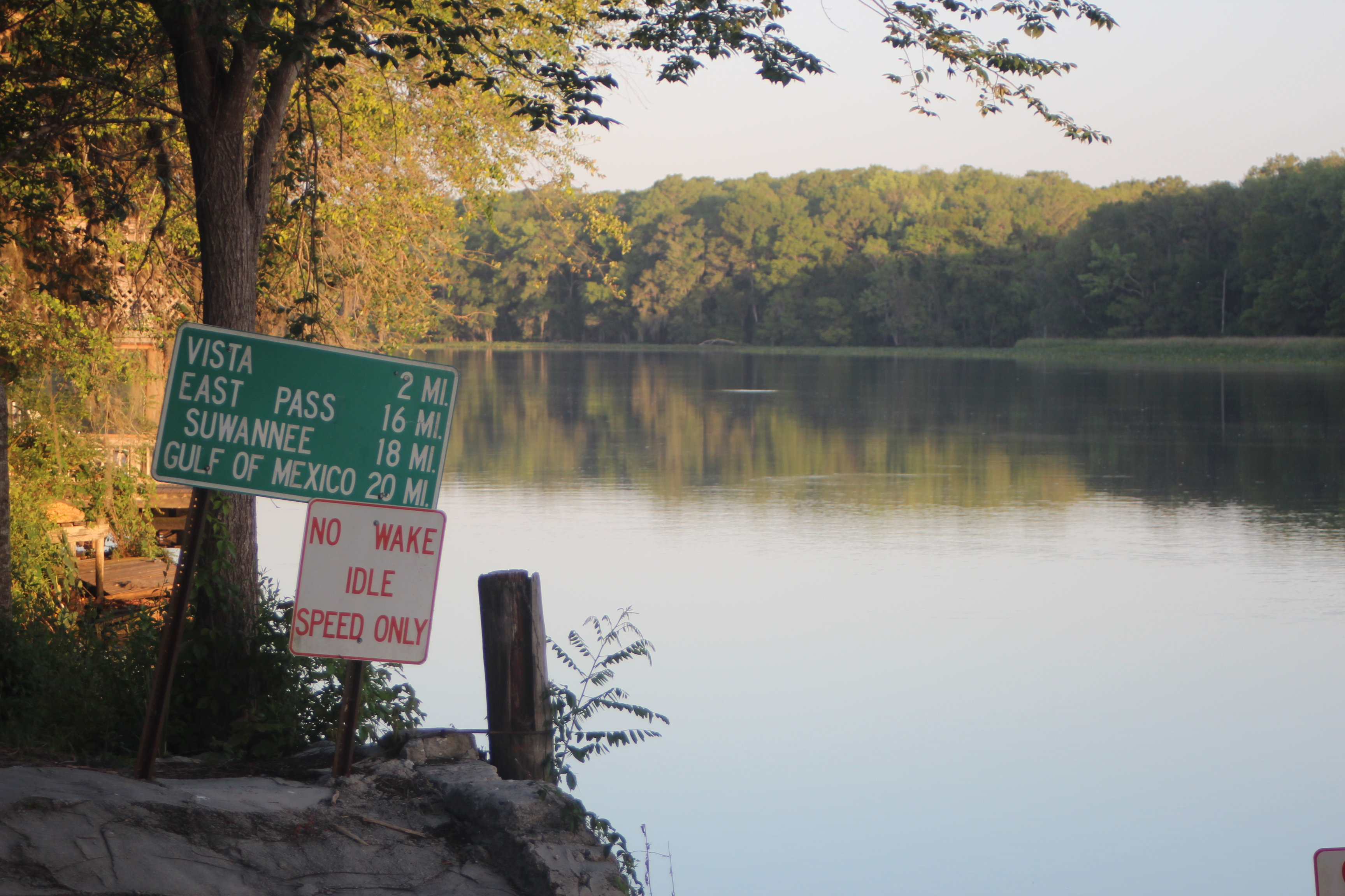
Suwannee River Mile References
note: even though mentioned and shown on available maps – there are NO physical ‘river-mile’ indicators along the river. For further Suwannee River mileage information, check this link – Suwannee River Mileage, Trip Agenda ideas.
Opinion; Marking existing landmarks such as bridges, ramps, and river camps with a numerical reference would provide basic orientation points (and emergency references) along the river (the Mississippi has them).